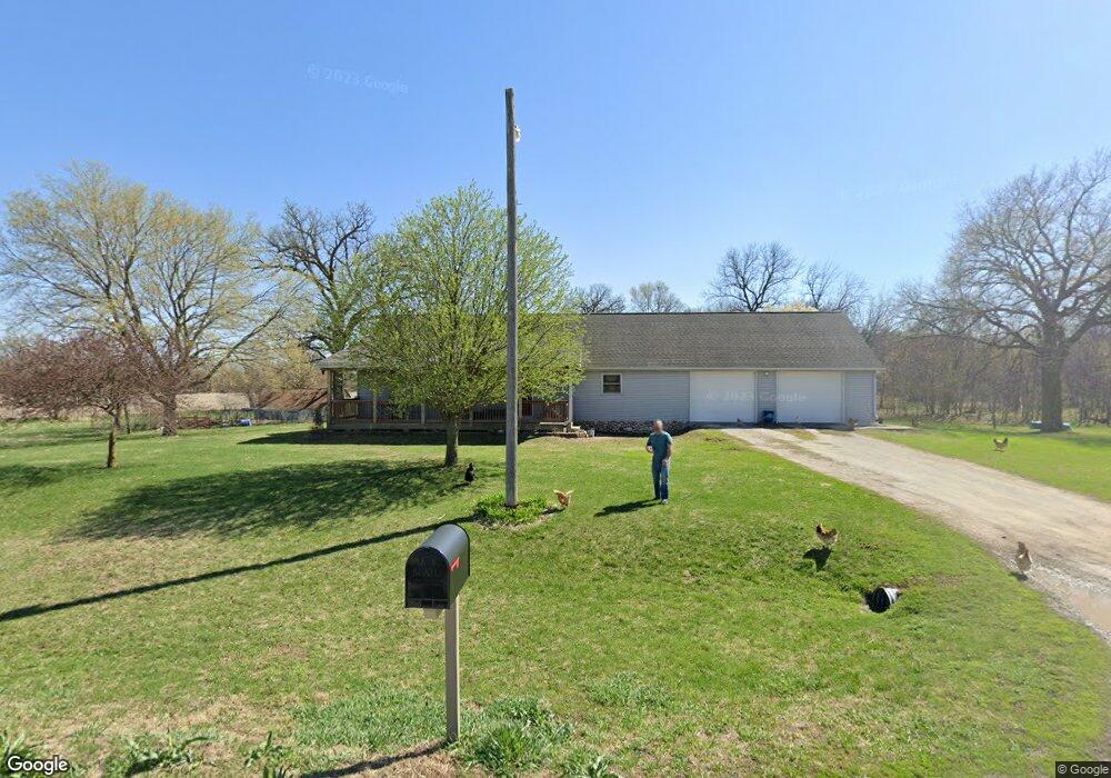
29699 Epperson Ave Silver City, IA 51571
Estimated Value: $175,000 - $416,000
3
Beds
1
Bath
1,456
Sq Ft
$227/Sq Ft
Est. Value
About This Home
This home is located at 29699 Epperson Ave, Silver City, IA 51571 and is currently estimated at $330,328, approximately $226 per square foot. 29699 Epperson Ave is a home located in Mills County with nearby schools including East Mills Elementary School and East Mills Jr. Sr. High School.
Ownership History
Date
Name
Owned For
Owner Type
Purchase Details
Closed on
Oct 28, 2010
Sold by
Blanchard Trevor D and Blanchard Ann E
Bought by
Blanchard Trevor D and Blanchard Ann E
Current Estimated Value
Home Financials for this Owner
Home Financials are based on the most recent Mortgage that was taken out on this home.
Original Mortgage
$156,000
Interest Rate
4.37%
Mortgage Type
New Conventional
Create a Home Valuation Report for This Property
The Home Valuation Report is an in-depth analysis detailing your home's value as well as a comparison with similar homes in the area
Purchase History
| Date | Buyer | Sale Price | Title Company |
|---|---|---|---|
| Blanchard Trevor D | -- | -- |
Source: Public Records
Mortgage History
| Date | Status | Borrower | Loan Amount |
|---|---|---|---|
| Closed | Blanchard Trevor D | $156,000 |
Source: Public Records
Tax History
| Year | Tax Paid | Tax Assessment Tax Assessment Total Assessment is a certain percentage of the fair market value that is determined by local assessors to be the total taxable value of land and additions on the property. | Land | Improvement |
|---|---|---|---|---|
| 2025 | $4,104 | $363,028 | $133,110 | $229,918 |
| 2024 | $4,104 | $350,014 | $133,110 | $216,904 |
| 2023 | $3,194 | $287,813 | $52,000 | $235,813 |
| 2022 | $3,046 | $226,149 | $52,000 | $174,149 |
| 2021 | $2,482 | $226,149 | $52,000 | $174,149 |
| 2020 | $2,482 | $201,006 | $42,000 | $159,006 |
| 2019 | $2,238 | $178,291 | $0 | $0 |
| 2018 | $2,310 | $178,381 | $0 | $0 |
| 2017 | $2,238 | $172,455 | $0 | $0 |
| 2016 | $2,044 | $0 | $0 | $0 |
| 2015 | $2,076 | $172,455 | $0 | $0 |
| 2014 | $2,136 | $159,418 | $0 | $0 |
Source: Public Records
Map
Nearby Homes
- 103 Park St
- 414 Lynn St
- 27710 Dobney Ave
- 52941 Dew Berry Ln
- 52970 Dew Berry Ln
- 52940 Dew Berry Ln
- 27822 Dobney Ave
- 27815 Coffee Tree Ln
- 27820 Coffee Tree Ln
- 27704 Dobney Ave
- 27723 Coffee Tree Ln
- 27640 Coffee Tree Ln
- 52937 275th St
- 52931 275th St
- 51912 275th St
- 40 ACRES 305th St
- 23388 Gaston Ave
- 27472 Hershey Ave
- 58754 310th St
- 55080 250th St
Your Personal Tour Guide
Ask me questions while you tour the home.