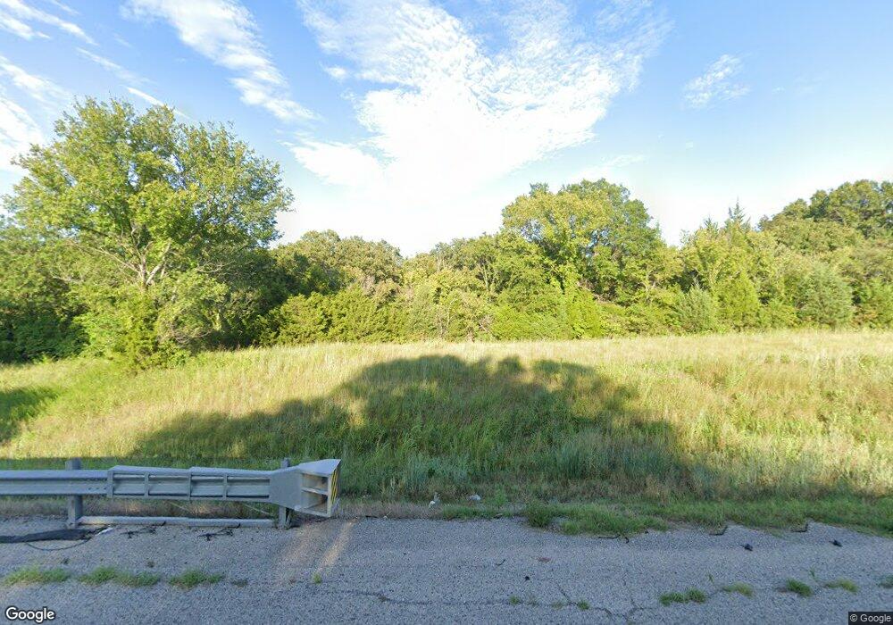
29699 U S Highway 177 Macomb, OK 74852
Estimated Value: $261,000 - $264,998
2
Beds
1
Bath
1,200
Sq Ft
$219/Sq Ft
Est. Value
About This Home
This home is located at 29699 U S Highway 177, Macomb, OK 74852 and is currently estimated at $262,999, approximately $219 per square foot. 29699 U S Highway 177 is a home located in Pottawatomie County with nearby schools including Macomb Elementary School and Macomb High School.
Ownership History
Date
Name
Owned For
Owner Type
Purchase Details
Closed on
Nov 15, 2016
Sold by
Humphrey Gerallyn
Bought by
Humphrey Michael Bradley and Humphrey Shannon Kay
Current Estimated Value
Purchase Details
Closed on
Jan 15, 2016
Sold by
Humphrey Charles Kay and Humphrey Gerallyn
Bought by
Humphrey Charles Kay and Humphrey Gerallyn
Purchase Details
Closed on
Feb 6, 2002
Sold by
Parson Randy and Parson Brandi
Bought by
Humphrey Michael and Humphrey Shanno
Create a Home Valuation Report for This Property
The Home Valuation Report is an in-depth analysis detailing your home's value as well as a comparison with similar homes in the area
Home Values in the Area
Average Home Value in this Area
Purchase History
| Date | Buyer | Sale Price | Title Company |
|---|---|---|---|
| Humphrey Michael Bradley | -- | None Available | |
| Humphrey Charles Kay | -- | None Available | |
| Humphrey Michael | $30,000 | -- |
Source: Public Records
Tax History Compared to Growth
Tax History
| Year | Tax Paid | Tax Assessment Tax Assessment Total Assessment is a certain percentage of the fair market value that is determined by local assessors to be the total taxable value of land and additions on the property. | Land | Improvement |
|---|---|---|---|---|
| 2025 | $498 | $7,513 | $798 | $6,715 |
| 2024 | $481 | $7,294 | $775 | $6,519 |
| 2023 | $481 | $7,082 | $728 | $6,354 |
| 2022 | $464 | $6,875 | $706 | $6,169 |
| 2021 | $449 | $6,875 | $706 | $6,169 |
| 2020 | $433 | $6,481 | $665 | $5,816 |
| 2019 | $418 | $6,293 | $638 | $5,655 |
| 2018 | $404 | $6,109 | $609 | $5,500 |
| 2017 | $390 | $5,931 | $584 | $5,347 |
| 2016 | $376 | $5,759 | $561 | $5,198 |
| 2015 | $363 | $5,591 | $583 | $5,008 |
| 2014 | $350 | $5,428 | $390 | $5,038 |
Source: Public Records
Map
Nearby Homes
- 0002 Romulus Rd
- 28275 Harrison Rd
- 40326 Romulus Rd
- 30310 Skagg City Rd
- 000 Sing Rd
- 0 Coker Rd
- 0 N338 Rd
- 39811 Anderson Rd
- 0001 Andrson Rd
- 0 Gaddy Rd
- 37271 Romulus Rd
- 40670 Oklahoma 59b
- 45206 Fairview Rd
- 0000 Brangus Rd
- 0000 Oklahoma 59b
- 0000 SW Rattlesnake Hill Rd
- 0 Sewell Ave
- 0000 Gaddy Rd
- 45453 Highway 59
- 0 Turkey Hill Rd Resthaven Rd Unit 11100099
- 29682 Old Highway 18
- 29844 Old Highway 18
- 29683 Old Highway 18
- 29590 Old Highway 18
- 29847 Old Highway 18
- 29591 Old Highway 18
- 29485 U S Highway 177
- 29520 Old Highway 18
- 0 Highway 177 Hwy Unit 1079936
- 29969 Old Highway 18
- 29189 U S Highway 177
- 29250 Old Highway 18
- 0 000025008003000800 Unit 1125011
- 41564 Wye Rd
- 41632 Wye Rd
- 0 Kickapoo Rd
- 0 Hwy 177 and 59b Hwy Unit 1002201
- 40925 Highway 59b
- 41802 Wye Rd
- 30214 Old Highway 18
