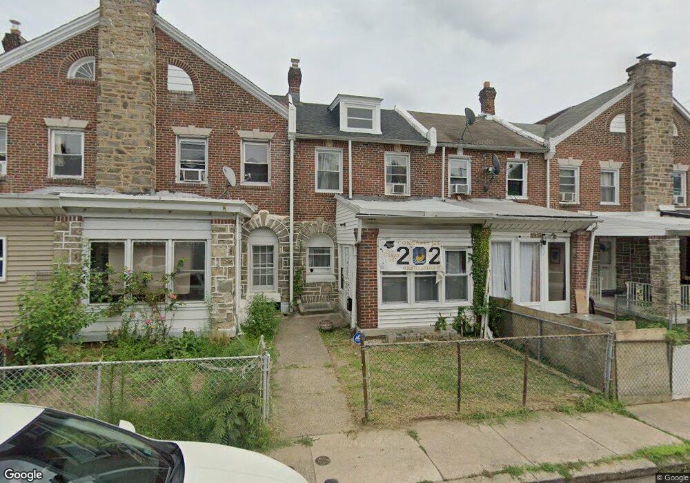
297 Copley Rd Upper Darby, PA 19082
Blywood NeighborhoodEstimated Value: $157,000 - $209,000
3
Beds
2
Baths
1,336
Sq Ft
$140/Sq Ft
Est. Value
About This Home
This home is located at 297 Copley Rd, Upper Darby, PA 19082 and is currently estimated at $187,268, approximately $140 per square foot. 297 Copley Rd is a home located in Delaware County with nearby schools including Bywood Elementary School, Upper Darby Kdg Center, and Upper Darby High School.
Ownership History
Date
Name
Owned For
Owner Type
Purchase Details
Closed on
Jun 12, 2017
Sold by
Singh Khajan
Bought by
Tyagi Upendra and Tyagi Gunjan
Current Estimated Value
Purchase Details
Closed on
Jul 15, 2011
Sold by
Kim Chang Sik and Kim Kwang Day
Bought by
Singh Khajan
Home Financials for this Owner
Home Financials are based on the most recent Mortgage that was taken out on this home.
Original Mortgage
$71,962
Interest Rate
4.51%
Mortgage Type
FHA
Create a Home Valuation Report for This Property
The Home Valuation Report is an in-depth analysis detailing your home's value as well as a comparison with similar homes in the area
Home Values in the Area
Average Home Value in this Area
Purchase History
| Date | Buyer | Sale Price | Title Company |
|---|---|---|---|
| Tyagi Upendra | $67,000 | None Available | |
| Singh Khajan | $75,000 | Fidelity National Title Insu |
Source: Public Records
Mortgage History
| Date | Status | Borrower | Loan Amount |
|---|---|---|---|
| Previous Owner | Singh Khajan | $71,962 |
Source: Public Records
Tax History Compared to Growth
Tax History
| Year | Tax Paid | Tax Assessment Tax Assessment Total Assessment is a certain percentage of the fair market value that is determined by local assessors to be the total taxable value of land and additions on the property. | Land | Improvement |
|---|---|---|---|---|
| 2025 | $3,590 | $84,880 | $22,130 | $62,750 |
| 2024 | $3,590 | $84,880 | $22,130 | $62,750 |
| 2023 | $3,556 | $84,880 | $22,130 | $62,750 |
| 2022 | $3,460 | $84,880 | $22,130 | $62,750 |
| 2021 | $4,666 | $84,880 | $22,130 | $62,750 |
| 2020 | $3,457 | $53,440 | $17,210 | $36,230 |
| 2019 | $3,396 | $53,440 | $17,210 | $36,230 |
| 2018 | $3,357 | $53,440 | $0 | $0 |
| 2017 | $3,270 | $53,440 | $0 | $0 |
| 2016 | $293 | $53,440 | $0 | $0 |
| 2015 | $293 | $53,440 | $0 | $0 |
| 2014 | $293 | $53,440 | $0 | $0 |
Source: Public Records
Map
Nearby Homes
- 7138 Pine St
- 7233 Spruce St
- 268 Hampden Rd
- 234 Long Ln
- 361 Richfield Rd
- 214 Kingston Rd
- 240 Glendale Rd
- 207 Avon Rd
- 7252 Brent Rd
- 426 Hampden Rd
- 7251 Bradford Rd
- 7239 Bradford Rd
- 7249 Spruce St
- 200 Wembly Rd
- 7265 Calvin Rd
- 424 Woodcliffe Rd
- 442 Woodcliffe Rd
- 510 Woodcliffe Rd
- 504 Woodcliffe Rd
- 278 Bayard Rd