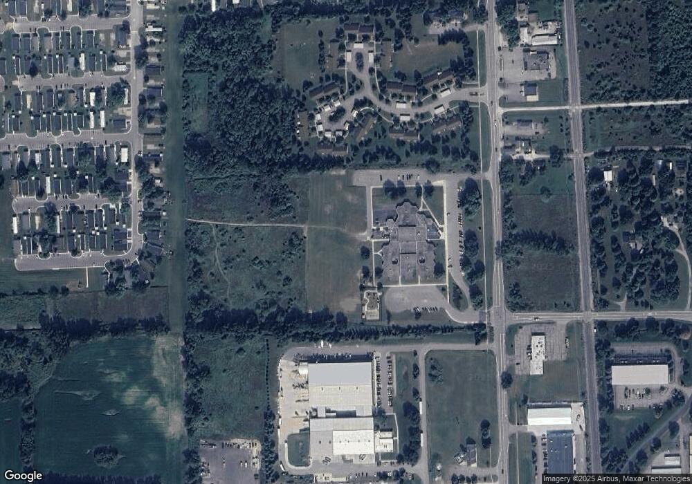
297 Countryside Ct Unit 29 Highland, MI 48357
Estimated Value: $193,000 - $200,713
1
Bed
1
Bath
1,090
Sq Ft
$181/Sq Ft
Est. Value
About This Home
This home is located at 297 Countryside Ct Unit 29, Highland, MI 48357 and is currently estimated at $196,928, approximately $180 per square foot. 297 Countryside Ct Unit 29 is a home located in Oakland County with nearby schools including Highland Elementary School, Muir Middle School, and West Highland Christian Academy.
Ownership History
Date
Name
Owned For
Owner Type
Purchase Details
Closed on
Feb 13, 2018
Sold by
Miller Earl
Bought by
Long Mercedes
Current Estimated Value
Home Financials for this Owner
Home Financials are based on the most recent Mortgage that was taken out on this home.
Original Mortgage
$50,000
Outstanding Balance
$42,303
Interest Rate
3.95%
Mortgage Type
New Conventional
Estimated Equity
$154,625
Purchase Details
Closed on
Jul 17, 2017
Sold by
Fannie Mae
Bought by
Miller Michael Earl
Purchase Details
Closed on
Jun 30, 2006
Sold by
Burgess Susan and Little Susan L
Bought by
Laundra Janice
Home Financials for this Owner
Home Financials are based on the most recent Mortgage that was taken out on this home.
Original Mortgage
$70,000
Interest Rate
6.73%
Mortgage Type
Unknown
Create a Home Valuation Report for This Property
The Home Valuation Report is an in-depth analysis detailing your home's value as well as a comparison with similar homes in the area
Home Values in the Area
Average Home Value in this Area
Purchase History
| Date | Buyer | Sale Price | Title Company |
|---|---|---|---|
| Long Mercedes | $122,000 | None Available | |
| Miller Michael Earl | $89,716 | None Available | |
| Laundra Janice | $132,000 | Metropolitan Title Company |
Source: Public Records
Mortgage History
| Date | Status | Borrower | Loan Amount |
|---|---|---|---|
| Open | Long Mercedes | $50,000 | |
| Previous Owner | Laundra Janice | $70,000 |
Source: Public Records
Tax History Compared to Growth
Tax History
| Year | Tax Paid | Tax Assessment Tax Assessment Total Assessment is a certain percentage of the fair market value that is determined by local assessors to be the total taxable value of land and additions on the property. | Land | Improvement |
|---|---|---|---|---|
| 2024 | $1,417 | $92,120 | $0 | $0 |
| 2023 | $1,351 | $74,620 | $0 | $0 |
| 2022 | $1,999 | $65,400 | $0 | $0 |
| 2021 | $1,898 | $59,470 | $0 | $0 |
| 2020 | $1,238 | $62,030 | $0 | $0 |
| 2019 | $1,849 | $53,580 | $0 | $0 |
| 2018 | $1,745 | $48,390 | $0 | $0 |
| 2017 | $1,424 | $48,390 | $0 | $0 |
| 2016 | $1,408 | $41,820 | $0 | $0 |
| 2015 | -- | $35,290 | $0 | $0 |
| 2014 | -- | $26,450 | $0 | $0 |
| 2011 | -- | $39,620 | $0 | $0 |
Source: Public Records
Map
Nearby Homes
- 171 Countryside Ln
- 222 Countryside Ln
- 230 Macgregor Ct E
- 1956 N Percy St
- 1949 Percy
- 1900 Percy
- 2735 Blue Bird Ln
- 2725 Blue Bird Ln
- 3015 Lakeview Blvd
- 515 Skinner
- 83 Elm
- 33 Pine Unit 33
- 5 Cedar Unit 5
- 3397 Harvey Lake Rd
- 173 Birch Unit 173
- 2685 Fry Rd
- 53 Ash Ave Unit 53
- 3610 Tara Dr
- 4188 Loch Dr
- 1716 E Wardlow Rd
- 171 Countryside Ln Unit 38
- 165 Countryside Ln Unit 10 39
- 141 Countryside Ln Unit 41
- 165 Countryside Ln
- 177 Countryside Ln Unit 37
- 229 Countryside Ct Unit 35
- 235 Countryside Ct
- 241 Countryside Ct Unit 33
- 285 Countryside Ct Unit 31
- 291 Countryside Ct
- 323 Countryside Ct Unit 26
- 296 Countryside Ct
- 290 Countryside Ct Unit 23
- 260 Countryside Ln Unit 18
- 240 Countryside Ln
- 234 Countryside Ln
- 228 Countryside Ln
- 208 Countryside Ln
- 202 Countryside Ln
- 196 Countryside Ln
