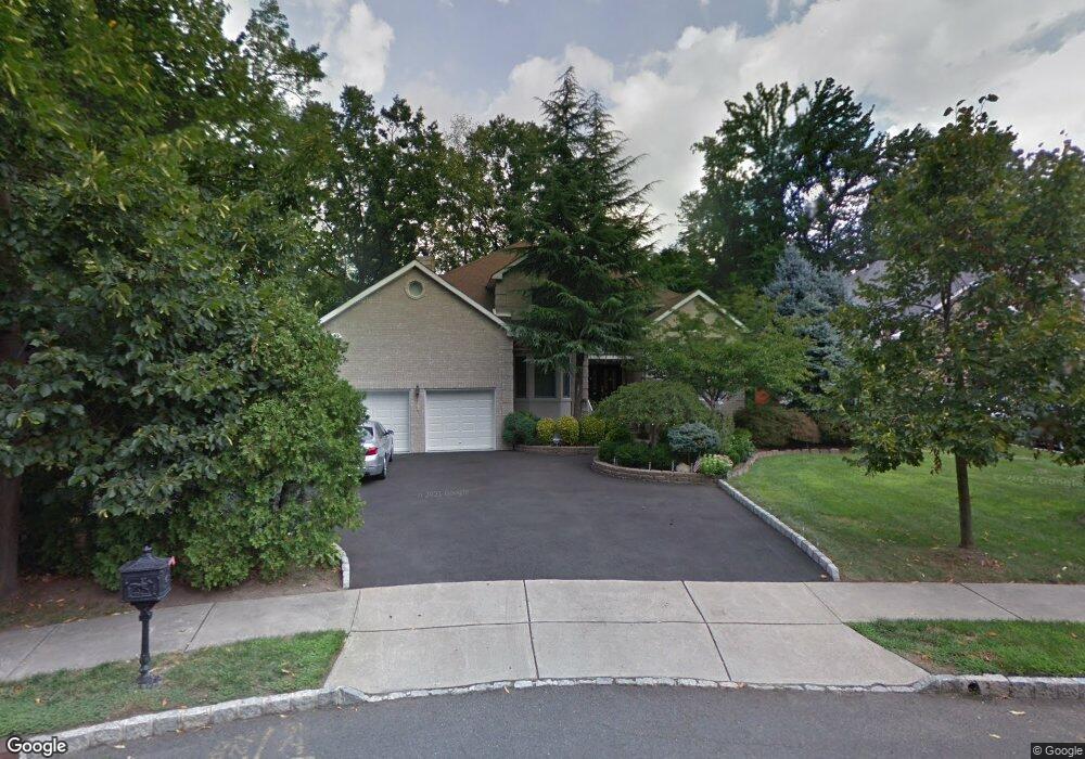
297 Justin Ct Paramus, NJ 07652
Estimated Value: $1,486,000 - $1,750,000
Studio
--
Bath
3,460
Sq Ft
$475/Sq Ft
Est. Value
About This Home
This home is located at 297 Justin Ct, Paramus, NJ 07652 and is currently estimated at $1,644,763, approximately $475 per square foot. 297 Justin Ct is a home located in Bergen County with nearby schools including Paramus High School, Ben Porat Yosef, and Visitation Academy.
Ownership History
Date
Name
Owned For
Owner Type
Purchase Details
Closed on
Jun 27, 2005
Sold by
Chung Haeyang
Bought by
Kim Soo B
Current Estimated Value
Home Financials for this Owner
Home Financials are based on the most recent Mortgage that was taken out on this home.
Original Mortgage
$600,000
Outstanding Balance
$314,622
Interest Rate
5.73%
Estimated Equity
$1,330,141
Purchase Details
Closed on
Jun 10, 1998
Sold by
Que Line Developers Inc
Bought by
Chung Haeyang and Chung Iris
Home Financials for this Owner
Home Financials are based on the most recent Mortgage that was taken out on this home.
Original Mortgage
$350,000
Interest Rate
7.11%
Create a Home Valuation Report for This Property
The Home Valuation Report is an in-depth analysis detailing your home's value as well as a comparison with similar homes in the area
Home Values in the Area
Average Home Value in this Area
Purchase History
| Date | Buyer | Sale Price | Title Company |
|---|---|---|---|
| Kim Soo B | $990,000 | -- | |
| Chung Haeyang | $500,800 | -- |
Source: Public Records
Mortgage History
| Date | Status | Borrower | Loan Amount |
|---|---|---|---|
| Open | Kim Soo B | $600,000 | |
| Previous Owner | Chung Haeyang | $350,000 |
Source: Public Records
Tax History
| Year | Tax Paid | Tax Assessment Tax Assessment Total Assessment is a certain percentage of the fair market value that is determined by local assessors to be the total taxable value of land and additions on the property. | Land | Improvement |
|---|---|---|---|---|
| 2025 | $18,333 | $1,283,400 | $425,500 | $857,900 |
| 2024 | $17,848 | $1,210,900 | $393,700 | $817,200 |
| 2023 | $16,956 | $1,163,500 | $375,000 | $788,500 |
| 2022 | $16,956 | $1,092,500 | $349,900 | $742,600 |
| 2021 | $16,652 | $1,006,800 | $323,100 | $683,700 |
| 2020 | $15,835 | $992,800 | $318,100 | $674,700 |
| 2019 | $16,259 | $876,000 | $361,600 | $514,400 |
| 2018 | $16,057 | $876,000 | $361,600 | $514,400 |
| 2017 | $15,777 | $876,000 | $361,600 | $514,400 |
| 2016 | $15,348 | $876,000 | $361,600 | $514,400 |
| 2015 | $15,190 | $876,000 | $361,600 | $514,400 |
| 2014 | $15,058 | $876,000 | $361,600 | $514,400 |
Source: Public Records
Map
Nearby Homes
- 189 Forest Ave Unit 117
- 189 Forest Ave Unit 409
- 127 Village Cir E
- 300 Spring Valley Rd
- 122 Village Cir E
- 177 Haase Ave
- 374 Valley Rd
- 192 Thomas Dr
- 239 Greenway Terrace
- 179 Clayton Terrace
- 215 Kensington Rd
- 285 Wayne Ave
- 212 Monroe Ave
- 156 Stuart St
- 284 Continental Ave
- 765 7th Ave
- 302 Howland Ave
- 766 7th Ave
- 366 Spring Valley Rd
- 219 N Farview Ave
Your Personal Tour Guide
Ask me questions while you tour the home.