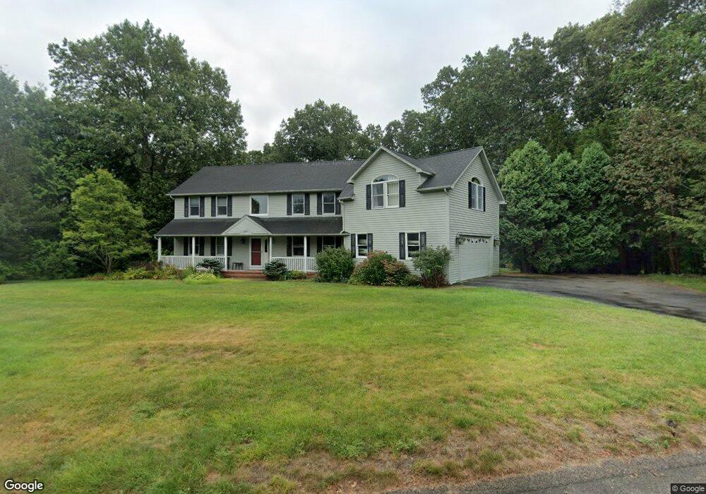
297 Laurel Ridge Ln North Kingstown, RI 02852
Wickford NeighborhoodEstimated Value: $934,000 - $1,081,000
4
Beds
4
Baths
2,908
Sq Ft
$343/Sq Ft
Est. Value
About This Home
This home is located at 297 Laurel Ridge Ln, North Kingstown, RI 02852 and is currently estimated at $996,076, approximately $342 per square foot. 297 Laurel Ridge Ln is a home located in Washington County with nearby schools including Stony Lane Elementary School, Davisville Middle School, and North Kingstown Sr. High School.
Ownership History
Date
Name
Owned For
Owner Type
Purchase Details
Closed on
Jun 27, 2003
Sold by
Cendant Moblty Fncl Co
Bought by
Perry Keith A
Current Estimated Value
Purchase Details
Closed on
Jul 9, 1999
Sold by
Frederickson Steven L and Frederickson P
Bought by
Vanberlo Mitchel B and Vanberlo Lisa K
Purchase Details
Closed on
Dec 3, 1996
Sold by
Teel Dennis W and Teel Patricia
Bought by
Frederickson Steven L
Purchase Details
Closed on
Nov 10, 1994
Sold by
Forcier Constr Co Inc
Bought by
Teel Dennis W and Teel Patricia
Create a Home Valuation Report for This Property
The Home Valuation Report is an in-depth analysis detailing your home's value as well as a comparison with similar homes in the area
Home Values in the Area
Average Home Value in this Area
Purchase History
| Date | Buyer | Sale Price | Title Company |
|---|---|---|---|
| Perry Keith A | $429,000 | -- | |
| Cendant Mobilty Fncl C | $479,000 | -- | |
| Vanberlo Mitchel B | $300,000 | -- | |
| Frederickson Steven L | $298,000 | -- | |
| Teel Dennis W | $292,000 | -- |
Source: Public Records
Mortgage History
| Date | Status | Borrower | Loan Amount |
|---|---|---|---|
| Open | Teel Dennis W | $273,000 | |
| Closed | Teel Dennis W | $150,000 | |
| Closed | Teel Dennis W | $75,000 |
Source: Public Records
Tax History Compared to Growth
Tax History
| Year | Tax Paid | Tax Assessment Tax Assessment Total Assessment is a certain percentage of the fair market value that is determined by local assessors to be the total taxable value of land and additions on the property. | Land | Improvement |
|---|---|---|---|---|
| 2025 | $8,929 | $808,800 | $244,900 | $563,900 |
| 2024 | $9,168 | $639,300 | $211,600 | $427,700 |
| 2023 | $9,168 | $639,300 | $211,600 | $427,700 |
| 2022 | $8,989 | $639,300 | $211,600 | $427,700 |
| 2021 | $8,731 | $498,900 | $137,700 | $361,200 |
| 2020 | $8,526 | $498,900 | $137,700 | $361,200 |
| 2019 | $8,526 | $498,900 | $137,700 | $361,200 |
| 2018 | $8,616 | $454,200 | $137,700 | $316,500 |
| 2017 | $8,444 | $454,200 | $137,700 | $316,500 |
| 2016 | $8,203 | $454,200 | $137,700 | $316,500 |
| 2015 | $7,801 | $404,200 | $129,700 | $274,500 |
| 2014 | $7,643 | $404,200 | $129,700 | $274,500 |
Source: Public Records
Map
Nearby Homes
- 02 Carrs Ln
- 0 Sanctuary Ln Unit 1388524
- 01 Sanctuary Ln
- 01 Carrs Ln
- 03 Carrs Ln
- 103 Rollingwood Dr
- 527 Hatchery Rd
- 201 Rodman Ln
- 53 Morgan Ct
- 750 Ten Rod Rd
- 165 Scrabbletown Rd
- 42 Thornton Way
- 25 Advent St
- 4000 Quaker Ln
- 5 Cedar Grove Dr
- 25 Cedar Grove Dr
- 212 Vista Cir
- 123 Stone Gate Dr
- 17 Caddy Rock Rd Unit D
- 15 Caddy Rock Rd Unit A
- 15 Highbush Terrace
- 306 Laurel Ridge Ln
- 27 Highbush Terrace
- 284 Laurel Ridge Ln
- 10 Highbush Terrace
- 272 Laurel Ridge Ln
- 39 Highbush Terrace
- 340 Laurel Ridge Ln
- 32 Highbush Terrace
- 362 Laurel Ridge Ln
- 325 Laurel Ridge Ln
- 258 Laurel Ridge Ln
- 376 Laurel Ridge Ln
- 331 Laurel Ridge Ln
- 12 Meghan Ln
- 16 Meghan Ln
- 56 Meghan Ln
- 56 Meghan Ln Unit 3 Right
- 68 Meghan Ln
- 52 Meghan Ln