297 Millingport Ln New London, NC 28127
Estimated Value: $512,000 - $776,316
4
Beds
4
Baths
2,888
Sq Ft
$215/Sq Ft
Est. Value
About This Home
This home is located at 297 Millingport Ln, New London, NC 28127 and is currently estimated at $622,329, approximately $215 per square foot. 297 Millingport Ln is a home with nearby schools including Troy Elementary School, Page Street Elementary School, and West Middle School.
Ownership History
Date
Name
Owned For
Owner Type
Purchase Details
Closed on
Jan 25, 2018
Sold by
Hall John Russell Stuart
Bought by
Hall Donna T
Current Estimated Value
Purchase Details
Closed on
Sep 27, 2010
Sold by
Halburn Properties Llc
Bought by
Hall John R S
Home Financials for this Owner
Home Financials are based on the most recent Mortgage that was taken out on this home.
Original Mortgage
$300,000
Outstanding Balance
$2,279
Interest Rate
4.45%
Mortgage Type
New Conventional
Estimated Equity
$620,050
Create a Home Valuation Report for This Property
The Home Valuation Report is an in-depth analysis detailing your home's value as well as a comparison with similar homes in the area
Home Values in the Area
Average Home Value in this Area
Purchase History
| Date | Buyer | Sale Price | Title Company |
|---|---|---|---|
| Hall Donna T | -- | None Available | |
| Hall John R S | -- | -- |
Source: Public Records
Mortgage History
| Date | Status | Borrower | Loan Amount |
|---|---|---|---|
| Open | Hall John R S | $300,000 |
Source: Public Records
Tax History Compared to Growth
Tax History
| Year | Tax Paid | Tax Assessment Tax Assessment Total Assessment is a certain percentage of the fair market value that is determined by local assessors to be the total taxable value of land and additions on the property. | Land | Improvement |
|---|---|---|---|---|
| 2025 | -- | $340,574 | $81,000 | $259,574 |
| 2024 | -- | $340,574 | $81,000 | $259,574 |
| 2023 | -- | $340,574 | $81,000 | $259,574 |
| 2022 | $0 | $340,574 | $81,000 | $259,574 |
| 2021 | $2,282 | $340,574 | $81,000 | $259,574 |
| 2020 | $2,282 | $340,574 | $81,000 | $259,574 |
| 2018 | $3,000 | $444,500 | $135,000 | $309,500 |
| 2017 | $3,000 | $444,500 | $135,000 | $309,500 |
| 2016 | $3,000 | $444,500 | $135,000 | $309,500 |
| 2015 | $2,800 | $444,500 | $0 | $0 |
| 2014 | $2,800 | $444,507 | $0 | $0 |
Source: Public Records
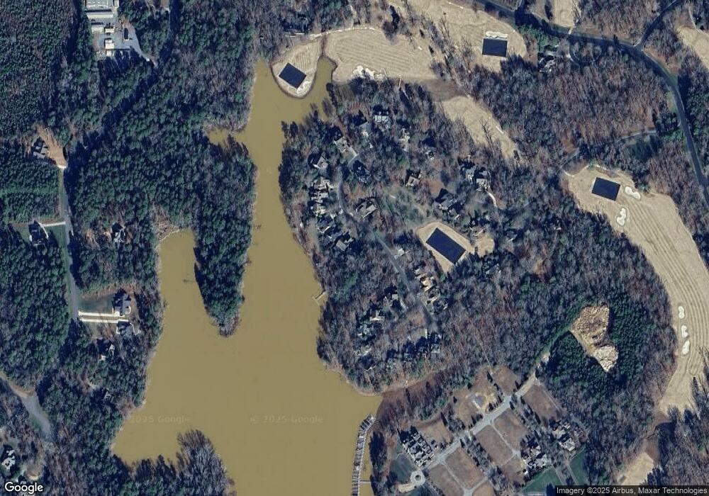
Map
Nearby Homes
- 115 Evergreen Ln
- 114 Candor Oaks
- 137 Heron Bay Dr
- 118 Candor Oaks
- 144 Heron Bay Dr
- 144 Heron Bay Dr Unit 5
- 197 Pearl Bay Dr
- 117 Whitley Mill Ln
- 117 Whitley Mill Rd
- 165 Futrell Landing
- 118 Gatlin Knoll
- 120 Swift Island Place
- 131 Stormy Ct Unit 21
- 131 Stormy Ct
- 108 Canoe Landing
- 123 Coggins Mine None
- 122 Patterson's Bridge
- 104 Old North State Ln
- 202 Pattersons Bridge
- 178 Bayview Ct
- 301 Millingport Ln
- 315 Millingport Ln
- 302 Millingport Ln
- 296 Millingport Ln
- 317 Millingport Ln
- 316 Millingport Ln
- 288 Millingport Ln
- 332 Millingport Ln
- 321 Millingport Ln
- 321 Millingport Ln Unit 34
- 1025 Millingport Place
- 273 Millingport Ln Unit Lot 29
- 273 Millingport Ln
- 335 Millingport Ln
- 335 Millingport Ln Unit 35
- 276 Millingport Ln
- 1021 Millingport Place
- 348 Millingport Ln
- 348 Millingport Ln Unit 80
- 339 Millingport Ln