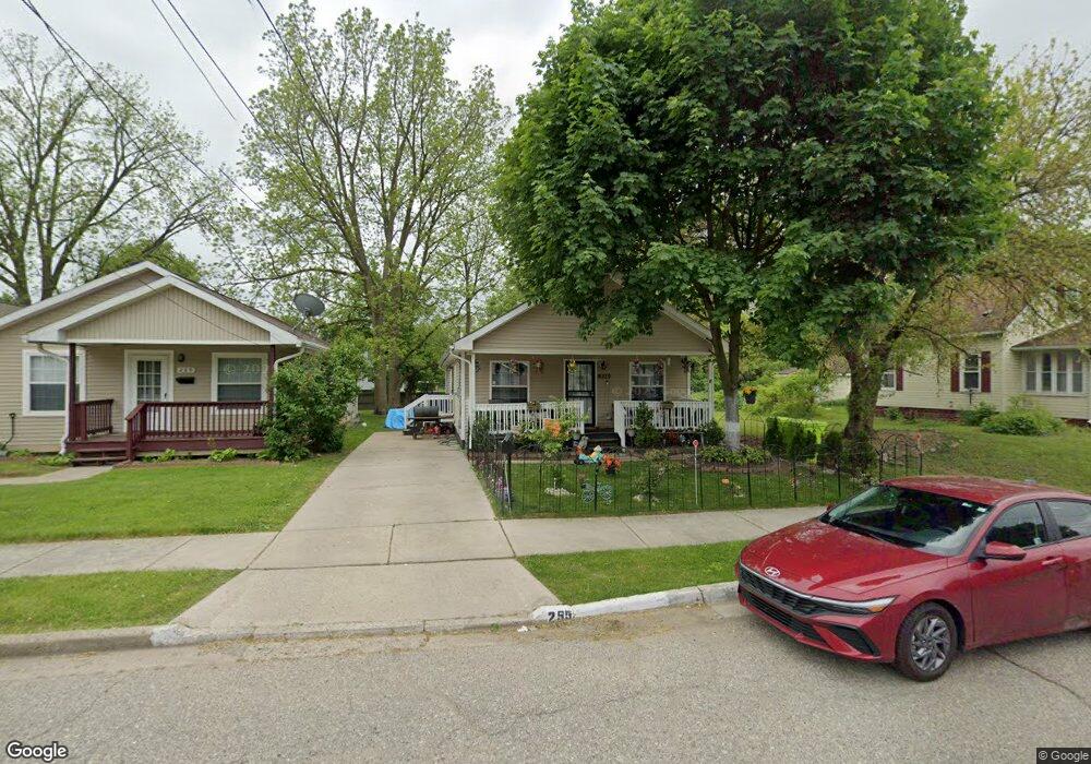
297 Rockwell Ave Unit Bldg-Unit Pontiac, MI 48341
Estimated Value: $12,000 - $431,179
--
Bed
--
Bath
--
Sq Ft
5,619
Sq Ft Lot
About This Home
This home is located at 297 Rockwell Ave Unit Bldg-Unit, Pontiac, MI 48341 and is currently estimated at $225,295. 297 Rockwell Ave Unit Bldg-Unit is a home located in Oakland County with nearby schools including Walt Whitman Elementary School, Pontiac Middle School, and Pontiac High School.
Ownership History
Date
Name
Owned For
Owner Type
Purchase Details
Closed on
Jun 21, 2022
Sold by
James Silver
Bought by
Curtis Peace
Current Estimated Value
Purchase Details
Closed on
Jun 13, 2013
Sold by
Treasurer Of Oakland County
Bought by
Naylor Capri
Purchase Details
Closed on
Oct 23, 2006
Sold by
Dohany Patrick M
Bought by
Buyers Market Llc
Purchase Details
Closed on
Apr 15, 2003
Sold by
Michael Joseph A
Bought by
Ashai Llc
Purchase Details
Closed on
Jan 3, 2003
Sold by
B B Group
Bought by
Michael Joseph
Purchase Details
Closed on
Jan 26, 1997
Sold by
Ottaco Inc
Bought by
B B Group
Create a Home Valuation Report for This Property
The Home Valuation Report is an in-depth analysis detailing your home's value as well as a comparison with similar homes in the area
Home Values in the Area
Average Home Value in this Area
Purchase History
| Date | Buyer | Sale Price | Title Company |
|---|---|---|---|
| Curtis Peace | $3,213 | None Listed On Document | |
| Naylor Capri | $250 | None Available | |
| Buyers Market Llc | $250 | None Available | |
| Ashai Llc | $1,000 | -- | |
| Michael Joseph | -- | -- | |
| B B Group | -- | -- |
Source: Public Records
Tax History Compared to Growth
Tax History
| Year | Tax Paid | Tax Assessment Tax Assessment Total Assessment is a certain percentage of the fair market value that is determined by local assessors to be the total taxable value of land and additions on the property. | Land | Improvement |
|---|---|---|---|---|
| 2024 | $152 | $2,760 | $0 | $0 |
| 2023 | $152 | $2,760 | $0 | $0 |
| 2022 | $93 | $2,510 | $0 | $0 |
| 2021 | $90 | $1,620 | $0 | $0 |
| 2020 | $89 | $1,620 | $0 | $0 |
| 2019 | $92 | $1,620 | $0 | $0 |
| 2018 | $92 | $1,620 | $0 | $0 |
| 2017 | $90 | $1,620 | $0 | $0 |
| 2016 | $100 | $1,800 | $0 | $0 |
| 2015 | -- | $1,800 | $0 | $0 |
| 2014 | -- | $1,800 | $0 | $0 |
| 2011 | -- | $0 | $0 | $0 |
Source: Public Records
Map
Nearby Homes
- 000 Rapid St
- 313 W Wilson Ave
- 00 Bagley St
- 288 Hughes Ave
- 248 Hughes Ave
- 240 Hughes Ave
- 232 Hughes Ave
- 185 Hughes Ave
- 215 Hughes Ave
- 228 Hughes Ave
- 200 Crystal Lake Dr
- 305 South Blvd W
- 598 Montana Ave
- 534 Nevada Ave
- 151 South Blvd W
- 605 Nebraska Ave
- 472 Wyoming Ave
- 000 Lake St
- 466 Colorado Ave
- 371 Nebraska Ave
- 297 Rockwell Ave
- 295 Rockwell Ave
- 301 Rockwell St
- 305 Rockwell Ave
- 289 Rockwell Ave
- 309 Rockwell Ave
- 285 Rockwell Ave
- 281 Rockwell Ave
- 317 Rockwell Ave
- 288 Fisher Ave
- 296 Rockwell Ave
- 292 Rockwell Ave
- 280 Rockwell Ave
- 275 Rockwell Ave
- 276 Fisher Ave
- 301 Fisher Ave
- 265 Rockwell Ave
- 324 Fisher Ave
- 301 Rapid St
- 297 Rapid St