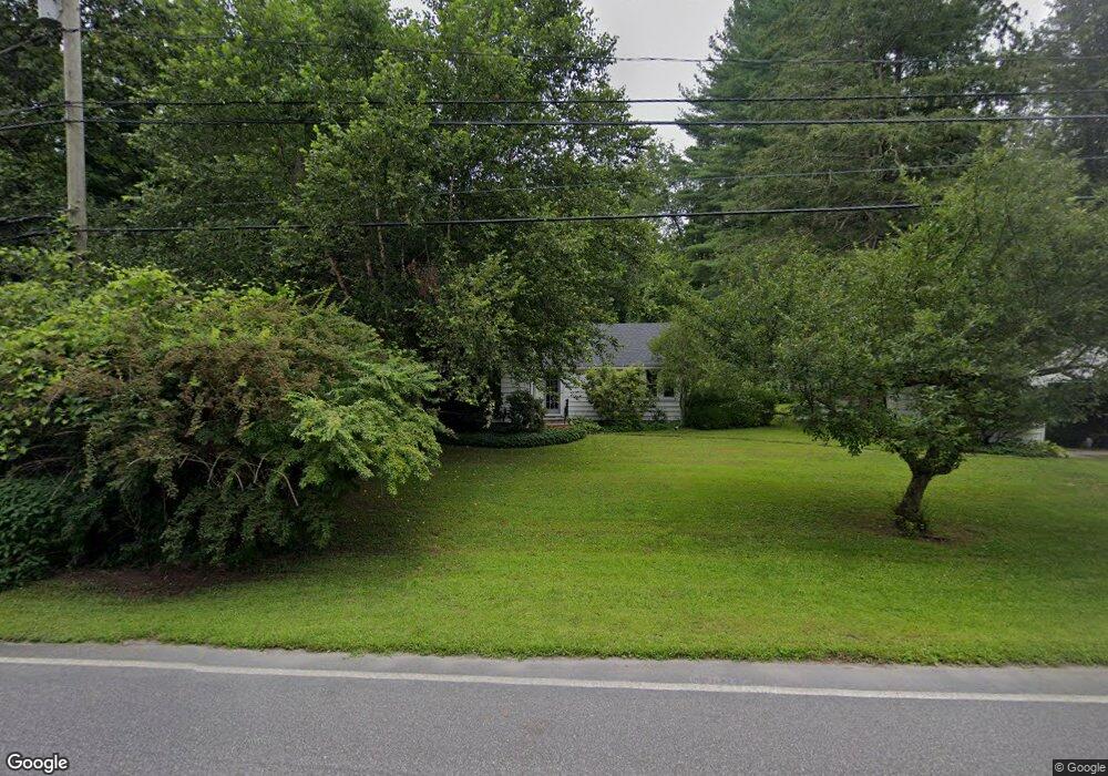
297 S Kent Rd South Kent, CT 06785
Estimated Value: $187,000 - $516,000
4
Beds
2
Baths
1,730
Sq Ft
$234/Sq Ft
Est. Value
About This Home
This home is located at 297 S Kent Rd, South Kent, CT 06785 and is currently estimated at $404,645, approximately $233 per square foot. 297 S Kent Rd is a home located in Litchfield County with nearby schools including Kent Center School, Housatonic Valley Regional High School, and South Kent School.
Ownership History
Date
Name
Owned For
Owner Type
Purchase Details
Closed on
Dec 22, 1994
Sold by
Zani Hazel C
Bought by
Dougherty Cindy Lou
Current Estimated Value
Home Financials for this Owner
Home Financials are based on the most recent Mortgage that was taken out on this home.
Original Mortgage
$55,000
Outstanding Balance
$25,165
Interest Rate
8%
Mortgage Type
Unknown
Estimated Equity
$379,480
Purchase Details
Closed on
Dec 5, 1984
Bought by
Psarakis Barbara W
Create a Home Valuation Report for This Property
The Home Valuation Report is an in-depth analysis detailing your home's value as well as a comparison with similar homes in the area
Home Values in the Area
Average Home Value in this Area
Purchase History
| Date | Buyer | Sale Price | Title Company |
|---|---|---|---|
| Dougherty Cindy Lou | $55,000 | -- | |
| Psarakis Barbara W | -- | -- |
Source: Public Records
Mortgage History
| Date | Status | Borrower | Loan Amount |
|---|---|---|---|
| Open | Psarakis Barbara W | $55,000 |
Source: Public Records
Tax History Compared to Growth
Tax History
| Year | Tax Paid | Tax Assessment Tax Assessment Total Assessment is a certain percentage of the fair market value that is determined by local assessors to be the total taxable value of land and additions on the property. | Land | Improvement |
|---|---|---|---|---|
| 2025 | $4,496 | $266,500 | $61,300 | $205,200 |
| 2024 | $4,155 | $266,500 | $61,300 | $205,200 |
| 2023 | $3,182 | $169,600 | $64,600 | $105,000 |
| 2022 | $3,149 | $169,600 | $64,600 | $105,000 |
| 2021 | $3,149 | $169,600 | $64,600 | $105,000 |
| 2020 | $3,156 | $169,600 | $64,600 | $105,000 |
| 2019 | $3,156 | $169,600 | $64,600 | $105,000 |
| 2018 | $2,862 | $153,800 | $65,800 | $88,000 |
| 2017 | $2,862 | $153,800 | $65,800 | $88,000 |
| 2016 | $2,819 | $153,800 | $65,800 | $88,000 |
| 2015 | $2,747 | $153,800 | $65,800 | $88,000 |
| 2014 | $2,619 | $153,800 | $65,800 | $88,000 |
Source: Public Records
Map
Nearby Homes
- 00 Camps Flat Rd
- 152 S Kent Rd
- 0 Spooner Hill Rd Unit 24077524
- 103 Geer Mountain Rd
- 132 S Kent Rd
- 73 Long River Rd
- 60 Long River Rd
- 42 Long River Rd
- 34 Front of the Mountain Rd
- LOT 30 Long River Rd
- 57 Indian Trail Rd
- 696 Kent Rd
- 685 Kent Rd
- 27 Bridle Rd
- 39 Treasure Hill Rd
- 168 Cobble Rd
- 13 Cobble Heights Rd
- 16 Gaylord Rd
- 427 Long Mountain Rd
- 430 Long Mountain Rd Unit LOT 1
- 295 S Kent Rd
- 294 S Kent Rd
- 291 S Kent Rd
- 3 Camps Flat Rd
- 10 Sumner Rd
- 290 S Kent Rd
- 4 Camps Flat Rd
- 0 Sumner Rd Unit 170514734
- 8 Camps Flat Rd
- 8 Sumner Rd
- 311 S Kent Rd
- 325 Kent Rd
- 314 S Kent Rd
- 19 Mountain Rd
- 281 S Kent Rd
- 10 Camps Flat Rd
- 13 Bulls Bridge Rd
- 282 S Kent Rd
- 16 Sumner Rd
- 315 S Kent Rd