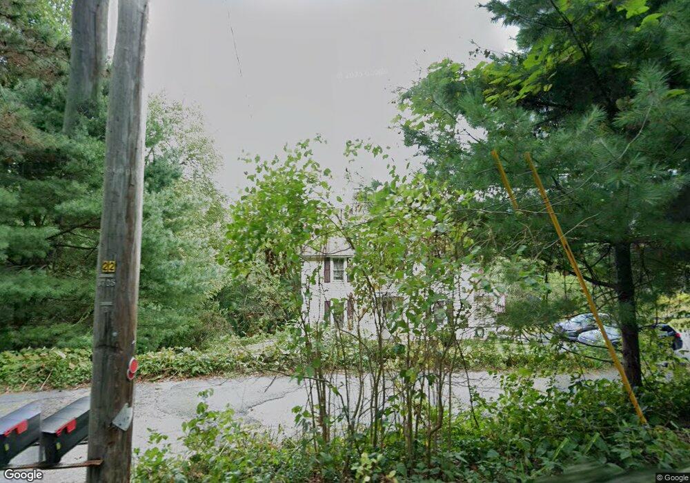
297 Sunnyhill Rd Lunenburg, MA 01462
Estimated Value: $555,145 - $626,000
3
Beds
3
Baths
2,048
Sq Ft
$293/Sq Ft
Est. Value
About This Home
This home is located at 297 Sunnyhill Rd, Lunenburg, MA 01462 and is currently estimated at $600,036, approximately $292 per square foot. 297 Sunnyhill Rd is a home located in Worcester County with nearby schools including Lunenburg Primary School, Lunenburg High School, and St Bernards Elementary School.
Ownership History
Date
Name
Owned For
Owner Type
Purchase Details
Closed on
Dec 15, 1997
Sold by
Barney Lynn M
Bought by
Beverly David W and Beverly Anne M
Current Estimated Value
Purchase Details
Closed on
Mar 15, 1995
Sold by
Clifton Daniel M and Clifton Bonnie
Bought by
Barney Douglas D and Barney Lynn M
Create a Home Valuation Report for This Property
The Home Valuation Report is an in-depth analysis detailing your home's value as well as a comparison with similar homes in the area
Home Values in the Area
Average Home Value in this Area
Purchase History
| Date | Buyer | Sale Price | Title Company |
|---|---|---|---|
| Beverly David W | $161,000 | -- | |
| Barney Douglas D | $152,000 | -- |
Source: Public Records
Mortgage History
| Date | Status | Borrower | Loan Amount |
|---|---|---|---|
| Open | Barney Douglas D | $154,500 | |
| Closed | Barney Douglas D | $165,500 | |
| Closed | Barney Douglas D | $21,000 | |
| Closed | Barney Douglas D | $23,000 |
Source: Public Records
Tax History Compared to Growth
Tax History
| Year | Tax Paid | Tax Assessment Tax Assessment Total Assessment is a certain percentage of the fair market value that is determined by local assessors to be the total taxable value of land and additions on the property. | Land | Improvement |
|---|---|---|---|---|
| 2025 | $6,722 | $468,100 | $141,900 | $326,200 |
| 2024 | $6,204 | $440,000 | $134,000 | $306,000 |
| 2023 | $5,959 | $407,600 | $121,500 | $286,100 |
| 2022 | $5,671 | $329,900 | $101,400 | $228,500 |
| 2020 | $5,530 | $305,200 | $101,400 | $203,800 |
| 2019 | $5,277 | $282,500 | $95,600 | $186,900 |
| 2018 | $5,406 | $274,400 | $95,500 | $178,900 |
| 2017 | $5,085 | $254,500 | $90,500 | $164,000 |
| 2016 | $4,801 | $244,800 | $86,200 | $158,600 |
| 2015 | $4,325 | $236,100 | $81,800 | $154,300 |
Source: Public Records
Map
Nearby Homes
- 29 West St
- 9 Fairview Rd
- 200-365 Hollis Rd
- 6 Riley Rd Unit 6
- 452 Hollis Rd
- 31 School St
- 830 Massachusetts Ave
- 35 Leominster Rd
- 711 Massachusetts Ave Unit 2
- 77 Electric Ave
- 3 Chase Ave
- 1479 Main St
- 44 Hamlin St
- 319 Highland St
- 63 Holman St
- 70 Kilburn St
- 305 Pleasant St
- 15 White St
- 4 Lincoln St
- 3 Rennie St
- 321 Sunnyhill Rd
- 321 Sunny Hill Rd
- 317 Sunnyhill Rd
- 310 Sunnyhill Rd
- 260 Sunnyhill Rd
- 250 Sunnyhill Rd
- 280 Sunnyhill Rd
- 355 Sunny Hill Rd
- 324 Sunnyhill Rd
- 325 Sunnyhill Rd
- 255 Sunnyhill Rd
- 320 Sunnyhill Rd
- 245 Sunnyhill Rd
- 355 Sunnyhill Rd
- 165 West St
- 334 Sunnyhill Rd
- 231 West St
- 360 Sunnyhill Rd
- 365 Sunnyhill Rd
- 231 Sunnyhill Rd