297 SW 701st Rd Centerview, MO 64019
Estimated Value: $157,000
--
Bed
--
Bath
1,652
Sq Ft
$95/Sq Ft
Est. Value
About This Home
This home is located at 297 SW 701st Rd, Centerview, MO 64019 and is currently estimated at $157,000, approximately $95 per square foot. 297 SW 701st Rd is a home located in Johnson County with nearby schools including Crest Ridge Elementary School, Crest Ridge High School, and Johnson County Christian Academy.
Ownership History
Date
Name
Owned For
Owner Type
Purchase Details
Closed on
Jan 26, 2024
Sold by
Thomas Justin D and Thomas Christal L
Bought by
Thomas Caleb Robert
Current Estimated Value
Home Financials for this Owner
Home Financials are based on the most recent Mortgage that was taken out on this home.
Original Mortgage
$209,485
Outstanding Balance
$206,013
Interest Rate
6.95%
Mortgage Type
Credit Line Revolving
Estimated Equity
-$49,013
Purchase Details
Closed on
Mar 20, 2017
Sold by
Keener Barbara F
Bought by
Thomas Justin D and Thomas Christal L
Create a Home Valuation Report for This Property
The Home Valuation Report is an in-depth analysis detailing your home's value as well as a comparison with similar homes in the area
Home Values in the Area
Average Home Value in this Area
Purchase History
| Date | Buyer | Sale Price | Title Company |
|---|---|---|---|
| Thomas Caleb Robert | -- | Truman Title | |
| Thomas Justin D | -- | Wmtc |
Source: Public Records
Mortgage History
| Date | Status | Borrower | Loan Amount |
|---|---|---|---|
| Open | Thomas Caleb Robert | $209,485 |
Source: Public Records
Tax History Compared to Growth
Tax History
| Year | Tax Paid | Tax Assessment Tax Assessment Total Assessment is a certain percentage of the fair market value that is determined by local assessors to be the total taxable value of land and additions on the property. | Land | Improvement |
|---|---|---|---|---|
| 2024 | $2,289 | $2,601 | $0 | $0 |
| 2023 | $177 | $2,601 | $0 | $0 |
| 2022 | $172 | $2,508 | $0 | $0 |
| 2021 | $171 | $2,508 | $0 | $0 |
| 2020 | $166 | $2,415 | $0 | $0 |
| 2019 | $163 | $2,415 | $0 | $0 |
| 2017 | $157 | $2,415 | $0 | $0 |
| 2016 | $157 | $2,415 | $0 | $0 |
| 2015 | $155 | $2,415 | $0 | $0 |
| 2014 | $155 | $2,415 | $0 | $0 |
Source: Public Records
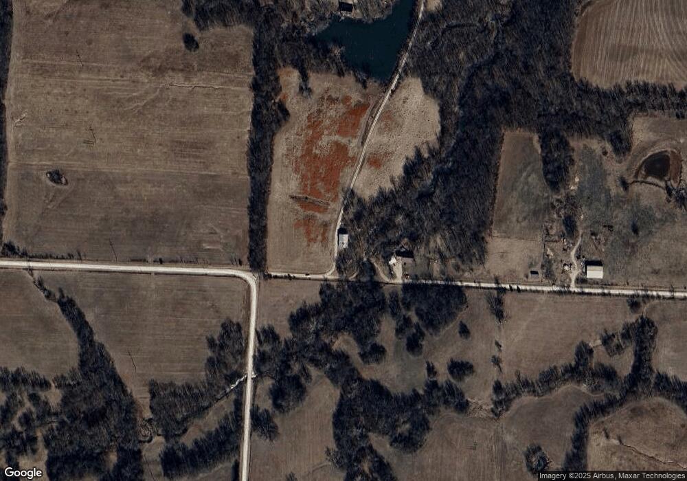
Map
Nearby Homes
- 342 SW 701st Rd
- 690 Missouri 58
- 690 SW 58th Hwy
- 65 SW 150th Rd
- 66 SW 150th Rd
- 475 SW 801st Rd
- 0 Rd
- 831 SW 500th Rd
- 0 Lot 2 Tbd 500 Rd
- 0 Lot 1 Tbd 500 Rd
- 0 Lot 5 Tbd 500 Rd
- 815 SW 520th Rd
- 231 SW 951st Rd
- 935 Missouri 58
- 0 Tbd Lot 5 491st Rd Unit HMS2496497
- 0 Tbd Lot 4 491st Rd Unit HMS2496522
- 0 Tbd Lot 2 491st Rd
- 141 SW County Road U
- 739 SW 700th Rd
- 501 NW 101st Rd
- 681 SW 300th Rd
- 299 SW 701st Rd
- 731 SW 300th Rd
- 540 SW 300th Rd
- 541 SW 300th Rd
- 347 SW 701st Rd
- 271 SW 751st Rd
- 252 SW 601st Rd
- 625 SW 300th Rd
- 266 SW 751st Rd
- 369 SW 701st Rd
- 654 SW 200th Rd
- 768 SW 300th Rd
- 620 SW 300th Rd
- 254 SW 601st Rd
- 316 SW 601st Rd
- 781 SW 300th Rd
- 680 SW 200th Rd
- 332 SW 601st Rd
- 239 SW 751st Rd