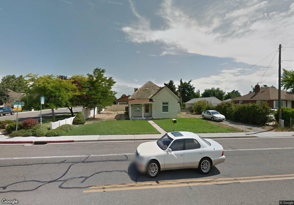
297 W 1600 N Orem, UT 84057
Windsor NeighborhoodEstimated Value: $411,086 - $482,000
3
Beds
1
Bath
1,197
Sq Ft
$364/Sq Ft
Est. Value
About This Home
This home is located at 297 W 1600 N, Orem, UT 84057 and is currently estimated at $435,695, approximately $363 per square foot. 297 W 1600 N is a home located in Utah County with nearby schools including Windsor School, Canyon View Junior High School, and Timpanogos High School.
Ownership History
Date
Name
Owned For
Owner Type
Purchase Details
Closed on
Aug 27, 2012
Sold by
Manookin Edward H and Manookin Yvonne C
Bought by
Tietjen Bruce and Tietjen Crystal
Current Estimated Value
Home Financials for this Owner
Home Financials are based on the most recent Mortgage that was taken out on this home.
Original Mortgage
$74,400
Outstanding Balance
$51,238
Interest Rate
3.47%
Mortgage Type
New Conventional
Estimated Equity
$384,457
Purchase Details
Closed on
Jun 18, 2009
Sold by
Manookin Edward H
Bought by
Manookin Edward H and Manookin Yvonne C
Purchase Details
Closed on
Feb 2, 1999
Sold by
Carlson Kenneth G and Carlson Jacqueline A
Bought by
Peterson John and Peterson Natalie
Home Financials for this Owner
Home Financials are based on the most recent Mortgage that was taken out on this home.
Original Mortgage
$220,000
Interest Rate
6.73%
Create a Home Valuation Report for This Property
The Home Valuation Report is an in-depth analysis detailing your home's value as well as a comparison with similar homes in the area
Home Values in the Area
Average Home Value in this Area
Purchase History
| Date | Buyer | Sale Price | Title Company |
|---|---|---|---|
| Tietjen Bruce | -- | Eagle Gate Title Ins Agency | |
| Manookin Edward H | -- | None Available | |
| Peterson John | $198,166 | -- |
Source: Public Records
Mortgage History
| Date | Status | Borrower | Loan Amount |
|---|---|---|---|
| Open | Tietjen Bruce | $74,400 | |
| Previous Owner | Peterson John | $220,000 |
Source: Public Records
Tax History
| Year | Tax Paid | Tax Assessment Tax Assessment Total Assessment is a certain percentage of the fair market value that is determined by local assessors to be the total taxable value of land and additions on the property. | Land | Improvement |
|---|---|---|---|---|
| 2025 | $1,450 | $181,610 | -- | -- |
| 2024 | $1,450 | $177,320 | $0 | $0 |
| 2023 | $1,345 | $176,770 | $0 | $0 |
| 2022 | $1,380 | $175,670 | $0 | $0 |
| 2021 | $1,121 | $216,100 | $133,400 | $82,700 |
| 2020 | $991 | $187,800 | $106,700 | $81,100 |
| 2019 | $899 | $177,200 | $106,700 | $70,500 |
| 2018 | $909 | $171,100 | $100,600 | $70,500 |
| 2017 | $759 | $76,560 | $0 | $0 |
| 2016 | $757 | $70,400 | $0 | $0 |
| 2015 | $788 | $69,300 | $0 | $0 |
| 2014 | $718 | $62,865 | $0 | $0 |
Source: Public Records
Map
Nearby Homes
- 1547 N 275 West St Unit 5
- 1461 N Amiron Way Unit D
- 1461 N Amiron Way Unit B
- 332 W Amiron Way Unit D
- 1545 N State St Unit 1
- 531 W 1350 N
- 582 W 1300 N
- 442 W 1950 North St
- 651 W 1800 N
- 545 W 1240 N
- 1111 N 150 W
- 1638 N 160 E
- 1636 N 160 E
- 686 W 1870 N Unit 12
- 193 E 1570 N
- 127 S 400 E
- 1405 N 770 W
- 538 W 1120 N
- 363 E 1395 N Unit 22
- 1371 N 330 E Unit 8
- 311 W 1600 N
- 1570 N 275 St W
- 1527 N 275 St W Unit 4
- 1529 N 275 St W Unit 4
- 1556 N 275 St W Unit 5
- 1542 N 275 St W Unit 5
- 1531 N 275 St W Unit 3
- 1543 N 275 St W Unit 2
- 1557 N 275 St W Unit 1
- 1557 N 275 St W
- 1573 N 275 W
- 1572 N 275 W
- 1611 N 280 W
- 273 W 1600 N
- 1576 N 325 W
- 1588 N 325 W
- 308 W 1600 N
- 276 W 1600 N
- 1623 N 280 W
- 278 W 1600 N
Your Personal Tour Guide
Ask me questions while you tour the home.