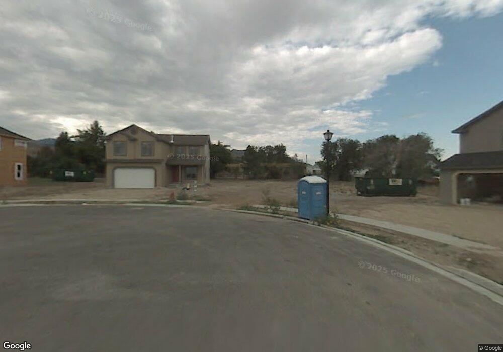
297 W 230 N Tooele, UT 84074
Estimated Value: $405,000 - $525,000
--
Bed
--
Bath
2,406
Sq Ft
$184/Sq Ft
Est. Value
About This Home
This home is located at 297 W 230 N, Tooele, UT 84074 and is currently estimated at $443,136, approximately $184 per square foot. 297 W 230 N is a home located in Tooele County with nearby schools including Northlake Elementary School, Tooele Junior High School, and Tooele High School.
Ownership History
Date
Name
Owned For
Owner Type
Purchase Details
Closed on
Sep 18, 2007
Sold by
Sundance Homes Llc
Bought by
Child David Benjamin and Child Bethany Ann
Current Estimated Value
Home Financials for this Owner
Home Financials are based on the most recent Mortgage that was taken out on this home.
Original Mortgage
$239,848
Outstanding Balance
$151,855
Interest Rate
6.57%
Mortgage Type
New Conventional
Estimated Equity
$291,281
Purchase Details
Closed on
Mar 29, 2007
Sold by
Tooele Lote Llc
Bought by
Sundance Homes Llc
Home Financials for this Owner
Home Financials are based on the most recent Mortgage that was taken out on this home.
Original Mortgage
$5,000,000
Interest Rate
6.29%
Mortgage Type
Construction
Create a Home Valuation Report for This Property
The Home Valuation Report is an in-depth analysis detailing your home's value as well as a comparison with similar homes in the area
Home Values in the Area
Average Home Value in this Area
Purchase History
| Date | Buyer | Sale Price | Title Company |
|---|---|---|---|
| Child David Benjamin | -- | Surherland Title Company | |
| Sundance Homes Llc | -- | Sutherland Title Co |
Source: Public Records
Mortgage History
| Date | Status | Borrower | Loan Amount |
|---|---|---|---|
| Open | Child David Benjamin | $239,848 | |
| Previous Owner | Sundance Homes Llc | $5,000,000 |
Source: Public Records
Tax History Compared to Growth
Tax History
| Year | Tax Paid | Tax Assessment Tax Assessment Total Assessment is a certain percentage of the fair market value that is determined by local assessors to be the total taxable value of land and additions on the property. | Land | Improvement |
|---|---|---|---|---|
| 2025 | $2,501 | $208,646 | $62,563 | $146,083 |
| 2024 | $2,538 | $193,709 | $62,563 | $131,146 |
| 2023 | $2,538 | $213,800 | $59,568 | $154,232 |
| 2022 | $2,792 | $240,213 | $71,858 | $168,355 |
| 2021 | $2,168 | $156,006 | $24,166 | $131,840 |
| 2020 | $2,067 | $257,964 | $43,938 | $214,026 |
| 2019 | $2,018 | $247,772 | $43,938 | $203,834 |
| 2018 | $1,870 | $217,741 | $45,000 | $172,741 |
| 2017 | $1,659 | $229,220 | $37,500 | $191,720 |
| 2016 | $1,365 | $112,317 | $20,625 | $91,692 |
| 2015 | $1,365 | $99,278 | $0 | $0 |
| 2014 | -- | $99,278 | $0 | $0 |
Source: Public Records
Map
Nearby Homes
- 225 230 N
- 225 N 200 W
- 307 N 200 W
- 165 N 200 W
- 180 W Utah Ave
- 152 N 200 W
- 138 W Utah Ave
- 416 N 340 W
- 370 N 100 W
- 524 N 200 W
- 16 N 100 W
- 453 W Vine St
- 352 W 600 N Unit 44
- 362 W 600 N Unit 43
- 372 W 600 N Unit 42
- 264 International Ave
- Snowbird Plan at Vista Meadows
- Sundance Plan at Vista Meadows
- Brighton Plan at Vista Meadows
- Solitude Plan at Vista Meadows
- 301 W 230 N
- 287 W 230 N
- 286 W Utah Ave
- 330 W Utah Ave
- 277 W 230 N
- 277 W 230 N Unit 13
- 227 N 300 W Unit 9
- 227 N 300 W
- 267 W 230 N Unit 14
- 267 W 230 N
- 231 N 300 W
- 231 N 300 W Unit 8
- 342 W Utah Ave
- 234 N 300 W Unit 30
- 282 W Utah Ave
- 282 W Utah Ave Unit 1
- 257 W 230 N
- 346 W Utah Ave
- 235 N 300 W
- 235 N 300 W Unit 7