Estimated Value: $600,000 - $719,000
3
Beds
2
Baths
1,348
Sq Ft
$478/Sq Ft
Est. Value
About This Home
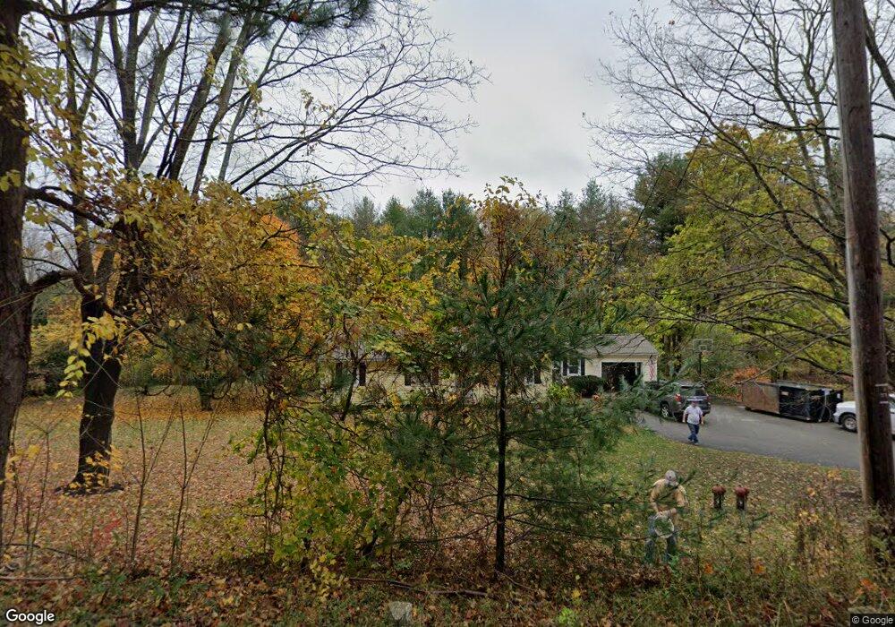
This home is located at 297 W Acton Rd, Stow, MA 01775 and is currently estimated at $644,217, approximately $477 per square foot. 297 W Acton Rd is a home located in Middlesex County with nearby schools including Center School, Hale Middle School, and Nashoba Regional High School.
Ownership History
Date
Name
Owned For
Owner Type
Purchase Details
Closed on
Oct 27, 2017
Sold by
Gregg James F and Gregg Kimberly S
Bought by
Gregg Kimberly S
Current Estimated Value
Purchase Details
Closed on
May 20, 2004
Sold by
Ames Frank H and Ames Marjorie R
Bought by
Gregg James F and Gregg Kimberly S
Home Financials for this Owner
Home Financials are based on the most recent Mortgage that was taken out on this home.
Original Mortgage
$302,400
Interest Rate
5.75%
Mortgage Type
Purchase Money Mortgage
Purchase Details
Closed on
Mar 15, 1994
Sold by
Taranto Donald and Taranto Deborah A
Bought by
Ames Frank H and Ames Marjorie R
Home Financials for this Owner
Home Financials are based on the most recent Mortgage that was taken out on this home.
Original Mortgage
$35,000
Interest Rate
6.93%
Mortgage Type
Purchase Money Mortgage
Create a Home Valuation Report for This Property
The Home Valuation Report is an in-depth analysis detailing your home's value as well as a comparison with similar homes in the area
Home Values in the Area
Average Home Value in this Area
Purchase History
| Date | Buyer | Sale Price | Title Company |
|---|---|---|---|
| Gregg Kimberly S | -- | -- | |
| Gregg James F | $378,000 | -- | |
| Ames Frank H | $170,047 | -- |
Source: Public Records
Mortgage History
| Date | Status | Borrower | Loan Amount |
|---|---|---|---|
| Previous Owner | Gregg James F | $302,400 | |
| Previous Owner | Ames Frank H | $61,600 | |
| Previous Owner | Ames Frank H | $40,000 | |
| Previous Owner | Ames Frank H | $35,000 | |
| Previous Owner | Ames Frank H | $30,000 |
Source: Public Records
Tax History Compared to Growth
Tax History
| Year | Tax Paid | Tax Assessment Tax Assessment Total Assessment is a certain percentage of the fair market value that is determined by local assessors to be the total taxable value of land and additions on the property. | Land | Improvement |
|---|---|---|---|---|
| 2025 | $9,170 | $526,400 | $325,100 | $201,300 |
| 2024 | $9,617 | $566,700 | $313,500 | $253,200 |
| 2023 | $8,940 | $493,100 | $299,300 | $193,800 |
| 2022 | $8,816 | $450,700 | $249,400 | $201,300 |
| 2021 | $8,324 | $416,600 | $249,400 | $167,200 |
| 2020 | $8,164 | $396,100 | $226,200 | $169,900 |
| 2019 | $7,599 | $377,500 | $226,200 | $151,300 |
| 2018 | $7,723 | $368,100 | $226,200 | $141,900 |
| 2017 | $7,447 | $361,700 | $212,800 | $148,900 |
| 2016 | $7,235 | $362,100 | $212,800 | $149,300 |
| 2015 | $6,028 | $301,700 | $193,500 | $108,200 |
Source: Public Records
Map
Nearby Homes
- 3 Heather Hill Rd
- 12 Olde Lantern Rd
- 90 Willow St Unit 1
- 92 Willow St Unit 3
- 92 Willow St Unit 2
- 207 Boxboro Rd
- 30-6 Taylor Rd
- 4,7,8 Crestwood Ln
- 89 Windsor Ave
- 85 Red Acre Rd
- 34 Meeting House Ln Unit 208
- 96 Cedarwood Rd
- 12 Patti Ln
- 12 Nick Ln
- 260 Great Rd
- 15 Crescent St
- 285 Central St Unit 285
- 68 Macintosh Ln
- 134 Russet Ln
- 6 Durant Ave
- 292 W Acton Rd
- 303 W Acton Rd
- 304 W Acton Rd
- 279 W Acton Rd
- 310 W Acton Rd
- 280 W Acton Rd
- 289 W Acton Rd
- 315 W Acton Rd
- 271 W Acton Rd
- 324 W Acton Rd
- 265 W Acton Rd
- 274 W Acton Rd
- 312 W Acton Rd
- 314 W Acton Rd
- 3 Canterbury Rd
- 7 Canterbury Rd
- 15 Canterbury Rd
- 320 W Acton Rd
- 255 W Acton Rd
- 253 W Acton Rd