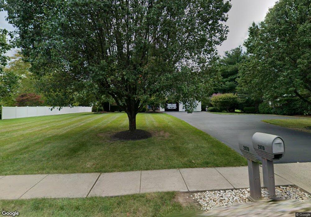
2970 Cowpath Rd Hatfield, PA 19440
Estimated Value: $423,000 - $485,183
3
Beds
3
Baths
1,560
Sq Ft
$291/Sq Ft
Est. Value
About This Home
This home is located at 2970 Cowpath Rd, Hatfield, PA 19440 and is currently estimated at $453,296, approximately $290 per square foot. 2970 Cowpath Rd is a home located in Montgomery County with nearby schools including Hatfield Elementary School, Pennfield Middle School, and North Penn Senior High School.
Ownership History
Date
Name
Owned For
Owner Type
Purchase Details
Closed on
Nov 5, 2008
Sold by
Rutter Sharon A and Rutter Wayne
Bought by
Rutter Sharon A and Rutter Wayne
Current Estimated Value
Home Financials for this Owner
Home Financials are based on the most recent Mortgage that was taken out on this home.
Original Mortgage
$87,000
Outstanding Balance
$56,968
Interest Rate
6.03%
Estimated Equity
$396,328
Create a Home Valuation Report for This Property
The Home Valuation Report is an in-depth analysis detailing your home's value as well as a comparison with similar homes in the area
Home Values in the Area
Average Home Value in this Area
Purchase History
We collect this data history from publicly available records. To have your information removed, we recommend requesting removal directly through your county’s website.
| Date | Buyer | Sale Price | Title Company |
|---|---|---|---|
| Rutter Sharon A | -- | None Available |
Source: Public Records
Mortgage History
We collect this data history from publicly available records. To have your information removed, we recommend requesting removal directly through your county’s website.
| Date | Status | Borrower | Loan Amount |
|---|---|---|---|
| Open | Rutter Sharon A | $87,000 |
Source: Public Records
Tax History
| Year | Tax Paid | Tax Assessment Tax Assessment Total Assessment is a certain percentage of the fair market value that is determined by local assessors to be the total taxable value of land and additions on the property. | Land | Improvement |
|---|---|---|---|---|
| 2025 | $5,944 | $148,450 | -- | -- |
| 2024 | $5,944 | $148,450 | -- | -- |
| 2023 | $5,689 | $148,450 | $0 | $0 |
| 2022 | $5,503 | $148,450 | $0 | $0 |
| 2021 | $5,347 | $148,450 | $0 | $0 |
| 2020 | $5,220 | $148,450 | $0 | $0 |
| 2019 | $5,133 | $148,450 | $0 | $0 |
Source: Public Records
Map
Nearby Homes
- 2721 Cowpath Rd
- 22 Holiday Ave
- 3131 Cowpath Rd
- 1949 Overbrook Rd
- 14 Cowpath Rd
- 700 Alexander Dr
- 3166 Arbour Green Ct
- 2821 N Ford Dr
- 1212 Wright St
- 2719 Supplee Cir
- 256 Larkspur Ln Unit 39B
- 1038 Arthur Dr
- 109 Hickory Dr
- 327 Melbourne Way
- 29 W Vine St
- 383 Brittany Ct
- 708 Finlay Dr
- 1106 Hill St
- 306 Sherwood Ct N
- 1717 Lisa Ct
- 2948 Cowpath Rd
- 1825 Bergey Rd
- 1751 Lynrose Cir
- 1821 Bergey Rd
- 2930 Cowpath Rd
- 2935 Cowpath Rd
- 2003 Bergey Rd
- 2933 Cowpath Rd
- 2931 Cowpath Rd
- 2941 Cowpath Rd
- 2929 Cowpath Rd
- 2011 Bergey Rd
- 2927 Cowpath Rd
- 1711 Lynrose Cir
- 1761 Lynrose Cir
- 1560 Lynrose Cir
- 1801 Bergey Rd
- 2910 Cowpath Rd
- 2925 Cowpath Rd
- 2019 Bergey Rd
Your Personal Tour Guide
Ask me questions while you tour the home.