2970 Highway 92 Unit 2964 Enoree, SC 29335
Estimated Value: $130,783 - $289,000
3
Beds
1
Bath
1,868
Sq Ft
$104/Sq Ft
Est. Value
About This Home
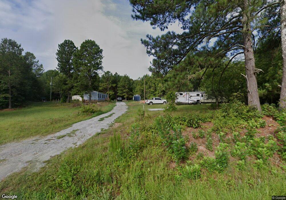
This home is located at 2970 Highway 92 Unit 2964, Enoree, SC 29335 and is currently estimated at $193,696, approximately $103 per square foot. 2970 Highway 92 Unit 2964 is a home located in Spartanburg County with nearby schools including Woodruff Primary School, Woodruff Elementary School, and Woodruff Middle School.
Ownership History
Date
Name
Owned For
Owner Type
Purchase Details
Closed on
Jul 31, 2022
Sold by
Lawson Messer Pearl
Bought by
Tucker Maxine and Owens Donald
Current Estimated Value
Purchase Details
Closed on
Jun 7, 2022
Sold by
Messer Gossett Judy
Bought by
Brewster Jake
Purchase Details
Closed on
Dec 13, 2004
Sold by
Tucker Maxine
Bought by
Tucker Maxine
Create a Home Valuation Report for This Property
The Home Valuation Report is an in-depth analysis detailing your home's value as well as a comparison with similar homes in the area
Purchase History
| Date | Buyer | Sale Price | Title Company |
|---|---|---|---|
| Tucker Maxine | $5,769 | None Listed On Document | |
| Brewster Jake | -- | None Listed On Document | |
| Tucker Maxine | -- | -- |
Source: Public Records
Tax History
| Year | Tax Paid | Tax Assessment Tax Assessment Total Assessment is a certain percentage of the fair market value that is determined by local assessors to be the total taxable value of land and additions on the property. | Land | Improvement |
|---|---|---|---|---|
| 2025 | $588 | $1,428 | $1,128 | $300 |
| 2024 | $588 | $1,428 | $1,128 | $300 |
| 2023 | $588 | $1,824 | $1,524 | $300 |
| 2022 | $790 | $2,064 | $1,134 | $930 |
| 2021 | $215 | $1,376 | $756 | $620 |
| 2020 | $194 | $1,376 | $756 | $620 |
| 2019 | $197 | $1,376 | $756 | $620 |
| 2018 | $57 | $1,376 | $756 | $620 |
| 2017 | $57 | $1,312 | $748 | $564 |
| 2016 | $57 | $1,312 | $748 | $564 |
| 2015 | $363 | $2,830 | $657 | $2,173 |
| 2014 | $359 | $2,830 | $657 | $2,173 |
Source: Public Records
Map
Nearby Homes
- 00 Ball Park Rd
- 0 Watson Rd Unit 1582740
- 0 Watson Rd Unit SPN333926
- 3465 Highway 92
- 3465 S Carolina 92
- 00 S 114
- 0 S 256
- 00 Frontier Rd
- 700 Hadley Place
- 491 Adhurst Dr Unit AA 60 Inlet B
- 708 Hadley Place
- 700 Hadley Place Unit AA 70 Dawson D
- 491 Adhurst Dr
- 717 Adhurst Dr
- 389 Timberidge Rd Unit AA 33 Inlet C
- 389 Timberidge Rd
- 495 Adhurst Dr Unit AA 61 Davenport C
- 708 Hadley Place Unit AA 68 Inlet B
- 709 Adhurst Dr
- 495 Adhurst Dr
- 2990 S Carolina 92
- 2990 Highway 92
- 2990 Highway 92
- 2950 Highway 92
- 2949 Highway 92
- 2951 Highway 92
- 2971 Highway 92
- 3011 Highway 92
- 2960 Highway 92
- 0 S Carolina 92
- 2721 Highway 92
- 00 Highway 92
- 750 Sumner Rd
- 3111 Highway 92
- 2621 Highway 92
- 2610 Highway 92
- 0 Ridge Rd Unit 209177
- 0 Ridge Rd Unit 213768
- 0 Ridge Rd Unit 216804
- 0 Ridge Rd Unit 222988
Your Personal Tour Guide
Ask me questions while you tour the home.