2970 Rolling Hills Rd Morven, GA 31638
Estimated Value: $164,000
3
Beds
3
Baths
1,991
Sq Ft
$82/Sq Ft
Est. Value
About This Home
This home is located at 2970 Rolling Hills Rd, Morven, GA 31638 and is currently priced at $164,000, approximately $82 per square foot. 2970 Rolling Hills Rd is a home located in Brooks County with nearby schools including North Brooks Elementary School.
Ownership History
Date
Name
Owned For
Owner Type
Purchase Details
Closed on
Mar 19, 1999
Sold by
Phillips James W
Bought by
Wetherington Farms L P B G
Current Estimated Value
Purchase Details
Closed on
Feb 22, 1999
Sold by
Browning Katrelle M
Bought by
Phillips James W
Purchase Details
Closed on
Jun 19, 1992
Sold by
Williams Grady W and Doyle Weltbarker
Bought by
Browning Katrelle M
Purchase Details
Closed on
Jun 20, 1991
Sold by
Browing Henry A and Browing Clamon A
Bought by
Williams Grady W and Doyle Weltzbark
Purchase Details
Closed on
Dec 23, 1983
Sold by
Bullard Calvin F
Bought by
Browing Henry A and Browing Clamon A
Create a Home Valuation Report for This Property
The Home Valuation Report is an in-depth analysis detailing your home's value as well as a comparison with similar homes in the area
Home Values in the Area
Average Home Value in this Area
Purchase History
| Date | Buyer | Sale Price | Title Company |
|---|---|---|---|
| Wetherington Farms L P B G | $805,000 | -- | |
| Phillips James W | $741,900 | -- | |
| Browning Katrelle M | $138,700 | -- | |
| Williams Grady W | $122,900 | -- | |
| Browing Henry A | $318,000 | -- |
Source: Public Records
Tax History Compared to Growth
Tax History
| Year | Tax Paid | Tax Assessment Tax Assessment Total Assessment is a certain percentage of the fair market value that is determined by local assessors to be the total taxable value of land and additions on the property. | Land | Improvement |
|---|---|---|---|---|
| 2025 | $4,431 | $715,360 | $709,440 | $5,920 |
| 2024 | $4,431 | $715,360 | $709,440 | $5,920 |
| 2023 | $4,310 | $630,160 | $624,200 | $5,960 |
| 2022 | $22,808 | $802,160 | $722,760 | $79,400 |
| 2021 | $20,679 | $715,920 | $650,240 | $65,680 |
| 2020 | $19,887 | $716,080 | $650,240 | $65,840 |
| 2019 | $17,333 | $601,560 | $545,040 | $56,520 |
| 2018 | $17,790 | $609,136 | $552,440 | $56,696 |
| 2017 | $17,722 | $598,920 | $549,480 | $49,440 |
| 2016 | $17,636 | $598,920 | $549,480 | $49,440 |
| 2015 | -- | $599,080 | $549,480 | $49,600 |
| 2014 | -- | $600,920 | $549,480 | $51,440 |
| 2013 | -- | $611,480 | $549,480 | $62,000 |
Source: Public Records
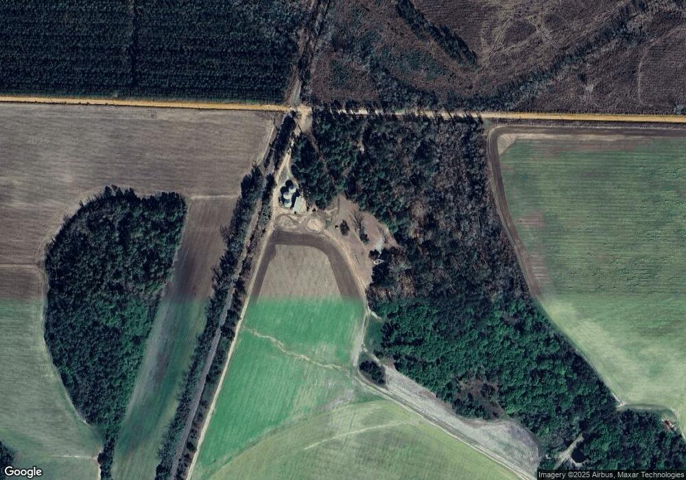
Map
Nearby Homes
- 85 Hitch St
- 237 Turkey Ridge Ln
- 11439 Adel Hwy
- 165 Fletcher St
- 4386 Studstill Rd
- 1440 Peach Rd
- 51 Green Lake Cir
- 17 Green Lake Cir
- 471 Jamar Trail
- 295 Sunflower
- 288 Jamar Trail
- 270 Jamar Trail
- 248 Jamar Trail
- 103 Victorian Way
- 714 Morris Ave
- 6211 Hardee Dr
- 1002 N Madison St
- 621 N Court St
- 304 W Rountree St
- 606 N Court St