2970 W Burning Tree Dr Williams, AZ 86046
Estimated Value: $750,022 - $956,000
--
Bed
--
Bath
--
Sq Ft
0.36
Acres
About This Home
This home is located at 2970 W Burning Tree Dr, Williams, AZ 86046 and is currently estimated at $814,006. 2970 W Burning Tree Dr is a home with nearby schools including Williams Elementary/Middle School and Williams High School.
Ownership History
Date
Name
Owned For
Owner Type
Purchase Details
Closed on
Dec 6, 2021
Sold by
Pabst David and Pabst Debora
Bought by
Lewis John and Lewis Autumn
Current Estimated Value
Home Financials for this Owner
Home Financials are based on the most recent Mortgage that was taken out on this home.
Original Mortgage
$462,315
Outstanding Balance
$424,217
Interest Rate
3.09%
Mortgage Type
New Conventional
Estimated Equity
$389,789
Purchase Details
Closed on
Jun 1, 2021
Sold by
Demaret Family Limited Partnership
Bought by
Pabst David and Pabst Debora
Purchase Details
Closed on
Dec 28, 2012
Sold by
Gilbert Jacqueline L
Bought by
Demaret Family Limited Partnership
Purchase Details
Closed on
Sep 6, 2001
Sold by
Transnation Title Insurance Company
Bought by
Gilbert Jacqueline L
Create a Home Valuation Report for This Property
The Home Valuation Report is an in-depth analysis detailing your home's value as well as a comparison with similar homes in the area
Home Values in the Area
Average Home Value in this Area
Purchase History
| Date | Buyer | Sale Price | Title Company |
|---|---|---|---|
| Lewis John | $616,420 | Pioneer Title | |
| Pabst David | $85,000 | Pioneer Title Agency Inc | |
| Demaret Family Limited Partnership | -- | None Available | |
| Gilbert Jacqueline L | $65,000 | Transnation Title Insurance |
Source: Public Records
Mortgage History
| Date | Status | Borrower | Loan Amount |
|---|---|---|---|
| Open | Lewis John | $462,315 |
Source: Public Records
Tax History Compared to Growth
Tax History
| Year | Tax Paid | Tax Assessment Tax Assessment Total Assessment is a certain percentage of the fair market value that is determined by local assessors to be the total taxable value of land and additions on the property. | Land | Improvement |
|---|---|---|---|---|
| 2025 | $2,270 | $57,879 | -- | -- |
| 2024 | $2,270 | $60,936 | -- | -- |
| 2023 | $590 | $11,983 | $0 | $0 |
| 2022 | $590 | $10,894 | $0 | $0 |
| 2021 | $569 | $9,078 | $0 | $0 |
| 2020 | $557 | $8,561 | $0 | $0 |
| 2019 | $541 | $8,561 | $0 | $0 |
| 2018 | $524 | $9,008 | $0 | $0 |
| 2017 | $513 | $6,350 | $0 | $0 |
| 2016 | $485 | $6,771 | $0 | $0 |
| 2015 | $499 | $7,936 | $0 | $0 |
Source: Public Records
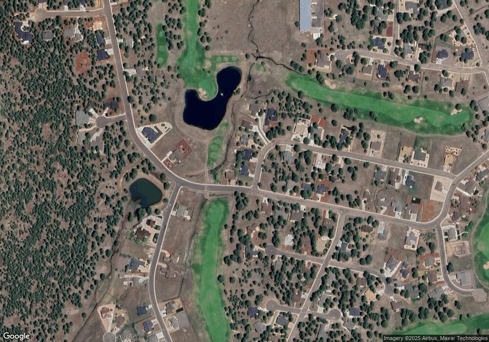
Map
Nearby Homes
- 2916 W Highland Meadows Dr
- 2897 W Highland Meadows Dr
- 2868 W Highland Meadows Dr
- 2872 W Saint Andrews
- 827 S Torrey Pines Dr
- 2921 W Castle Pines Dr
- 938 Torrey Pines Dr
- 468 S Piping Rock Dr
- 2744 S Augusta Dr
- 2830 W Highland Meadows Dr Unit 115
- 2712 W Highland Meadows Dr
- 620 Brookline Loop
- 538 S Highland Meadows Dr Unit 247,63
- 111 S Highland Meadows Dr
- 603 W Brookline Loop
- 1843 Country Club Rd
- 2805 Bogey Dr
- 2811 Bogey Dr
- 1039 Timbernook Crossing
- Tbd
- 2984 W Highland Meadows Dr
- 2962 W Burning Tree Dr
- 2965 W Burning Tree Dr
- 2965 W Burning Tree Dr Unit 97
- 2954 W Burning Tree Dr
- 2967 W Highland Meadows Dr
- 2967 W Highland Meadows Dr Unit 120
- 2942 W Burning Tree Dr
- 2910 W Burning Tree Lot 89 Dr
- 2933 W Highland Meadows Dr
- 2925 W Burning Tree Dr
- 2925 W Burning Tree Dr Unit 99
- 2929 W Highland Meadows Dr
- 657 S Highland Meadows Dr
- 657 S Highland Meadows Dr Unit 320
- 2938 W St Andrews
- 2934 W Burning Tree Dr
- 2884 W Highland Meadows Dr
- 0 Lot 167 Highland Meadows Unit 143094
- 639 S Highland Meadows Dr