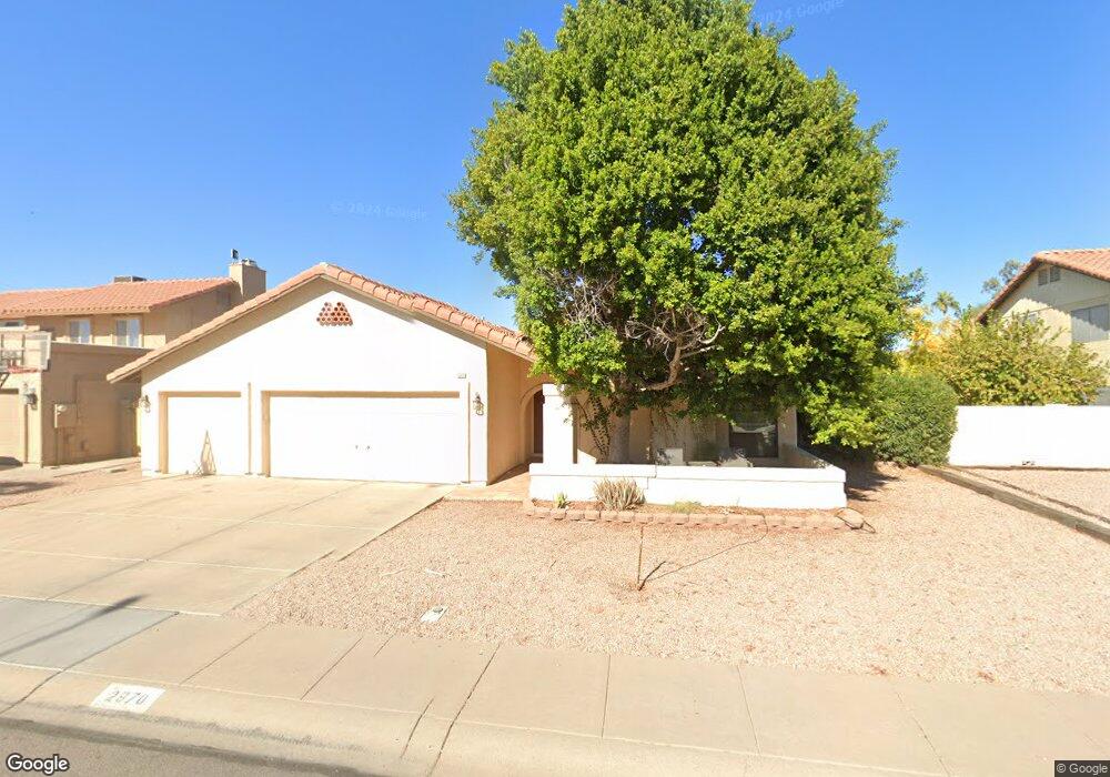
2970 W Comstock Dr Chandler, AZ 85224
Central Ridge NeighborhoodEstimated Value: $450,066 - $581,000
--
Bed
2
Baths
1,833
Sq Ft
$288/Sq Ft
Est. Value
About This Home
This home is located at 2970 W Comstock Dr, Chandler, AZ 85224 and is currently estimated at $528,767, approximately $288 per square foot. 2970 W Comstock Dr is a home located in Maricopa County with nearby schools including Pomeroy Elementary School, Franklin at Brimhall Elementary School, and Franklin Accelerated Academy Jordan Campus.
Ownership History
Date
Name
Owned For
Owner Type
Purchase Details
Closed on
Mar 28, 2001
Sold by
Carpenter Kevin L and Carpenter Dawn M
Bought by
Benediktsson Baldur and Olafsdottir Kristin
Current Estimated Value
Home Financials for this Owner
Home Financials are based on the most recent Mortgage that was taken out on this home.
Original Mortgage
$138,400
Outstanding Balance
$50,868
Interest Rate
6.98%
Mortgage Type
New Conventional
Estimated Equity
$477,899
Create a Home Valuation Report for This Property
The Home Valuation Report is an in-depth analysis detailing your home's value as well as a comparison with similar homes in the area
Home Values in the Area
Average Home Value in this Area
Purchase History
| Date | Buyer | Sale Price | Title Company |
|---|---|---|---|
| Benediktsson Baldur | $173,000 | Capital Title Agency |
Source: Public Records
Mortgage History
| Date | Status | Borrower | Loan Amount |
|---|---|---|---|
| Open | Benediktsson Baldur | $138,400 | |
| Closed | Benediktsson Baldur | $25,900 |
Source: Public Records
Tax History Compared to Growth
Tax History
| Year | Tax Paid | Tax Assessment Tax Assessment Total Assessment is a certain percentage of the fair market value that is determined by local assessors to be the total taxable value of land and additions on the property. | Land | Improvement |
|---|---|---|---|---|
| 2025 | $1,999 | $23,442 | -- | -- |
| 2024 | $2,018 | $22,326 | -- | -- |
| 2023 | $2,018 | $39,370 | $7,870 | $31,500 |
| 2022 | $1,963 | $29,780 | $5,950 | $23,830 |
| 2021 | $1,974 | $28,300 | $5,660 | $22,640 |
| 2020 | $1,952 | $26,220 | $5,240 | $20,980 |
| 2019 | $1,797 | $25,760 | $5,150 | $20,610 |
| 2018 | $1,746 | $24,320 | $4,860 | $19,460 |
| 2017 | $1,678 | $21,950 | $4,390 | $17,560 |
| 2016 | $1,642 | $21,750 | $4,350 | $17,400 |
| 2015 | $1,545 | $19,850 | $3,970 | $15,880 |
Source: Public Records
Map
Nearby Homes
- 2727 N Price Rd Unit 50
- 2727 N Price Rd Unit 57
- 2727 N Price Rd Unit 28
- 2811 W Rosewood Dr
- 2674 N El Dorado Dr
- 2337 W Cheyenne Dr
- 1975 E Sunburst Ln
- 1978 E Stephens Dr
- 1938 E Brentrup Dr
- 2050 N 90th Place
- 1971 E Buena Vista Dr
- 2334 W Peralta Ave
- 2453 W Pecos Ave
- 1910 E Sunburst Ln
- 2029 W Shawnee Dr
- 2210 N Los Altos Dr
- 1861 E Krista Way
- 2014 W Summit Place
- 1943 E Diamond Dr
- 1938 E Calle de Caballos
- 2974 W Comstock Dr
- 2966 W Comstock Dr
- 2962 W Comstock Dr
- 2978 W Comstock Dr
- 2969 W Comstock Dr
- 2973 W Comstock Dr
- 2979 W Elliot Rd Unit 111
- 2965 W Comstock Dr
- 2977 W Comstock Dr
- 2995 W Elliot Rd Unit 107
- 2958 W Comstock Dr
- 2982 W Comstock Dr
- 2961 W Comstock Dr
- 2981 W Comstock Dr
- 2970 W Marlboro Dr
- 2974 W Marlboro Dr
- 2966 W Marlboro Dr
- 2957 W Comstock Dr
- 2978 N Benson Ln
- 2954 W Comstock Dr