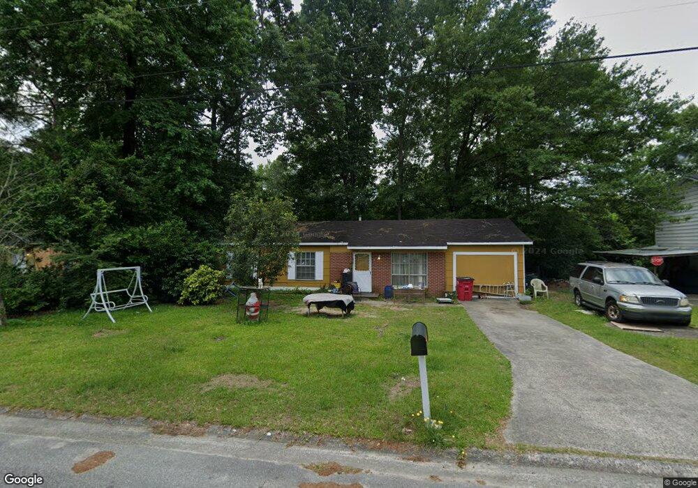
2970 Walmar Dr Macon, GA 31206
Estimated Value: $73,000 - $94,686
4
Beds
1
Bath
1,350
Sq Ft
$63/Sq Ft
Est. Value
About This Home
This home is located at 2970 Walmar Dr, Macon, GA 31206 and is currently estimated at $85,172, approximately $63 per square foot. 2970 Walmar Dr is a home located in Bibb County with nearby schools including Southfield Elementary School, Southwest High School, and Gilead Christian Academy.
Ownership History
Date
Name
Owned For
Owner Type
Purchase Details
Closed on
Jan 13, 2014
Sold by
Branch Banking And Trust Co
Bought by
Williams Clemmie
Current Estimated Value
Purchase Details
Closed on
Sep 10, 2013
Sold by
Bb & T
Bought by
Branch Banking And Trust Co
Purchase Details
Closed on
Jul 29, 2008
Sold by
Honeycutt Karla
Bought by
Ross Philip A
Purchase Details
Closed on
Jul 28, 2008
Sold by
Barfield Charles Cleveland
Bought by
Ross Philip A
Create a Home Valuation Report for This Property
The Home Valuation Report is an in-depth analysis detailing your home's value as well as a comparison with similar homes in the area
Purchase History
| Date | Buyer | Sale Price | Title Company |
|---|---|---|---|
| Williams Clemmie | $4,400 | None Available | |
| Branch Banking And Trust Co | $17,250 | None Available | |
| Ross Philip A | -- | None Available | |
| Ross Philip A | $14,000 | None Available | |
| Ross Philip A | -- | None Available | |
| Ross Philip A | -- | None Available | |
| Ross Philip A | -- | None Available |
Source: Public Records
Tax History
| Year | Tax Paid | Tax Assessment Tax Assessment Total Assessment is a certain percentage of the fair market value that is determined by local assessors to be the total taxable value of land and additions on the property. | Land | Improvement |
|---|---|---|---|---|
| 2025 | $465 | $25,941 | $2,332 | $23,609 |
| 2024 | $642 | $32,288 | $2,332 | $29,956 |
| 2023 | $668 | $29,551 | $2,120 | $27,431 |
| 2022 | $332 | $16,600 | $1,242 | $15,358 |
| 2021 | $262 | $13,896 | $1,118 | $12,778 |
| 2020 | $268 | $13,896 | $1,118 | $12,778 |
| 2019 | $544 | $13,896 | $1,118 | $12,778 |
| 2018 | $697 | $8,631 | $621 | $8,010 |
| 2017 | $361 | $9,624 | $621 | $9,003 |
| 2016 | $333 | $9,624 | $621 | $9,003 |
| 2015 | $86 | $9,624 | $621 | $9,003 |
| 2014 | $542 | $9,624 | $621 | $9,003 |
Source: Public Records
Map
Nearby Homes
- 2960 Jadan Place
- 2972 Richard Dr
- 3078 Alfred Dr
- 2824 Village Green Dr
- 2868 Shamrock Dr
- 2801 Deeb Dr
- 2844 Shamrock Ln
- 5711 Sterling Place
- 2775 Village Green Ln
- 2913 Alfred Dr
- 2768 Nancy Dr
- 2769 Nancy Dr
- 2918 Emerson Cir
- 2885 Virginia Dr
- 2732 Village Green Ln
- 2689 Village Green Ln
- 2970 Emerson Cir
- 5756 Satterfield Dr
- 2611 Village Green Ln
- 4496 Thrasher Cir
Your Personal Tour Guide
Ask me questions while you tour the home.