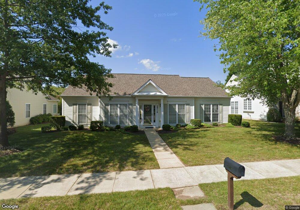
29716 Amandas Way Easton, MD 21601
Estimated Value: $443,680 - $475,000
--
Bed
2
Baths
1,878
Sq Ft
$245/Sq Ft
Est. Value
About This Home
This home is located at 29716 Amandas Way, Easton, MD 21601 and is currently estimated at $460,420, approximately $245 per square foot. 29716 Amandas Way is a home located in Talbot County with nearby schools including Easton Elementary School, Easton Middle School, and Easton High School.
Ownership History
Date
Name
Owned For
Owner Type
Purchase Details
Closed on
Jan 19, 2012
Sold by
Macklin Moses and Macklin Bonnette L
Bought by
Macklin Moses and Macklin Bonnette L
Current Estimated Value
Purchase Details
Closed on
Mar 6, 2006
Sold by
Macklin Moses and Macklin Bonnette L
Bought by
Macklin Moses and Macklin Bonnette L Trustees
Purchase Details
Closed on
Jan 21, 2006
Sold by
Macklin Moses and Macklin Bonnette L
Bought by
Macklin Moses and Macklin Bonnette L Trustees
Purchase Details
Closed on
Feb 9, 2004
Sold by
Lyons Lc
Bought by
Macklin Moses and Macklin Bonnette L
Create a Home Valuation Report for This Property
The Home Valuation Report is an in-depth analysis detailing your home's value as well as a comparison with similar homes in the area
Home Values in the Area
Average Home Value in this Area
Purchase History
| Date | Buyer | Sale Price | Title Company |
|---|---|---|---|
| Macklin Moses | -- | None Available | |
| Macklin Moses | -- | None Available | |
| Macklin Moses | -- | -- | |
| Macklin Moses | -- | -- | |
| Macklin Moses | $285,755 | -- |
Source: Public Records
Tax History Compared to Growth
Tax History
| Year | Tax Paid | Tax Assessment Tax Assessment Total Assessment is a certain percentage of the fair market value that is determined by local assessors to be the total taxable value of land and additions on the property. | Land | Improvement |
|---|---|---|---|---|
| 2025 | $1,920 | $367,133 | $0 | $0 |
| 2024 | $1,920 | $338,400 | $91,100 | $247,300 |
| 2023 | $1,797 | $327,500 | $0 | $0 |
| 2022 | $1,640 | $316,600 | $0 | $0 |
| 2021 | $1,515 | $305,700 | $105,300 | $200,400 |
| 2020 | $1,515 | $298,167 | $0 | $0 |
| 2019 | $1,506 | $290,633 | $0 | $0 |
| 2018 | $1,436 | $283,100 | $105,300 | $177,800 |
| 2017 | $1,345 | $276,333 | $0 | $0 |
| 2016 | $1,238 | $269,567 | $0 | $0 |
| 2015 | $1,062 | $262,800 | $0 | $0 |
| 2014 | $1,062 | $262,800 | $0 | $0 |
Source: Public Records
Map
Nearby Homes
- 7389 Karen Ave
- 29653 Lyons Dr
- 7453 Jeffreys Way
- 29748 Lyons Dr
- 7444 Jeffreys Way
- 29676 Janets Way
- 7400 Michael Ave
- 29770 Lyons Dr
- 29638 Janets Way
- 29728 Sullivan Dr
- 29606 Charles Dr
- 29678 Sullivan Dr
- 7371 Michael Ave
- 29830 Hillary Ave
- 29865 Hillary Ave
- 29744 Dustin Ave
- 29529 Dutchmans Ln
- 29595 Dutchmans Ln Unit 602
- 29768 Hillary Ave
- 7849 Ward Brothers Cir
- 29722 Amandas Way
- 29704 Amandas Way
- 7424 Kevin Ave
- 7397 Dale Ave
- 29736 Amandas Way
- 7398 Dale Ave
- 7431 Karen Ave
- 7428 Kevin Ave
- 7437 Karen Ave
- 7443 Karen Ave
- 7427 Karen Ave
- 7395 Dale Ave
- 29735 Amandas Way
- 29744 Amandas Way
- 7390 Dale Ave
- 7447 Karen Ave
- 7432 Kevin Ave
- 7419 Karen Ave
- 7427 Kevin Ave
- 7383 Dale Ave