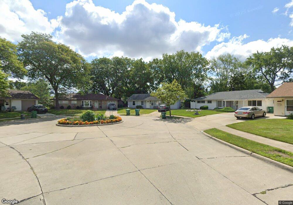
29717 Brandt Ct Unit Bldg-Unit Garden City, MI 48135
Estimated Value: $171,000 - $203,000
--
Bed
1
Bath
1,258
Sq Ft
$152/Sq Ft
Est. Value
About This Home
This home is located at 29717 Brandt Ct Unit Bldg-Unit, Garden City, MI 48135 and is currently estimated at $191,494, approximately $152 per square foot. 29717 Brandt Ct Unit Bldg-Unit is a home located in Wayne County with nearby schools including Memorial Elementary 1-2 Campus, Douglas Elementary 3-4 Campus, and Farmington 5-6 Campus.
Ownership History
Date
Name
Owned For
Owner Type
Purchase Details
Closed on
Jul 30, 2018
Sold by
Maycock Tracie M and Banfield Tracie
Bought by
Krous Jacob
Current Estimated Value
Purchase Details
Closed on
Mar 22, 2001
Sold by
Wiktor Cynthia J Pogue
Bought by
Maycock Tracie M
Purchase Details
Closed on
Aug 29, 1997
Sold by
Heff Tammy L and Heff William
Bought by
Wiktor Cynthia J Pogue
Create a Home Valuation Report for This Property
The Home Valuation Report is an in-depth analysis detailing your home's value as well as a comparison with similar homes in the area
Home Values in the Area
Average Home Value in this Area
Purchase History
| Date | Buyer | Sale Price | Title Company |
|---|---|---|---|
| Krous Jacob | $89,900 | None Available | |
| Maycock Tracie M | $95,000 | -- | |
| Wiktor Cynthia J Pogue | $68,500 | -- |
Source: Public Records
Tax History Compared to Growth
Tax History
| Year | Tax Paid | Tax Assessment Tax Assessment Total Assessment is a certain percentage of the fair market value that is determined by local assessors to be the total taxable value of land and additions on the property. | Land | Improvement |
|---|---|---|---|---|
| 2025 | $2,685 | $86,200 | $0 | $0 |
| 2024 | $2,685 | $80,000 | $0 | $0 |
| 2023 | $2,552 | $68,900 | $0 | $0 |
| 2022 | $2,859 | $55,600 | $0 | $0 |
| 2021 | $2,796 | $50,800 | $0 | $0 |
| 2020 | $2,805 | $50,200 | $0 | $0 |
| 2019 | $2,307 | $43,900 | $0 | $0 |
| 2018 | $1,765 | $36,100 | $0 | $0 |
| 2017 | $1,024 | $35,400 | $0 | $0 |
| 2016 | $2,230 | $34,500 | $0 | $0 |
| 2015 | $2,932 | $32,400 | $0 | $0 |
| 2013 | $2,840 | $29,600 | $0 | $0 |
| 2012 | $1,402 | $30,900 | $8,400 | $22,500 |
Source: Public Records
Map
Nearby Homes
- 577 Brandt St
- 29487 Florence St
- 489 Henry Ruff Rd
- 30414 Cherry Hill Rd
- 29031 Rosslyn Ave
- 1125 Brandt St
- 28999 Beechnut St
- 28783 Leona St
- 29643 Steinhauer St
- 29578 Brown Ct
- 30639 Florence St
- 29760 Birchwood St
- 29522 Grandview St
- 329 Shotka St
- 724 Clair St
- 30806 Fernwood St
- 28501 Leona St
- 30808 Sheridan St
- 29942 Avondale St
- 28930 Birchwood St
- 29717 Brandt Ct
- 29737 Brandt Ct
- 29701 Brandt Ct
- 365 Lytle Place
- 351 Lytle Place
- 379 Lytle Place
- 29751 Brandt Ct
- 337 Lytle Place
- 395 Lytle Place
- 29716 Brandt Ct
- 323 Lytle Place
- 405 Lytle Place
- 415 Lytle Place
- 378 Brandt St
- 431 Lytle Place
- 29730 Brandt Ct
- 344 Brandt St
- 29746 Brandt Ct
- 29766 Brandt Ct
- 451 Lytle Place