2972 County Road 2735 Moberly, MO 65270
Estimated Value: $272,000 - $532,269
5
Beds
4
Baths
2,928
Sq Ft
$136/Sq Ft
Est. Value
About This Home
This home is located at 2972 County Road 2735, Moberly, MO 65270 and is currently estimated at $397,756, approximately $135 per square foot. 2972 County Road 2735 is a home located in Randolph County with nearby schools including Moberly Senior High School.
Ownership History
Date
Name
Owned For
Owner Type
Purchase Details
Closed on
Jul 17, 2017
Sold by
Reese David P
Bought by
Martin Bridgett S and Martin Dennis K
Current Estimated Value
Purchase Details
Closed on
May 19, 2008
Sold by
Vanwye Curtis N and Vanwye Van Wye
Bought by
Martin Dennis K and Martin Bridgett S
Home Financials for this Owner
Home Financials are based on the most recent Mortgage that was taken out on this home.
Original Mortgage
$172,000
Interest Rate
5.42%
Mortgage Type
Purchase Money Mortgage
Create a Home Valuation Report for This Property
The Home Valuation Report is an in-depth analysis detailing your home's value as well as a comparison with similar homes in the area
Home Values in the Area
Average Home Value in this Area
Purchase History
| Date | Buyer | Sale Price | Title Company |
|---|---|---|---|
| Martin Bridgett S | -- | None Available | |
| Martin Dennis K | -- | -- |
Source: Public Records
Mortgage History
| Date | Status | Borrower | Loan Amount |
|---|---|---|---|
| Previous Owner | Martin Dennis K | $172,000 |
Source: Public Records
Tax History Compared to Growth
Tax History
| Year | Tax Paid | Tax Assessment Tax Assessment Total Assessment is a certain percentage of the fair market value that is determined by local assessors to be the total taxable value of land and additions on the property. | Land | Improvement |
|---|---|---|---|---|
| 2025 | $2,880 | $47,840 | $4,385 | $43,455 |
| 2024 | $2,880 | $44,830 | $3,969 | $40,861 |
| 2023 | $2,932 | $44,819 | $4,169 | $40,650 |
| 2022 | $2,733 | $42,550 | $4,166 | $38,384 |
| 2021 | $2,734 | $42,550 | $4,166 | $38,384 |
| 2020 | $2,734 | $42,550 | $4,166 | $38,384 |
| 2019 | $2,729 | $42,550 | $4,166 | $38,384 |
| 2018 | $2,704 | $42,310 | $4,198 | $38,112 |
| 2017 | $2,614 | $40,920 | $0 | $0 |
| 2016 | $2,455 | $38,700 | $0 | $0 |
| 2014 | -- | $34,980 | $0 | $0 |
| 2013 | -- | $34,980 | $0 | $0 |
| 2012 | -- | $34,980 | $0 | $0 |
Source: Public Records
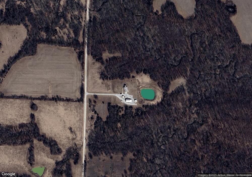
Map
Nearby Homes
- 2059 County Road 2730
- 2125 County Road 2730
- 0 County Road 2775
- 1806 County Road 2360
- 1198 County Road 2711
- 40 ACRES County Road 2360
- Lot 2 County Road 2605
- Tract 4 County Road 2605
- 1040 Private Rd
- 1040 Private Road 2628
- LOT 38 Cedar Slopes
- 0 10 Acres Cedar Ridge Unit 417498
- 2108 Vinny Ave
- 2109 Vinny Ave
- 2122 Vinny Ave
- 2105 Vinny Ave
- 0 S Ridge Subdivision Unit 413910
- 0 S Ridge Subdivision Unit 413909
- 0 S Ridge Subdivision Unit 413908
- 0 S Ridge Subdivision Unit 413906
- 3210 County Road 2735
- 3536 County Road 2750
- 2642 County Road 2735
- 3456 County Road 2735
- 3375 County Road 2750
- 2439 County Road 2735
- 3499 County Road 2735
- 3257 County Road 2750
- 1323 County Road 2734
- 3041 County Road 2750
- 1488 County Road 2734
- 3890 Highway Nn
- 1958 County Road 2735
- 3791 County Road 2735
- 1959 County Road 2735
- 3031 Highway Nn
- 0 County Road 2750
- 3411 Highway Nn
- 3407 Highway Nn