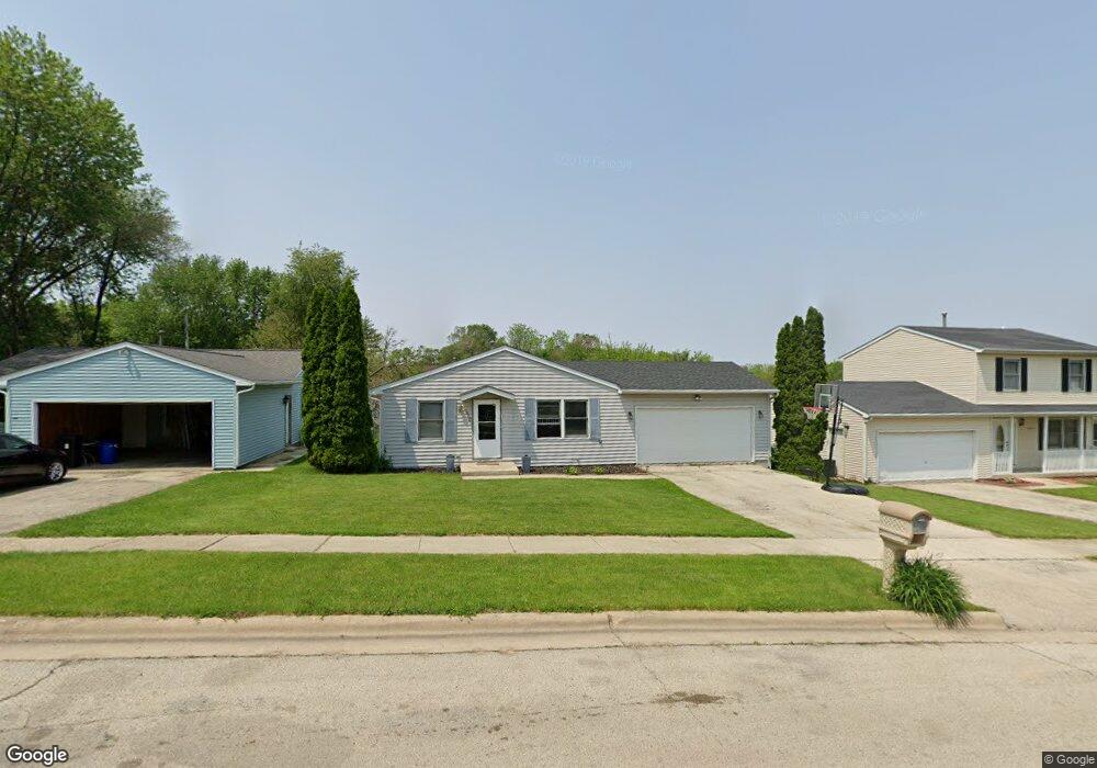
2973 17th St Rockford, IL 61109
Estimated Value: $111,000 - $192,000
3
Beds
1
Bath
1,120
Sq Ft
$138/Sq Ft
Est. Value
About This Home
This home is located at 2973 17th St, Rockford, IL 61109 and is currently estimated at $154,244, approximately $137 per square foot. 2973 17th St is a home located in Winnebago County with nearby schools including Riverdahl Elementary School, Rockford Environmental Science Academy, and Jefferson High School.
Ownership History
Date
Name
Owned For
Owner Type
Purchase Details
Closed on
Aug 30, 2019
Sold by
Willie Glenn
Bought by
Glenn Dietrich E
Current Estimated Value
Home Financials for this Owner
Home Financials are based on the most recent Mortgage that was taken out on this home.
Original Mortgage
$70,000
Outstanding Balance
$47,050
Interest Rate
4.13%
Mortgage Type
New Conventional
Estimated Equity
$107,194
Purchase Details
Closed on
Mar 26, 2018
Sold by
Galaxy Sites Llc
Bought by
Willie Glenn and Dietric Glenn
Create a Home Valuation Report for This Property
The Home Valuation Report is an in-depth analysis detailing your home's value as well as a comparison with similar homes in the area
Home Values in the Area
Average Home Value in this Area
Purchase History
| Date | Buyer | Sale Price | Title Company |
|---|---|---|---|
| Glenn Dietrich E | -- | Security First Title | |
| Willie Glenn | -- | City Suburban Abstract Co | |
| Glenn Willie | -- | None Listed On Document |
Source: Public Records
Mortgage History
| Date | Status | Borrower | Loan Amount |
|---|---|---|---|
| Open | Glenn Dietrich E | $70,000 |
Source: Public Records
Tax History Compared to Growth
Tax History
| Year | Tax Paid | Tax Assessment Tax Assessment Total Assessment is a certain percentage of the fair market value that is determined by local assessors to be the total taxable value of land and additions on the property. | Land | Improvement |
|---|---|---|---|---|
| 2024 | $3,563 | $37,601 | $2,786 | $34,815 |
| 2023 | $3,443 | $33,155 | $2,457 | $30,698 |
| 2022 | $0 | $29,634 | $2,196 | $27,438 |
| 2021 | $3,330 | $27,173 | $2,014 | $25,159 |
| 2020 | $3,303 | $25,688 | $1,904 | $23,784 |
| 2019 | $3,280 | $24,484 | $1,815 | $22,669 |
| 2018 | $3,508 | $24,500 | $1,711 | $22,789 |
| 2017 | $3,479 | $23,447 | $1,637 | $21,810 |
| 2016 | $3,475 | $23,007 | $1,606 | $21,401 |
| 2015 | $3,519 | $23,007 | $1,606 | $21,401 |
| 2014 | $3,605 | $24,232 | $2,008 | $22,224 |
Source: Public Records
Map
Nearby Homes
- 3002 Horton St
- 2140 Reed Ave
- 3128 16th St
- 2140/2144 Reed Ave Unit 2144 Reed Avenue
- 2816 20th St
- 1722 Pershing Ave
- 2213 Rexford Dr
- 2834 Hanson St
- 2610 18th St
- 2710 Hanson St
- 29xx Kinsey St
- 1734 Sandy Hollow Rd
- 3429 Ed Vera Dr
- 2845 10th St
- 2617 Sandy Hollow Rd
- 2874 Carol Place
- 1418 Sandy Hollow Unit 23s Rd
- 2768 Wintergreen Dr
- 2337 23rd St
- 3050 Jacqueline #1 Dr Unit 1