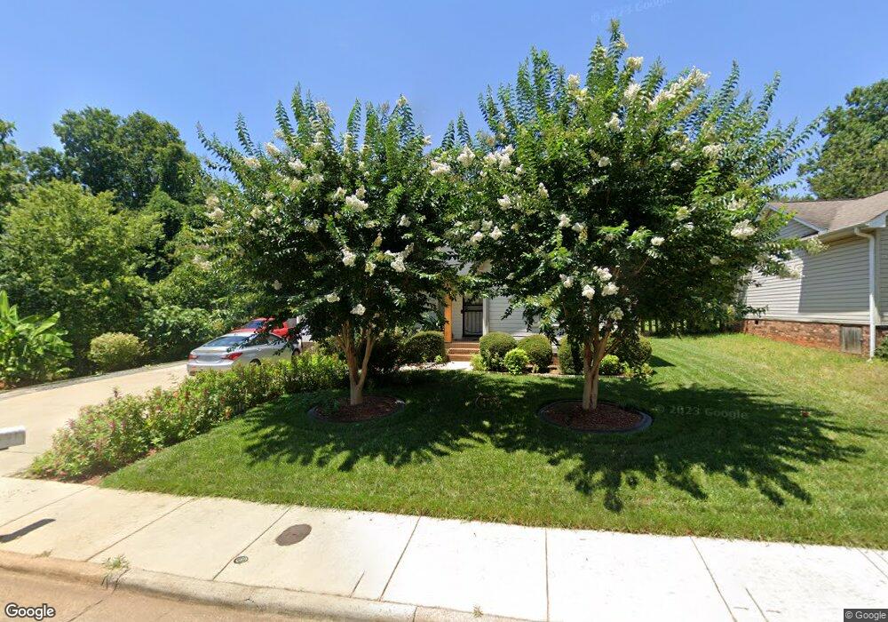
2973 Broadbay Dr Winston Salem, NC 27107
Broadbay Heights-Stewart Gardens NeighborhoodEstimated Value: $178,000 - $208,000
3
Beds
2
Baths
1,200
Sq Ft
$156/Sq Ft
Est. Value
About This Home
This home is located at 2973 Broadbay Dr, Winston Salem, NC 27107 and is currently estimated at $187,270, approximately $156 per square foot. 2973 Broadbay Dr is a home located in Forsyth County with nearby schools including Hall-Woodward Elementary School, Philo-Hill Magnet Academy, and R.B. Glenn High School.
Ownership History
Date
Name
Owned For
Owner Type
Purchase Details
Closed on
Jun 18, 2007
Sold by
Phase Iv Realty Inc
Bought by
Lara Armando and Lara Leticia
Current Estimated Value
Home Financials for this Owner
Home Financials are based on the most recent Mortgage that was taken out on this home.
Original Mortgage
$91,800
Outstanding Balance
$56,081
Interest Rate
6.16%
Mortgage Type
Purchase Money Mortgage
Estimated Equity
$131,189
Create a Home Valuation Report for This Property
The Home Valuation Report is an in-depth analysis detailing your home's value as well as a comparison with similar homes in the area
Home Values in the Area
Average Home Value in this Area
Purchase History
| Date | Buyer | Sale Price | Title Company |
|---|---|---|---|
| Lara Armando | $102,000 | None Available |
Source: Public Records
Mortgage History
| Date | Status | Borrower | Loan Amount |
|---|---|---|---|
| Open | Lara Armando | $91,800 |
Source: Public Records
Tax History Compared to Growth
Tax History
| Year | Tax Paid | Tax Assessment Tax Assessment Total Assessment is a certain percentage of the fair market value that is determined by local assessors to be the total taxable value of land and additions on the property. | Land | Improvement |
|---|---|---|---|---|
| 2025 | $1,352 | $182,100 | $25,000 | $157,100 |
| 2024 | $1,352 | $101,000 | $20,500 | $80,500 |
| 2023 | $1,352 | $101,000 | $20,500 | $80,500 |
| 2022 | $1,327 | $101,000 | $20,500 | $80,500 |
| 2021 | $1,303 | $101,000 | $20,500 | $80,500 |
| 2020 | $942 | $68,200 | $10,000 | $58,200 |
| 2019 | $949 | $68,200 | $10,000 | $58,200 |
| 2018 | $901 | $68,200 | $10,000 | $58,200 |
| 2016 | $1,191 | $90,457 | $10,000 | $80,457 |
| 2015 | $1,173 | $90,457 | $10,000 | $80,457 |
| 2014 | $1,137 | $90,457 | $10,000 | $80,457 |
Source: Public Records
Map
Nearby Homes
- 2830 Frank St
- 2329 Cole Rd
- 2922 Poinsetta Dr
- 0 Green Point Rd
- 2709 Reid St
- 2643 Reid St
- 2919 Susan Ln
- 137 Vogler Dr
- 3514 Landis St SE
- 3520 Landis St SE
- 1950 Butler St
- 3532 Landis St SE
- 3538 Landis St SE
- 3544 Landis St SE
- 3422 Robindale Dr
- 3428 Robindale Dr
- 421 Robindale Ct
- 3435 Robindale Dr
- 3458 Robindale Dr
- 3441 Robindale Dr
- 2985 Broadbay Dr
- 2961 Broadbay Dr
- 2997 Broadbay Dr
- 3002 Walsh St
- 2949 Broadbay Dr
- 3001 Corry Cir
- 3006 Walsh St
- 3003 Walsh St
- 3007 Walsh St
- 3005 Corry Cir
- 3010 Walsh St
- 2941 Troy Dr
- 2934 Broadbay Dr
- 2943 Broadbay Dr
- 3011 Walsh St
- 3002 Broadbay Dr
- 3009 Corry Cir
- 3005 Broadbay Dr
- 3014 Walsh St
- 2935 Troy Dr