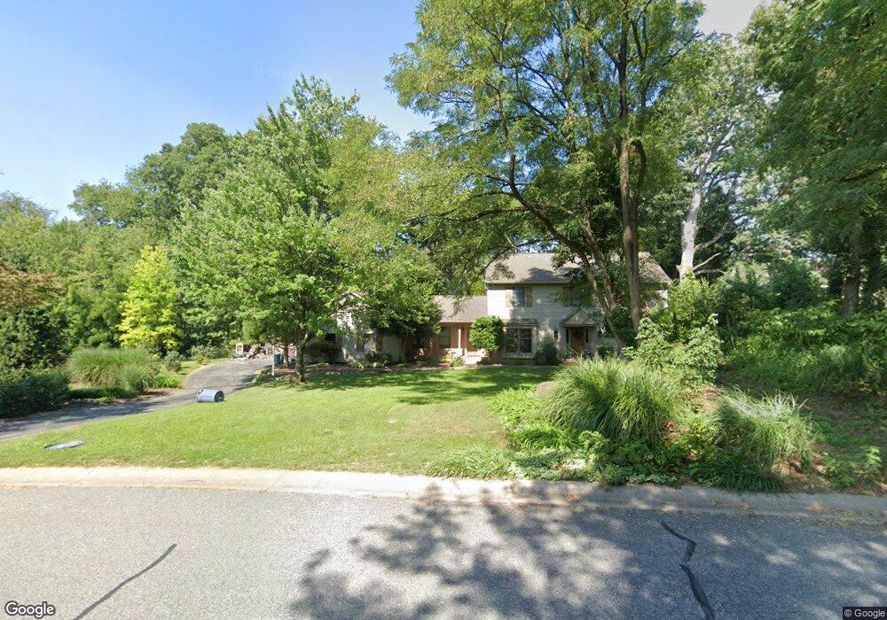
2973 Hearthside Ln Lancaster, PA 17601
East Hempfield NeighborhoodEstimated Value: $569,000 - $635,000
3
Beds
3
Baths
2,124
Sq Ft
$281/Sq Ft
Est. Value
About This Home
This home is located at 2973 Hearthside Ln, Lancaster, PA 17601 and is currently estimated at $595,878, approximately $280 per square foot. 2973 Hearthside Ln is a home located in Lancaster County with nearby schools including Centerville Elementary School, Centerville Middle School, and Hempfield Senior High School.
Ownership History
Date
Name
Owned For
Owner Type
Purchase Details
Closed on
Nov 18, 2016
Sold by
Wallis Cindy L
Bought by
Kiely Michael J
Current Estimated Value
Home Financials for this Owner
Home Financials are based on the most recent Mortgage that was taken out on this home.
Original Mortgage
$293,550
Outstanding Balance
$235,670
Interest Rate
3.42%
Mortgage Type
New Conventional
Estimated Equity
$360,208
Purchase Details
Closed on
Apr 17, 2006
Sold by
Wallis Michael Glenn and Wallis Cindy L
Bought by
Wallis Michael Glenn and Wallis Cindy L
Create a Home Valuation Report for This Property
The Home Valuation Report is an in-depth analysis detailing your home's value as well as a comparison with similar homes in the area
Home Values in the Area
Average Home Value in this Area
Purchase History
| Date | Buyer | Sale Price | Title Company |
|---|---|---|---|
| Kiely Michael J | $309,000 | Attorney | |
| Wallis Michael Glenn | -- | None Available |
Source: Public Records
Mortgage History
| Date | Status | Borrower | Loan Amount |
|---|---|---|---|
| Open | Kiely Michael J | $293,550 |
Source: Public Records
Tax History Compared to Growth
Tax History
| Year | Tax Paid | Tax Assessment Tax Assessment Total Assessment is a certain percentage of the fair market value that is determined by local assessors to be the total taxable value of land and additions on the property. | Land | Improvement |
|---|---|---|---|---|
| 2025 | $7,086 | $327,900 | $103,800 | $224,100 |
| 2024 | $7,086 | $327,900 | $103,800 | $224,100 |
| 2023 | $6,945 | $327,900 | $103,800 | $224,100 |
| 2022 | $6,753 | $327,900 | $103,800 | $224,100 |
| 2021 | $6,646 | $327,900 | $103,800 | $224,100 |
| 2020 | $6,646 | $327,900 | $103,800 | $224,100 |
| 2019 | $6,533 | $327,900 | $103,800 | $224,100 |
| 2018 | $1,286 | $327,900 | $103,800 | $224,100 |
| 2017 | $6,343 | $251,900 | $77,500 | $174,400 |
| 2016 | $6,343 | $251,900 | $77,500 | $174,400 |
| 2015 | $1,273 | $251,900 | $77,500 | $174,400 |
| 2014 | $4,778 | $251,900 | $77,500 | $174,400 |
Source: Public Records
Map
Nearby Homes
- 2990 Nolt Rd
- 854 Centerville Rd
- 1059 Nissley Rd
- 849 Aylesbury Dr
- 189 Ridings Way
- 1105 Amy Ln
- 3093 Essex Place
- 306 Country Place Dr Unit 306
- 660 Lawrence Blvd Unit DEVONSHIRE
- 660 Lawrence Blvd Unit MAGNOLIA
- 660 Lawrence Blvd Unit ADDISON
- 660 Lawrence Blvd Unit LACHLAN
- 660 Lawrence Blvd Unit COVINGTON
- 660 Lawrence Blvd Unit ARCADIA
- 660 Lawrence Blvd Unit PARKER
- 880 Corvair Rd
- Kipling Plan at Enclave at Independence Ridge
- Woodford Plan at Enclave at Independence Ridge
- Magnolia Plan at Enclave at Independence Ridge
- Sebastian Plan at Enclave at Independence Ridge
- 2977 Hearthside Ln
- 2965 Hearthside Ln
- 2974 Hearthside Ln
- 2949 Hearthside Ln
- 2970 Hearthside Ln
- 2953 Hearthside Ln
- 806 Stonebridge Dr
- 802 Stonebridge Dr
- 2978 Hearthside Ln
- 2961 Hearthside Ln
- 2981 Hearthside Ln
- 2985 Hearthside Ln
- 2957 Hearthside Ln
- 2966 Hearthside Ln
- 810 Stonebridge Dr
- 2982 Hearthside Ln
- 2962 Hearthside Ln
- 2938 Hearthside Ln
- 2989 Hearthside Ln
- 801 Stonebridge Dr