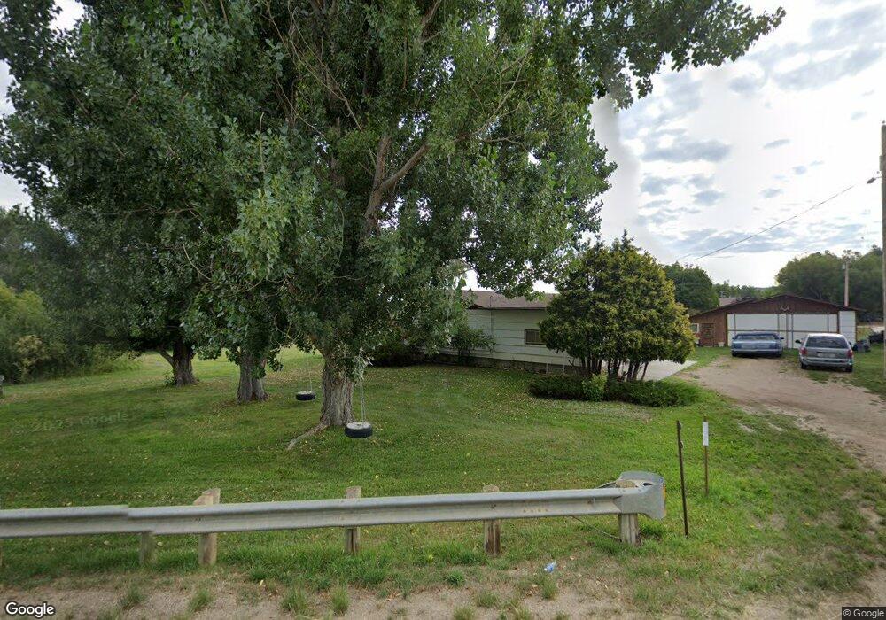
2973 Us Highway 87 Sheridan, WY 82801
Estimated Value: $456,000 - $545,697
3
Beds
2
Baths
1,620
Sq Ft
$318/Sq Ft
Est. Value
About This Home
This home is located at 2973 Us Highway 87, Sheridan, WY 82801 and is currently estimated at $514,899, approximately $317 per square foot. 2973 Us Highway 87 is a home with nearby schools including Sheridan High School and Reaching Higher.
Ownership History
Date
Name
Owned For
Owner Type
Purchase Details
Closed on
Oct 3, 2011
Sold by
Kurpjuweit Luann M
Bought by
Kurpjuweit Wayne F and Kurpjuweit Luann M
Current Estimated Value
Home Financials for this Owner
Home Financials are based on the most recent Mortgage that was taken out on this home.
Original Mortgage
$167,000
Outstanding Balance
$39,922
Interest Rate
4.28%
Mortgage Type
New Conventional
Estimated Equity
$474,977
Create a Home Valuation Report for This Property
The Home Valuation Report is an in-depth analysis detailing your home's value as well as a comparison with similar homes in the area
Home Values in the Area
Average Home Value in this Area
Purchase History
| Date | Buyer | Sale Price | Title Company |
|---|---|---|---|
| Kurpjuweit Wayne F | -- | None Available |
Source: Public Records
Mortgage History
| Date | Status | Borrower | Loan Amount |
|---|---|---|---|
| Open | Kurpjuweit Wayne F | $167,000 |
Source: Public Records
Tax History Compared to Growth
Tax History
| Year | Tax Paid | Tax Assessment Tax Assessment Total Assessment is a certain percentage of the fair market value that is determined by local assessors to be the total taxable value of land and additions on the property. | Land | Improvement |
|---|---|---|---|---|
| 2025 | $2,667 | $19,095 | $6,840 | $12,255 |
| 2024 | $2,467 | $40,102 | $13,680 | $26,422 |
| 2023 | $2,476 | $40,229 | $12,730 | $27,499 |
| 2022 | $2,374 | $35,704 | $10,450 | $25,254 |
| 2021 | $1,757 | $29,416 | $8,835 | $20,581 |
| 2020 | $1,621 | $27,379 | $7,125 | $20,254 |
| 2019 | $1,507 | $25,664 | $7,125 | $18,539 |
| 2018 | $1,382 | $23,780 | $6,650 | $17,130 |
| 2017 | $1,353 | $23,349 | $6,460 | $16,889 |
| 2015 | $1,249 | $21,779 | $4,822 | $16,957 |
| 2014 | $1,280 | $22,255 | $4,822 | $17,433 |
| 2013 | -- | $21,418 | $4,822 | $16,596 |
Source: Public Records
Map
Nearby Homes
- 37 Maverick Rd
- 7 Mallard Rd
- 3 Mallard Rd
- 4 Mallard Rd
- 91 Wyoming 335
- 96 Canvasback Rd
- 19 Spring Creek Ln
- 40 Mallard Rd
- 18 Circle 8 Dr
- 8 Buckskin Dr
- 1 Deer Haven Dr
- TBD Mccormick Rd Unit Lot 2
- TBD Mccormick Rd Unit Lot 1
- Tbd Wagon Wheel Court Lot F11
- Tbd Wagon Wheel Ct Lot F10 & F11
- TBD Wagon Wheel Ct Unit F10
- TBD Wagon Wheel Ct Unit F11
- TBD Wagon Wheel Ct Unit Lot 1
- TBD Wagon Wheel Ct Unit Lot 2
- 21 Eagle Ridge Dr
- 2972 Us Highway 87
- 75 Maverick Rd
- 69 Maverick Rd
- 65 Maverick Rd
- 2983 Us Highway 87
- 63 Maverick Rd
- 71 Maverick Rd
- 2970 Us Highway 87
- 3009 Us Highway 87
- 8 Maverick Ln
- 53 Maverick Rd
- 2 Mccormick Rd
- 1 Mccormick Rd
- 8 Reed Ln
- 50 Maverick Rd
- 22 Maverick Ln
- 11 Reed Ln
- 3015 Us Highway 87
- 3 Reed Ln
- 44 Maverick Rd