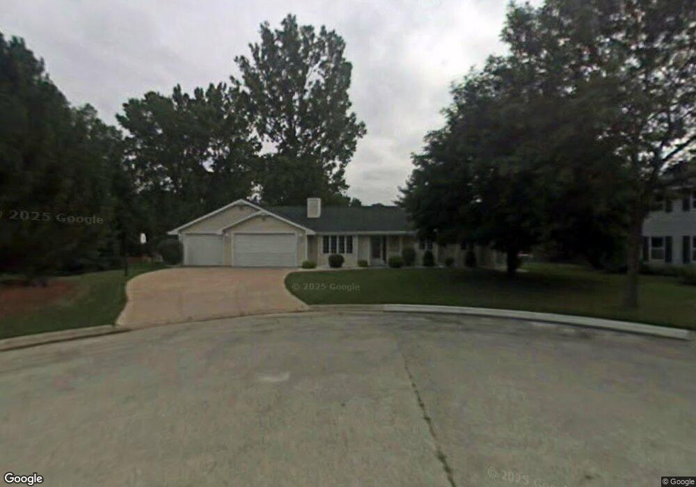
2973 W Milky Way Ct Green Bay, WI 54313
Westside NeighborhoodEstimated Value: $377,986 - $425,000
--
Bed
--
Bath
--
Sq Ft
0.29
Acres
About This Home
This home is located at 2973 W Milky Way Ct, Green Bay, WI 54313 and is currently estimated at $405,747. 2973 W Milky Way Ct is a home located in Brown County with nearby schools including King Elementary School, Lombardi Middle School, and Southwest High School.
Ownership History
Date
Name
Owned For
Owner Type
Purchase Details
Closed on
May 28, 2003
Sold by
Lessuise Mark N and Lessuise Mary B
Bought by
Nero James A and Nero Jean M
Current Estimated Value
Home Financials for this Owner
Home Financials are based on the most recent Mortgage that was taken out on this home.
Original Mortgage
$150,000
Outstanding Balance
$65,707
Interest Rate
5.78%
Mortgage Type
Purchase Money Mortgage
Estimated Equity
$340,040
Purchase Details
Closed on
Dec 14, 1998
Sold by
Kaster Nancy
Bought by
Lessuise Mark B and Lessuise Mary B
Home Financials for this Owner
Home Financials are based on the most recent Mortgage that was taken out on this home.
Original Mortgage
$131,250
Interest Rate
6.5%
Create a Home Valuation Report for This Property
The Home Valuation Report is an in-depth analysis detailing your home's value as well as a comparison with similar homes in the area
Home Values in the Area
Average Home Value in this Area
Purchase History
| Date | Buyer | Sale Price | Title Company |
|---|---|---|---|
| Nero James A | $199,900 | Liberty Title | |
| Lessuise Mark B | -- | Liberty Title |
Source: Public Records
Mortgage History
| Date | Status | Borrower | Loan Amount |
|---|---|---|---|
| Open | Nero James A | $150,000 | |
| Previous Owner | Lessuise Mark B | $131,250 |
Source: Public Records
Tax History Compared to Growth
Tax History
| Year | Tax Paid | Tax Assessment Tax Assessment Total Assessment is a certain percentage of the fair market value that is determined by local assessors to be the total taxable value of land and additions on the property. | Land | Improvement |
|---|---|---|---|---|
| 2024 | $5,153 | $273,400 | $49,600 | $223,800 |
| 2023 | $4,936 | $273,400 | $49,600 | $223,800 |
| 2022 | $4,816 | $273,400 | $49,600 | $223,800 |
| 2021 | $4,970 | $212,800 | $48,000 | $164,800 |
| 2020 | $5,000 | $212,800 | $48,000 | $164,800 |
| 2019 | $4,916 | $212,800 | $48,000 | $164,800 |
| 2018 | $4,736 | $212,800 | $48,000 | $164,800 |
| 2017 | $4,660 | $212,800 | $48,000 | $164,800 |
| 2016 | $4,590 | $212,800 | $48,000 | $164,800 |
| 2015 | $4,677 | $212,800 | $48,000 | $164,800 |
| 2014 | $4,889 | $212,800 | $48,000 | $164,800 |
| 2013 | $4,889 | $212,800 | $48,000 | $164,800 |
Source: Public Records
Map
Nearby Homes
- 2993 Fleetwood Dr
- 3096 S Sandstone Ct
- 3023 Crusade Ln
- 3097 S Sandstone Ct
- 3102 Sandstone Ct
- 916 Square Terrace
- 1000 Rolling Green Dr
- 1602 W Crusade Ln
- 3112 Birdie Ct
- 1433 Baumgart Rd Unit 1435
- 618 Night Ct
- 1940 Renaissance Ct
- 516 Country Club Rd
- 2640 He Nis Ra Ln
- 3833 Hillcrest Dr
- 2550 He Nis Ra Ln
- 2768 Independence Dr
- 4179 Hillcrest Dr
- 2610 Sumac Place
- 2439 W Point Rd
- 2980 W Milky Way Ct
- 2976 Sandia Dr
- 2979 W Milky Way Ct
- 2982 Sandia Dr
- 1230 Sandhill Dr
- 2963 Milky Way Dr Unit 2965
- 2966 Sandia Dr
- 2990 Sandia Dr
- 1229 Lacount Rd
- 1210 Sandhill Dr
- 1225 Lacount Rd
- 2976 W Milky Way Ct
- 1217 Lacount Rd
- 2972 W Milky Way Ct
- 2994 Sandia Dr Unit 2996
- 3877 Sandhill Dr
- 2965 Sandia Dr
- 2977 Sandia Dr Unit 2979
- 1213 Lacount Rd
- 1235 Sandhill Dr