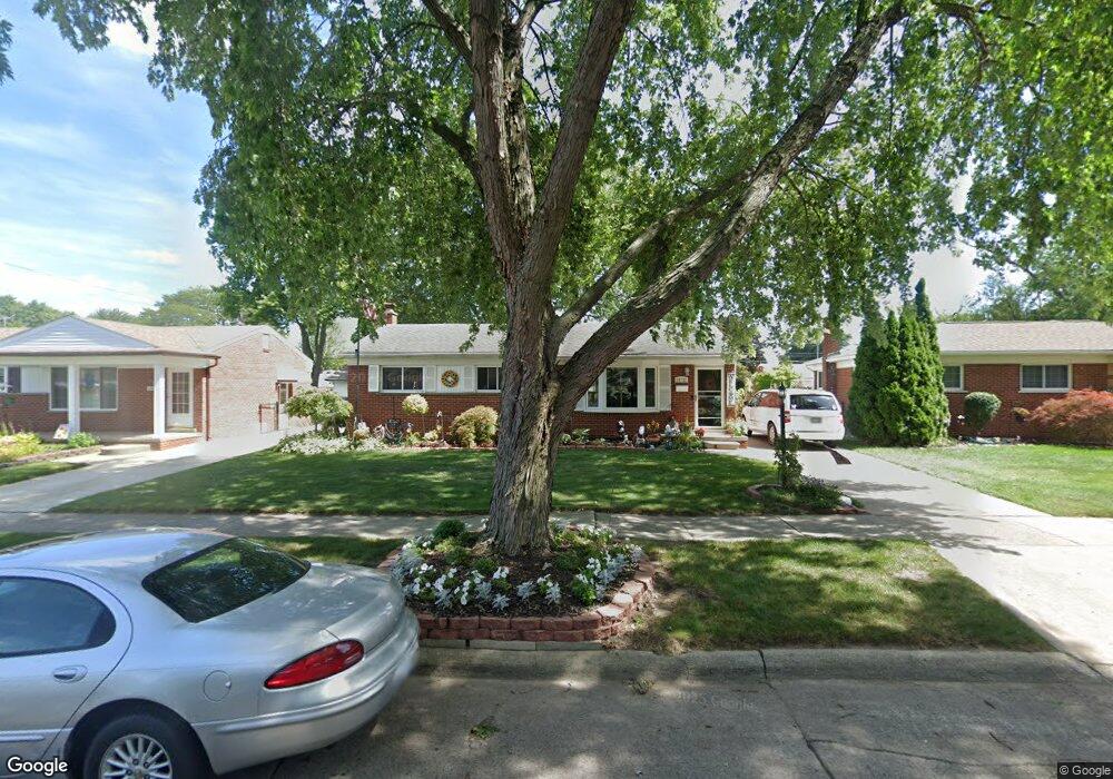
29732 Moulin Ave Warren, MI 48088
Northeast Warren NeighborhoodEstimated Value: $225,138 - $245,000
3
Beds
1
Bath
1,030
Sq Ft
$229/Sq Ft
Est. Value
About This Home
This home is located at 29732 Moulin Ave, Warren, MI 48088 and is currently estimated at $235,535, approximately $228 per square foot. 29732 Moulin Ave is a home located in Macomb County with nearby schools including Warren Woods Tower High School, Warren Woods Christian School, and Warren SDA Junior Academy.
Ownership History
Date
Name
Owned For
Owner Type
Purchase Details
Closed on
Jul 8, 2003
Sold by
Steinhebel Michael Paul
Bought by
Cassel George and Cassel Sue
Current Estimated Value
Home Financials for this Owner
Home Financials are based on the most recent Mortgage that was taken out on this home.
Original Mortgage
$120,000
Interest Rate
5.69%
Mortgage Type
Purchase Money Mortgage
Create a Home Valuation Report for This Property
The Home Valuation Report is an in-depth analysis detailing your home's value as well as a comparison with similar homes in the area
Home Values in the Area
Average Home Value in this Area
Purchase History
| Date | Buyer | Sale Price | Title Company |
|---|---|---|---|
| Cassel George | -- | Title Source |
Source: Public Records
Mortgage History
| Date | Status | Borrower | Loan Amount |
|---|---|---|---|
| Previous Owner | Cassel George | $120,000 |
Source: Public Records
Tax History Compared to Growth
Tax History
| Year | Tax Paid | Tax Assessment Tax Assessment Total Assessment is a certain percentage of the fair market value that is determined by local assessors to be the total taxable value of land and additions on the property. | Land | Improvement |
|---|---|---|---|---|
| 2025 | $2,797 | $100,480 | $0 | $0 |
| 2024 | $2,718 | $91,360 | $0 | $0 |
| 2023 | $2,568 | $88,230 | $0 | $0 |
| 2022 | $2,518 | $76,710 | $0 | $0 |
| 2021 | $2,470 | $70,260 | $0 | $0 |
| 2020 | $2,368 | $65,660 | $0 | $0 |
| 2019 | $2,262 | $62,840 | $0 | $0 |
| 2018 | $2,161 | $53,080 | $0 | $0 |
| 2017 | $2,161 | $47,810 | $10,290 | $37,520 |
| 2016 | $2,144 | $47,810 | $0 | $0 |
| 2015 | $1,257 | $43,440 | $0 | $0 |
| 2013 | $2,072 | $40,550 | $0 | $0 |
Source: Public Records
Map
Nearby Homes
- 30040 Schoenherr Rd
- 30052 Schoenherr Rd
- 13325 Iowa Dr
- 13740 Iowa Dr
- 29359 Yorkshire Ln
- 29365 Dover Ave
- 29266 Moulin Ave
- 13265 Geoffry Dr
- 30139 Flanders Ave
- 29161 Schoenherr Rd
- 30252 Newport Dr
- 29667 Newport Dr
- 13264 Geoffry Dr
- 29259 Fairfield Dr
- 29251 Bon Mar Dr
- 30806 Ridgefield Ave
- 29820 Palomino Dr
- 30419 Iroquois Dr
- 14219 Harrison Dr
- 29754 Autumn Ln
- 29744 Moulin Ave
- 29720 Moulin Ave
- 29825 Schoenherr Rd
- 29811 Schoenherr Rd
- 29708 Moulin Ave
- 29839 Schoenherr Rd
- 13412 Common Rd
- 13432 Common Rd
- 29781 Schoenherr Rd
- 29741 Moulin Ave
- 29725 Moulin Ave
- 13456 Common Rd
- 29767 Schoenherr Rd
- 29662 Moulin Ave
- 13324 Common Rd
- 29753 Schoenherr Rd
- 13293 Walter Ave
- 13302 Common Rd
- 29650 Moulin Ave
- 13316 Walter Ave