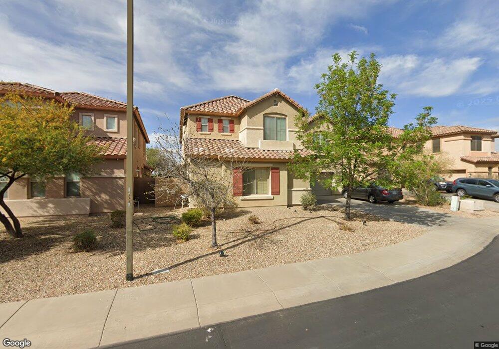
29736 N 71st Ln Peoria, AZ 85383
Estimated Value: $567,123 - $624,000
--
Bed
4
Baths
3,110
Sq Ft
$194/Sq Ft
Est. Value
About This Home
This home is located at 29736 N 71st Ln, Peoria, AZ 85383 and is currently estimated at $603,031, approximately $193 per square foot. 29736 N 71st Ln is a home located in Maricopa County with nearby schools including Copper Creek Elementary School, Hillcrest Middle School, and Mountain Ridge High School.
Ownership History
Date
Name
Owned For
Owner Type
Purchase Details
Closed on
Jan 30, 2006
Sold by
First American Title Insurance Co
Bought by
Odisho Orahim Y and Odisho Liza
Current Estimated Value
Home Financials for this Owner
Home Financials are based on the most recent Mortgage that was taken out on this home.
Original Mortgage
$348,350
Interest Rate
1.25%
Mortgage Type
Purchase Money Mortgage
Create a Home Valuation Report for This Property
The Home Valuation Report is an in-depth analysis detailing your home's value as well as a comparison with similar homes in the area
Home Values in the Area
Average Home Value in this Area
Purchase History
| Date | Buyer | Sale Price | Title Company |
|---|---|---|---|
| Odisho Orahim Y | $435,476 | First American Title Ins Co |
Source: Public Records
Mortgage History
| Date | Status | Borrower | Loan Amount |
|---|---|---|---|
| Previous Owner | Odisho Orahim Y | $348,350 |
Source: Public Records
Tax History Compared to Growth
Tax History
| Year | Tax Paid | Tax Assessment Tax Assessment Total Assessment is a certain percentage of the fair market value that is determined by local assessors to be the total taxable value of land and additions on the property. | Land | Improvement |
|---|---|---|---|---|
| 2025 | $2,659 | $32,379 | -- | -- |
| 2024 | $2,590 | $30,837 | -- | -- |
| 2023 | $2,590 | $43,770 | $8,750 | $35,020 |
| 2022 | $2,493 | $34,810 | $6,960 | $27,850 |
| 2021 | $2,617 | $32,860 | $6,570 | $26,290 |
| 2020 | $2,573 | $29,960 | $5,990 | $23,970 |
| 2019 | $2,500 | $28,950 | $5,790 | $23,160 |
| 2018 | $2,394 | $28,030 | $5,600 | $22,430 |
| 2017 | $2,312 | $26,170 | $5,230 | $20,940 |
| 2016 | $2,161 | $25,630 | $5,120 | $20,510 |
| 2015 | $2,007 | $25,200 | $5,040 | $20,160 |
Source: Public Records
Map
Nearby Homes
- 7039 W Katharine Way
- 29634 N 69th Ln
- 7034 W Lone Tree Trail
- 29067 N 71st Ave
- 29374 N 68th Ln
- 30341 N 73rd Ln
- 28995 N 71st Ave
- 29024 N 70th Ave
- 6807 W Palo Brea Ln
- 7383 W Milton Dr
- 7351 W Palo Brea Ln
- 29356 N 67th Ave
- 29051 N 69th Ave
- 28894 N Chalfen Blvd Unit 21
- 29339 N 67th Ave
- 7419 W Palo Brea Ln
- 7350 W Montgomery Rd
- 6858 W Peak View Rd
- 6886 W Mazatzal Dr
- 6793 W Evergreen Terrace
- 29718 N 71st Ln
- 29754 N 71st Ln
- 12491 W Caleb Rd
- 29700 N 71st Ln
- 7162 W Caleb Rd
- 7159 W Caleb Rd
- 29682 N 71st Ln
- 7150 W Caleb Rd
- 7179 W Ashby Dr
- 7158 W Katharine Way
- 7147 W Caleb Rd
- 7189 W Ashby Dr
- 7169 W Ashby Dr
- 29664 N 71st Ln
- 7159 W Ashby Dr
- 7138 W Caleb Rd
- 7144 W Katharine Way
- 7199 W Ashby Dr
- 7135 W Caleb Rd
- 7149 W Ashby Dr