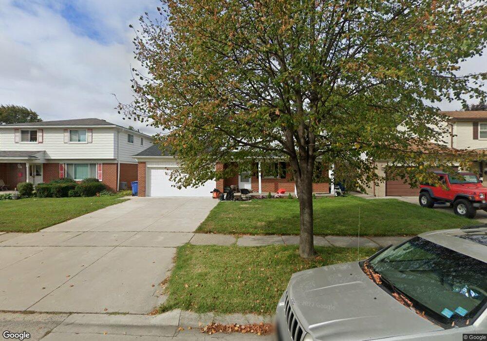
29739 Westbrook Ave Warren, MI 48092
Northwest Warren NeighborhoodEstimated Value: $282,000 - $308,000
4
Beds
2
Baths
1,712
Sq Ft
$173/Sq Ft
Est. Value
About This Home
This home is located at 29739 Westbrook Ave, Warren, MI 48092 and is currently estimated at $295,865, approximately $172 per square foot. 29739 Westbrook Ave is a home located in Macomb County with nearby schools including Lean Elementary School, Beer Middle School, and Warren Mott High School.
Ownership History
Date
Name
Owned For
Owner Type
Purchase Details
Closed on
Mar 10, 2017
Sold by
Alasad Nashwan and Almadhrahi Ashwak
Bought by
Alasad Ghalia Saleh
Current Estimated Value
Purchase Details
Closed on
May 21, 2009
Sold by
Nrc Construction Llc
Bought by
Alasad Saleh
Purchase Details
Closed on
Sep 28, 2007
Sold by
Mackeverican Edward D and Mackeverican Denise D
Bought by
Deutsche Bank National Trust Co and Ameriquest Mortgage Securities Inc Asset
Create a Home Valuation Report for This Property
The Home Valuation Report is an in-depth analysis detailing your home's value as well as a comparison with similar homes in the area
Home Values in the Area
Average Home Value in this Area
Purchase History
| Date | Buyer | Sale Price | Title Company |
|---|---|---|---|
| Alasad Ghalia Saleh | -- | None Available | |
| Alasad Saleh | -- | None Available | |
| Deutsche Bank National Trust Co | $186,470 | None Available |
Source: Public Records
Tax History Compared to Growth
Tax History
| Year | Tax Paid | Tax Assessment Tax Assessment Total Assessment is a certain percentage of the fair market value that is determined by local assessors to be the total taxable value of land and additions on the property. | Land | Improvement |
|---|---|---|---|---|
| 2025 | $3,245 | $135,670 | $0 | $0 |
| 2024 | $32 | $130,590 | $0 | $0 |
| 2023 | $3,009 | $115,920 | $0 | $0 |
| 2022 | $2,908 | $101,890 | $0 | $0 |
| 2021 | $2,959 | $96,270 | $0 | $0 |
| 2020 | $2,853 | $93,060 | $0 | $0 |
| 2019 | $2,750 | $82,350 | $0 | $0 |
| 2018 | $2,793 | $72,490 | $0 | $0 |
| 2017 | $2,758 | $69,290 | $9,770 | $59,520 |
| 2016 | $2,755 | $69,290 | $0 | $0 |
| 2015 | -- | $60,040 | $0 | $0 |
| 2013 | $5,169 | $47,380 | $0 | $0 |
Source: Public Records
Map
Nearby Homes
- 29713 Mackenzie Cir W
- 1957 Nicholas Ct
- 29730 Mackenzie Cir E
- 1687 Fontaine Ave
- 29526 Shirley Ave
- 29273 Tessmer Ct Unit 87
- 1405 Dulong Ave
- 1372 Moulin Ave
- 1811 Briarwood Dr
- 1812 E Thirteen Mile Rd
- 1886 E 13 Mile Rd
- 30802 Dell Ln
- 28720 Alden St
- 29585 Milton Ave
- 2415 Otter St
- 29659 van Laan Dr
- 30469 Winthrop Dr
- 31227 Dequindre Rd
- 29147 Milton Ave
- 28452 Universal Dr
- 29727 Westbrook Ave
- 29751 Westbrook Ave
- 29715 Westbrook Ave
- 29738 Merrick Ave
- 29756 Merrick Ave
- 29720 Merrick Ave
- 29703 Westbrook Ave
- 29734 Westbrook Ave
- 29748 Westbrook Ave
- 29722 Westbrook Ave
- 2198 Walter Ct
- 2287 Walter Ave
- 29814 Merrick Ave
- 29655 Westbrook Ave
- 2275 Walter Ave
- 29710 Westbrook Ave
- 2299 Walter Ave
- 2311 Walter Ave
- 2186 Walter Ct
- 29660 Westbrook Ave