2974 N Chickadee Dr Port Clinton, OH 43452
Estimated Value: $266,898 - $466,000
2
Beds
1
Bath
1,040
Sq Ft
$342/Sq Ft
Est. Value
About This Home
This home is located at 2974 N Chickadee Dr, Port Clinton, OH 43452 and is currently estimated at $355,475, approximately $341 per square foot. 2974 N Chickadee Dr is a home located in Ottawa County with nearby schools including Bataan Memorial Primary School, Bataan Memorial Intermediate School, and Port Clinton Middle School.
Ownership History
Date
Name
Owned For
Owner Type
Purchase Details
Closed on
Jan 29, 2024
Sold by
Kline Gregory N
Bought by
Billings Michael and Billings Jennifer
Current Estimated Value
Purchase Details
Closed on
Nov 10, 2010
Sold by
Halladay Jo Ellen and Halladay Thomas W
Bought by
Kline Gregory Nolan and Billings Jennifer Lynn Kessler
Purchase Details
Closed on
Nov 5, 2010
Sold by
Estate Of Nolan M Kline
Bought by
Kline Gregory Nolan and Kline Jeffrey Paul
Create a Home Valuation Report for This Property
The Home Valuation Report is an in-depth analysis detailing your home's value as well as a comparison with similar homes in the area
Home Values in the Area
Average Home Value in this Area
Purchase History
| Date | Buyer | Sale Price | Title Company |
|---|---|---|---|
| Billings Michael | $120,000 | None Listed On Document | |
| Billings Michael | $120,000 | None Listed On Document | |
| Kline Gregory Nolan | $12,350 | Attorney | |
| Kline Gregory Nolan | -- | None Available |
Source: Public Records
Tax History Compared to Growth
Tax History
| Year | Tax Paid | Tax Assessment Tax Assessment Total Assessment is a certain percentage of the fair market value that is determined by local assessors to be the total taxable value of land and additions on the property. | Land | Improvement |
|---|---|---|---|---|
| 2024 | $2,158 | $66,563 | $31,416 | $35,147 |
| 2023 | $2,158 | $51,408 | $20,951 | $30,457 |
| 2022 | $1,831 | $51,408 | $20,951 | $30,457 |
| 2021 | $1,829 | $51,410 | $20,950 | $30,460 |
| 2020 | $1,348 | $36,460 | $14,450 | $22,010 |
| 2019 | $1,335 | $36,460 | $14,450 | $22,010 |
| 2018 | $1,499 | $36,460 | $14,450 | $22,010 |
| 2017 | $1,391 | $33,010 | $14,450 | $18,560 |
| 2016 | $1,394 | $33,010 | $14,450 | $18,560 |
| 2015 | $1,403 | $33,010 | $14,450 | $18,560 |
| 2014 | $1,257 | $29,790 | $12,040 | $17,750 |
| 2013 | $1,261 | $29,790 | $12,040 | $17,750 |
Source: Public Records
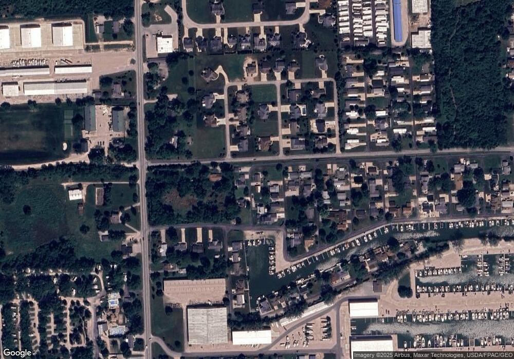
Map
Nearby Homes
- 3046 N Searay Dr
- 2970 N Swift Dr
- 5411 E Channel Dr
- 2734 NE Catawba Rd
- 2629 NE Catawba Rd
- 5601 E Pittsburgh St
- 2822 N Noreaster Cove Dr
- 5510 E Center Ln
- 2888 N Coho Dr
- 5475 E Mabel Dr
- 4862 Tradewinds Dr
- 2901 Villa Ct Unit C
- 2750 Canterbury Cir Unit C
- 2914 N Perch Row
- 3575 NE Catawba Rd Unit 29
- 3575 NE Catawba Rd Unit 5
- 2769 Canterbury Cir
- 2769 N Canterbury Cir Unit B
- 2855 N Canterbury Cir Unit A
- 2591 N Torino Dr
- 2969 N Chickadee Dr
- 0 N Chickadee Dr
- 2972 N Killdeer Dr
- 2976 N Chickadee Dr
- 2960 N Killdeer Dr
- 2954 N Chickadee Dr
- 3030 N Hatterus Dr
- 5570 Killdeer
- 3031 N Tiara Dr
- 2969 N Killdeer Dr
- 2936 N Killdeer Dr
- 2985 NE Catawba Rd
- 5584 E Skipper Dr
- 5584 E Skipper Dr
- 2970 N Heron Dr
- 3046 N Hatterus Dr
- 3031 N Hatterus Dr
- 3047 N Tiara Dr
- 2940 N Heron Dr
- 3030 N Tiara Dr