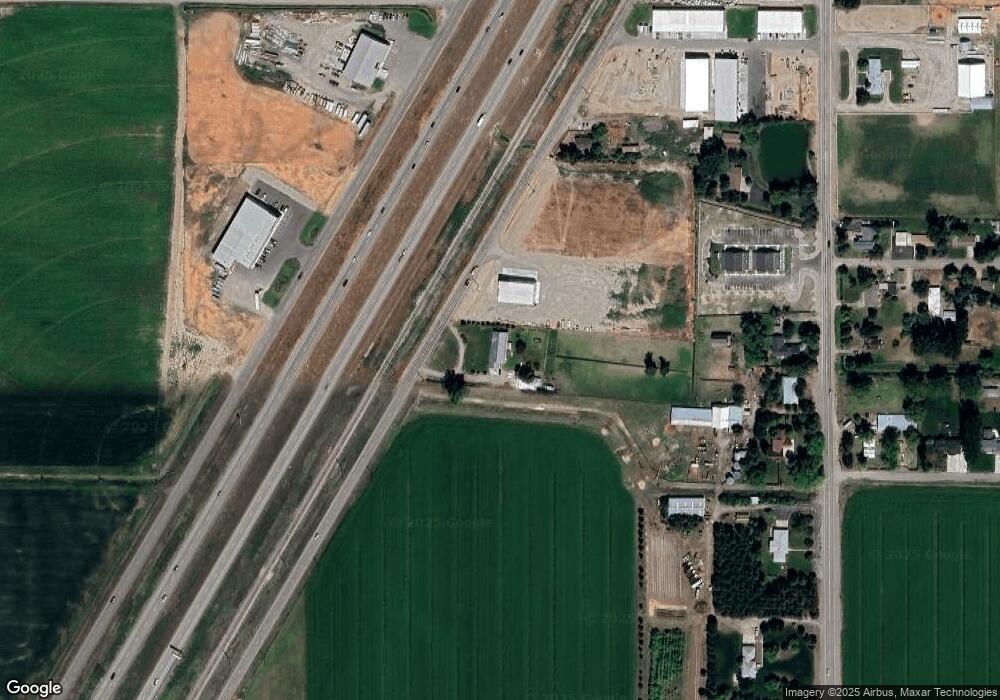
2974 S Highway 191 Rexburg, ID 83440
Estimated Value: $661,503 - $794,000
5
Beds
2
Baths
5,456
Sq Ft
$134/Sq Ft
Est. Value
About This Home
This home is located at 2974 S Highway 191, Rexburg, ID 83440 and is currently estimated at $728,376, approximately $133 per square foot. 2974 S Highway 191 is a home located in Madison County with nearby schools including South Fork Elementary School, Madison Junior High School, and Madison Senior High School.
Ownership History
Date
Name
Owned For
Owner Type
Purchase Details
Closed on
Feb 24, 2022
Sold by
Vernon K And Karen Kay Siepert Living Tr
Bought by
Carter Scott and Carter Shiloh
Current Estimated Value
Home Financials for this Owner
Home Financials are based on the most recent Mortgage that was taken out on this home.
Original Mortgage
$400,000
Outstanding Balance
$371,430
Interest Rate
3.55%
Mortgage Type
New Conventional
Estimated Equity
$356,946
Create a Home Valuation Report for This Property
The Home Valuation Report is an in-depth analysis detailing your home's value as well as a comparison with similar homes in the area
Home Values in the Area
Average Home Value in this Area
Purchase History
| Date | Buyer | Sale Price | Title Company |
|---|---|---|---|
| Carter Scott | -- | First American Title |
Source: Public Records
Mortgage History
| Date | Status | Borrower | Loan Amount |
|---|---|---|---|
| Open | Carter Scott | $400,000 |
Source: Public Records
Tax History Compared to Growth
Tax History
| Year | Tax Paid | Tax Assessment Tax Assessment Total Assessment is a certain percentage of the fair market value that is determined by local assessors to be the total taxable value of land and additions on the property. | Land | Improvement |
|---|---|---|---|---|
| 2025 | $3,402 | $611,484 | $96,800 | $514,684 |
| 2024 | $3,402 | $611,484 | $96,800 | $514,684 |
| 2023 | $3,402 | $545,784 | $76,800 | $468,984 |
| 2022 | $3,930 | $515,065 | $64,700 | $450,365 |
| 2021 | $3,392 | $407,769 | $47,600 | $360,169 |
| 2020 | $1,321 | $319,560 | $40,100 | $279,460 |
| 2019 | $2,675 | $294,433 | $40,100 | $254,333 |
| 2018 | $2,687 | $294,433 | $40,100 | $254,333 |
| 2017 | $2,606 | $278,729 | $40,100 | $238,629 |
| 2016 | $2,452 | $274,698 | $37,600 | $237,098 |
| 2015 | $2,234 | $249,616 | $0 | $0 |
| 2013 | -- | $245,416 | $0 | $0 |
Source: Public Records
Map
Nearby Homes
- L4 B4 Paradise Ave
- L5 B4 Paradise Ave
- L2 B4 Paradise Ave
- L1 B4 Paradise Ave
- L3 B4 Paradise Ave
- L8 B1 Sundown Rd
- L9 B1 Sundown Rd
- L8 B2 Twilight Rd
- L1 B1 Solar Rd
- 2145 Pebble Brook Ct
- 2147 Pebble Brook Ct
- 2149 Pebble Brook Ct
- 2151 Pebble Brook Ct
- L2 B1 Sundown Rd
- 2153 Pebble Brook Ct
- 2173 Pebble Brook Ct
- TBD W 2000 S
- 2175 Pebble Brook Ct
- 2177 Pebble Brook Ct
- 2179 Pebble Brook Ct
- 2974 S Yellowstone Hwy
- 2691 S Yellowstone Hwy Unit 300-3
- 2691 S Yellowstone Hwy Unit 205
- 2000 S S 2000 W W
- 2828 S Highway 191
- 2955 S 2000 W
- 2965 S 2000 W
- 2973 S 2000 W
- 2847 S 2000 W
- TBD S 2000 W
- 3047 S 2000 W
- 2830 W 2600 S
- 2908 S 2000 W
- 2908 S 2000 W
- 2908 S 2000 W
- 2956 S 2000 W
- 2856 S 2000 W
- 3141 S 2000 W
- 2976 S 2000 W
- 1969 W 2870 S