2975 Clegg Farm Rd Social Circle, GA 30025
Estimated Value: $590,000 - $1,098,000
--
Bed
--
Bath
3,424
Sq Ft
$234/Sq Ft
Est. Value
About This Home
This home is located at 2975 Clegg Farm Rd, Social Circle, GA 30025 and is currently estimated at $802,577, approximately $234 per square foot. 2975 Clegg Farm Rd is a home with nearby schools including Walnut Grove Elementary School, Youth Middle School, and Walnut Grove High School.
Ownership History
Date
Name
Owned For
Owner Type
Purchase Details
Closed on
Apr 20, 1999
Sold by
Grant W C
Bought by
Edwards Jon P and Edwards Marilyn K
Current Estimated Value
Home Financials for this Owner
Home Financials are based on the most recent Mortgage that was taken out on this home.
Original Mortgage
$272,000
Interest Rate
7.13%
Mortgage Type
New Conventional
Create a Home Valuation Report for This Property
The Home Valuation Report is an in-depth analysis detailing your home's value as well as a comparison with similar homes in the area
Home Values in the Area
Average Home Value in this Area
Purchase History
| Date | Buyer | Sale Price | Title Company |
|---|---|---|---|
| Edwards Jon P | $340,000 | -- |
Source: Public Records
Mortgage History
| Date | Status | Borrower | Loan Amount |
|---|---|---|---|
| Closed | Edwards Jon P | $272,000 |
Source: Public Records
Tax History Compared to Growth
Tax History
| Year | Tax Paid | Tax Assessment Tax Assessment Total Assessment is a certain percentage of the fair market value that is determined by local assessors to be the total taxable value of land and additions on the property. | Land | Improvement |
|---|---|---|---|---|
| 2024 | $3,504 | $316,200 | $218,560 | $97,640 |
| 2023 | $3,223 | $291,200 | $207,520 | $83,680 |
| 2022 | $3,223 | $270,720 | $194,000 | $76,720 |
| 2021 | $3,189 | $222,480 | $150,920 | $71,560 |
| 2020 | $3,243 | $202,480 | $130,920 | $71,560 |
| 2019 | $3,158 | $183,480 | $112,280 | $71,200 |
| 2018 | $3,183 | $183,480 | $112,280 | $71,200 |
| 2017 | $6,017 | $174,640 | $105,120 | $69,520 |
| 2016 | $2,985 | $158,920 | $92,120 | $66,800 |
| 2015 | $2,921 | $142,960 | $78,760 | $64,200 |
| 2014 | $2,934 | $131,600 | $0 | $0 |
Source: Public Records
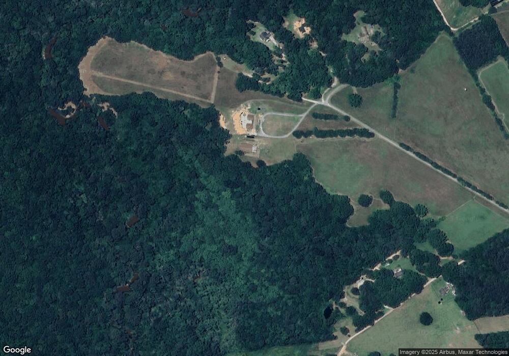
Map
Nearby Homes
- 1056 Riverstone Dr
- 1077 Riverstone Dr
- 4741 H D Atha Rd
- 4751 H D Atha Rd
- 433 Clover Dr
- 318 Richmond Dr
- 4955 H D Atha Rd
- 355 Conner Ct
- 100 Saint Andrews Ct
- 226 Rogue Rd
- 443 Windsong Ln
- 1244 Morrow Dr
- 2049 Emily Dr
- 215 Park Place Trail
- 967 Park Place St
- 210 Park Place Trail
- The Trenton Plan at Town Park
- The Scottsdale Plan at Town Park
- 184 Wildflower Dr
- 939 Park Place St
- 2949 Clegg Farm Rd
- 0 Clegg Farm Rd Unit 6003816
- 0 Clegg Farm Rd Unit 8349197
- 0 Clegg Farm Rd Unit 8319750
- 0 Clegg Farm Rd Unit 7602953
- 0 Clegg Farm Rd Unit 10ac 8095700
- 0 Clegg Farm Rd Unit 5ac 8095696
- 0 Clegg Farm Rd Unit 8151421
- 0 Clegg Farm Rd Unit 4129251
- 0 Clegg Farm Rd Unit 8046465
- 0 Clegg Farm Rd Unit 9013664
- 0 Clegg Farm Rd Unit 7579653
- 0 Clegg Farm Rd Unit 8257990
- 2997 Clegg Farm Rd
- 1013 Riverstone Dr
- 1005 Riverstone Dr Unit 2
- 1005 Riverstone Dr
- 1009 Riverstone Dr
- 1001 Riverstone Dr Unit 1
- 1001 Riverstone Dr