2975 Normandy Rd Springfield, IL 62703
Springfield AreaEstimated Value: $124,000 - $243,000
About This Home
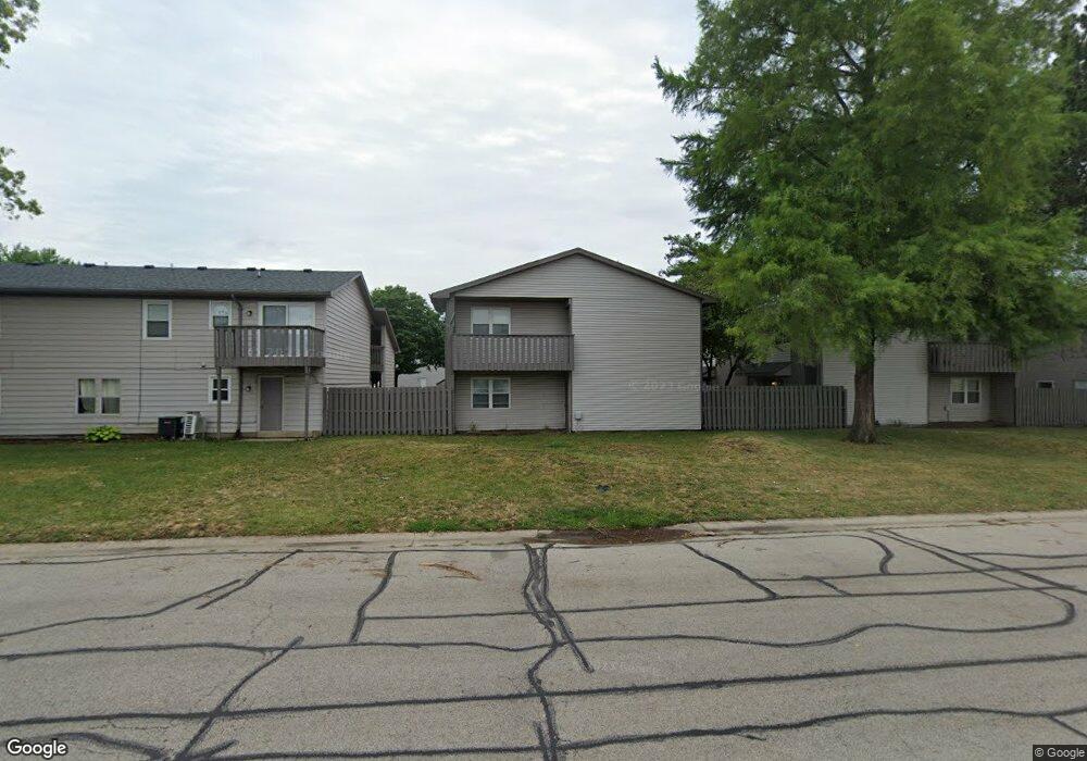
This home is located at 2975 Normandy Rd, Springfield, IL 62703 and is currently estimated at $174,126. 2975 Normandy Rd is a home located in Sangamon County with nearby schools including Hazel Dell Elementary School, Jefferson Middle School, and Springfield Southeast High School.
Ownership History
We collect this data history from publicly available records. To have your information removed, we recommend requesting removal directly through your county’s website.
Purchase Details
Home Financials for this Owner
Home Financials are based on the most recent Mortgage that was taken out on this home.Purchase Details
Purchase History
We collect this data history from publicly available records. To have your information removed, we recommend requesting removal directly through your county’s website.
| Date | Buyer | Sale Price | Title Company |
|---|---|---|---|
| $1,850,000 | Rabin & Bruce Llp | ||
| $2,196,000 | -- |
Mortgage History
We collect this data history from publicly available records. To have your information removed, we recommend requesting removal directly through your county’s website.
| Date | Status | Borrower | Loan Amount |
|---|---|---|---|
| Closed | $3,556,000 | ||
| Closed | $7,200,000 | ||
| Previous Owner | $1,275,000 |
Tax History
We collect this data history from publicly available records. To have your information removed, we recommend requesting removal directly through your county’s website.
| Year | Tax Paid | Tax Assessment Tax Assessment Total Assessment is a certain percentage of the fair market value that is determined by local assessors to be the total taxable value of land and additions on the property. | Land | Improvement |
|---|---|---|---|---|
| 2025 | $3,429 | $42,346 | $4,876 | $37,470 |
| 2024 | $3,317 | $39,495 | $4,548 | $34,947 |
| 2023 | $3,189 | $36,075 | $4,154 | $31,921 |
| 2022 | $3,066 | $34,220 | $3,940 | $30,280 |
| 2021 | $2,965 | $32,938 | $3,792 | $29,146 |
| 2020 | $2,906 | $32,988 | $3,798 | $29,190 |
| 2019 | $2,852 | $32,873 | $3,785 | $29,088 |
| 2018 | $1,727 | $20,445 | $3,778 | $16,667 |
| 2017 | $1,692 | $20,180 | $3,729 | $16,451 |
| 2016 | $1,658 | $19,886 | $3,675 | $16,211 |
| 2015 | $1,642 | $19,648 | $3,631 | $16,017 |
| 2014 | $1,618 | $19,522 | $3,608 | $15,914 |
| 2013 | $1,582 | $19,522 | $3,608 | $15,914 |
Map
- 3012 Taylor Ave Unit 58
- 3100 Butler St Unit 1833
- 2800 Via Rosso St Unit 130
- 2800 Via Rosso St Unit 95
- 2800 Via Rosso St Unit 146
- 2800 Via Rosso St Unit 194
- 2800 Via Rosso St Unit 631
- 2800 Via Rosso St Unit 73
- 2800 Via Rosso St
- 2800 Via Rosso St Unit 603
- 2800 Via Rosso St Unit 106
- 2800 Via Rosso St Unit 15
- 16 Delmar Dr
- 3219 Butler St Unit 1
- 101 Adloff Ln
- 2007 E Buchanan St Unit 1
- 1726 E Stanford Ave Unit 1
- 3515 Sherman St Unit 1
- 22 Fox Ct Unit 1
- Lot 1 & 2 Bunn Dr
- 2473 Ladley Ct
- 2971 Normandy Rd
- 2959 Normandy Rd
- 2430 Ladley Ct
- 2500 Roadrunner Ct
- 2963 Normandy Rd
- 2967 Normandy Rd
- 2500 Bluebird Ct
- 2955 Normandy Rd
- 2510 Roadrunner Ct
- 2510 Roadrunner Ct
- 2501 Bluebird Ct
- 2939 Normandy Rd
- 2413 Ladley Ct
- 2943 Normandy Rd
- 2401 Ladley Ct
- 2951 Normandy Rd
- 2511 Bluebird Ct
- 3000 Chickadee Ct
- 2409 Ladley Ct
Ask me questions while you tour the home.