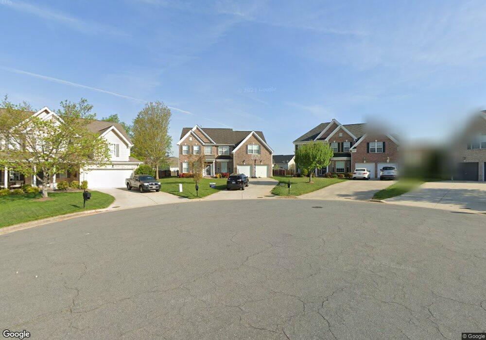
2975 Shady View Dr High Point, NC 27265
Bent Tree NeighborhoodEstimated Value: $504,683 - $546,000
4
Beds
3
Baths
3,943
Sq Ft
$133/Sq Ft
Est. Value
About This Home
This home is located at 2975 Shady View Dr, High Point, NC 27265 and is currently estimated at $523,171, approximately $132 per square foot. 2975 Shady View Dr is a home located in Guilford County with nearby schools including Southwest Elementary School, Southwest Guilford Middle School, and Southwest Guilford High School.
Ownership History
Date
Name
Owned For
Owner Type
Purchase Details
Closed on
Apr 15, 2006
Sold by
Parker & Orleans Homebuilders Inc
Bought by
Pemberton Keith G and Pemberton Nicole W
Current Estimated Value
Home Financials for this Owner
Home Financials are based on the most recent Mortgage that was taken out on this home.
Original Mortgage
$290,000
Outstanding Balance
$165,882
Interest Rate
6.28%
Mortgage Type
Fannie Mae Freddie Mac
Estimated Equity
$357,289
Create a Home Valuation Report for This Property
The Home Valuation Report is an in-depth analysis detailing your home's value as well as a comparison with similar homes in the area
Home Values in the Area
Average Home Value in this Area
Purchase History
| Date | Buyer | Sale Price | Title Company |
|---|---|---|---|
| Pemberton Keith G | $342,000 | None Available |
Source: Public Records
Mortgage History
| Date | Status | Borrower | Loan Amount |
|---|---|---|---|
| Open | Pemberton Keith G | $290,000 |
Source: Public Records
Tax History
| Year | Tax Paid | Tax Assessment Tax Assessment Total Assessment is a certain percentage of the fair market value that is determined by local assessors to be the total taxable value of land and additions on the property. | Land | Improvement |
|---|---|---|---|---|
| 2025 | $5,195 | $377,000 | $60,000 | $317,000 |
| 2024 | $5,195 | $377,000 | $60,000 | $317,000 |
| 2023 | $5,195 | $377,000 | $60,000 | $317,000 |
| 2022 | $5,082 | $377,000 | $60,000 | $317,000 |
| 2021 | $4,239 | $307,600 | $53,000 | $254,600 |
| 2020 | $4,123 | $299,200 | $53,000 | $246,200 |
| 2019 | $4,123 | $299,200 | $0 | $0 |
| 2018 | $4,102 | $299,200 | $0 | $0 |
| 2017 | $4,123 | $299,200 | $0 | $0 |
| 2016 | $3,843 | $274,000 | $0 | $0 |
| 2015 | $3,863 | $274,000 | $0 | $0 |
| 2014 | $3,929 | $274,000 | $0 | $0 |
Source: Public Records
Map
Nearby Homes
- 3025 Sycamore Point Trail
- 3114 Ironwood Flat Dr
- 3273 Alyssa Way
- 4358 Ashton Oaks Ct
- 4257 Pelican St
- 3477 Lilliefield Ln
- 4304 Hardin Ct
- 4301 Bradbury Way
- 2309 Faircloth Way
- 2459 Tannin Ct
- 4630 White Beard Rd
- 4710 Willowstone Dr
- 4712 Willowstone Dr
- 4711 Willowstone Dr
- 4714 Willowstone Dr
- 4713 Willowstone Dr
- 4716 Willowstone Dr
- 715 Piedmont Crossing Dr Unit 14
- 4715 Willowstone Dr
- 4722 Willowstone Dr
- 2979 Shady View Dr
- 2971 Shady View Dr
- 4408 Blackberry Brook Trail
- 4412 Blackberry Brook Trail
- 3104 Cranberry Ridge Dr
- 3108 Cranberry Ridge Dr
- 4404 Blackberry Brook Trail
- 3112 Cranberry Ridge Dr
- 2967 Shady View Dr
- 3100 Cranberry Ridge Dr
- 3116 Cranberry Ridge Dr
- 4400 Blackberry Brook Trail
- 2976 Shady View Dr
- 2972 Shady View Dr
- 3120 Cranberry Ridge Dr
- 3028 Plum River Cove
- 2968 Shady View Dr
- 3105 Cranberry Ridge Dr
- 3029 Sycamore Point Trail
- 4500 Blackberry Brook Trail
Your Personal Tour Guide
Ask me questions while you tour the home.