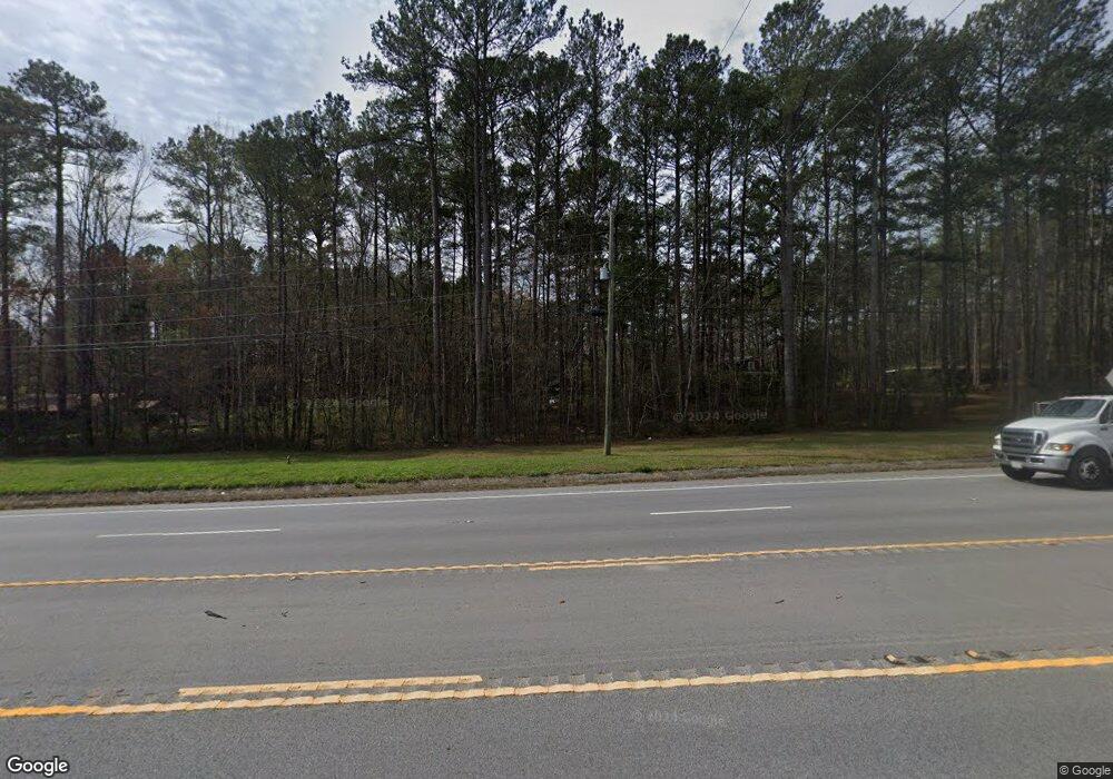
2976 Buchanan Hwy Cedartown, GA 30125
Estimated Value: $282,978 - $347,000
2
Beds
2
Baths
1,760
Sq Ft
$173/Sq Ft
Est. Value
About This Home
This home is located at 2976 Buchanan Hwy, Cedartown, GA 30125 and is currently estimated at $304,659, approximately $173 per square foot. 2976 Buchanan Hwy is a home located in Polk County.
Ownership History
Date
Name
Owned For
Owner Type
Purchase Details
Closed on
Feb 18, 2005
Sold by
Cheatwood John F
Bought by
Cheatwood John F and Cheatwood Don Robin
Current Estimated Value
Purchase Details
Closed on
Apr 16, 1982
Sold by
Stroup Charlie
Bought by
Cheatwood John F
Purchase Details
Closed on
Oct 16, 1981
Sold by
Lankford Otis R
Bought by
Stroup Charlie
Purchase Details
Closed on
Aug 24, 1981
Sold by
Haavie Katherine H
Bought by
Lankford Otis R
Purchase Details
Closed on
Apr 13, 1976
Bought by
Haavie Katherine H
Create a Home Valuation Report for This Property
The Home Valuation Report is an in-depth analysis detailing your home's value as well as a comparison with similar homes in the area
Home Values in the Area
Average Home Value in this Area
Purchase History
| Date | Buyer | Sale Price | Title Company |
|---|---|---|---|
| Cheatwood John F | -- | -- | |
| Cheatwood John F | -- | -- | |
| Stroup Charlie | -- | -- | |
| Lankford Otis R | -- | -- | |
| Haavie Katherine H | -- | -- |
Source: Public Records
Tax History Compared to Growth
Tax History
| Year | Tax Paid | Tax Assessment Tax Assessment Total Assessment is a certain percentage of the fair market value that is determined by local assessors to be the total taxable value of land and additions on the property. | Land | Improvement |
|---|---|---|---|---|
| 2024 | $1,725 | $84,515 | $27,944 | $56,571 |
| 2023 | $1,495 | $65,013 | $27,944 | $37,069 |
| 2022 | $1,159 | $50,818 | $18,629 | $32,189 |
| 2021 | $1,174 | $50,818 | $18,629 | $32,189 |
| 2020 | $1,176 | $50,818 | $18,629 | $32,189 |
| 2019 | $1,137 | $44,330 | $18,629 | $25,701 |
| 2018 | $1,168 | $42,392 | $18,629 | $23,763 |
| 2017 | $786 | $42,392 | $18,629 | $23,763 |
| 2016 | $648 | $37,322 | $14,783 | $22,539 |
| 2015 | $661 | $37,772 | $14,783 | $22,990 |
| 2014 | $665 | $37,772 | $14,783 | $22,990 |
Source: Public Records
Map
Nearby Homes
- 95 Wieuca Way
- 0 Buchanan Hwy Unit 10558945
- 0 Youngs Farm Rd Unit 24829378
- 0 Wieuca Way Unit 10614129
- 000 Wieuca Way
- 142 Acres On Judkin Mill Rd
- 00 Antioch Rd
- 00 Buchanan Hwy
- 766 Antioch Rd
- 4550 Buchanan Hwy
- 160 Tate Rd
- 1987 Buchanan Hwy
- 35 Old Mill Rd
- 497 Judkin Mill Rd
- 4267 Buchanan Hwy
- 0 Judkin Mill Rd Unit LotWP001 19369404
- 203 Cason Rd
- 0 Old Esom Hill Loop Unit 7654342
- 0 Old Esom Hill Loop Unit 10611077
- 966 Judkin Mill Rd
- 38 York Cir
- 3016 Buchanan Hwy
- 2967 Buchanan Hwy
- 32 York Cir
- 12 York Cir
- 54 York Cir
- 2975 Buchanan Hwy
- 60 York Cir
- 2900 Buchanan Hwy
- 2931 Buchanan Hwy
- 0 York Cir Unit 8125732
- 0 York Cir Unit 7580905
- 3045 Buchanan Hwy
- 86 York Cir
- 70 York Cir
- 2870 Buchanan Hwy
- 642 Huntington Rd
- 3041 Buchanan Hwy
- 2881 Buchanan Hwy
- 3041 0buchanan Hwy
