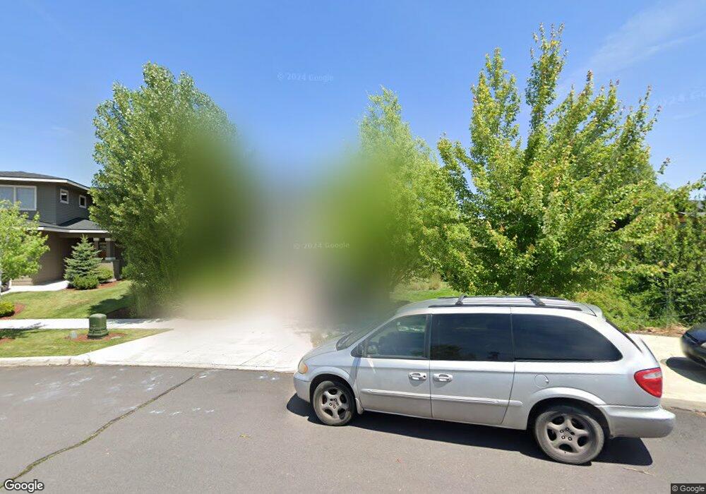
2976 NE Conners Ave Bend, OR 97701
Mountain View NeighborhoodEstimated Value: $687,147 - $768,000
3
Beds
3
Baths
2,540
Sq Ft
$289/Sq Ft
Est. Value
About This Home
This home is located at 2976 NE Conners Ave, Bend, OR 97701 and is currently estimated at $734,537, approximately $289 per square foot. 2976 NE Conners Ave is a home located in Deschutes County with nearby schools including Buckingham Elementary School, Pilot Butte Middle School, and Mountain View Senior High School.
Ownership History
Date
Name
Owned For
Owner Type
Purchase Details
Closed on
Oct 6, 2009
Sold by
Mattox Evelyn M
Bought by
Mattox Grant
Current Estimated Value
Purchase Details
Closed on
Dec 8, 2008
Sold by
Stone Bridge Homes Nw Llc
Bought by
Mattox Grant and Mattox Kathleen
Home Financials for this Owner
Home Financials are based on the most recent Mortgage that was taken out on this home.
Original Mortgage
$224,680
Outstanding Balance
$147,729
Interest Rate
6.03%
Mortgage Type
Unknown
Estimated Equity
$586,808
Create a Home Valuation Report for This Property
The Home Valuation Report is an in-depth analysis detailing your home's value as well as a comparison with similar homes in the area
Home Values in the Area
Average Home Value in this Area
Purchase History
| Date | Buyer | Sale Price | Title Company |
|---|---|---|---|
| Mattox Grant | -- | None Available | |
| Mattox Grant | $280,850 | First American Title |
Source: Public Records
Mortgage History
| Date | Status | Borrower | Loan Amount |
|---|---|---|---|
| Open | Mattox Grant | $224,680 |
Source: Public Records
Tax History Compared to Growth
Tax History
| Year | Tax Paid | Tax Assessment Tax Assessment Total Assessment is a certain percentage of the fair market value that is determined by local assessors to be the total taxable value of land and additions on the property. | Land | Improvement |
|---|---|---|---|---|
| 2024 | $4,108 | $245,340 | -- | -- |
| 2023 | $3,808 | $238,200 | $0 | $0 |
| 2022 | $3,553 | $224,540 | $0 | $0 |
| 2021 | $3,558 | $218,000 | $0 | $0 |
| 2020 | $3,376 | $218,000 | $0 | $0 |
| 2019 | $3,282 | $211,660 | $0 | $0 |
| 2018 | $3,189 | $205,500 | $0 | $0 |
| 2017 | $3,096 | $199,520 | $0 | $0 |
| 2016 | $2,952 | $193,710 | $0 | $0 |
| 2015 | $2,871 | $188,070 | $0 | $0 |
| 2014 | $2,786 | $182,600 | $0 | $0 |
Source: Public Records
Map
Nearby Homes
- 2966 NE Dogwood Dr
- 2943 NE Dogwood Dr
- 1938 NE Curtis Dr
- 62466 Eagle Rd
- 21347 Starling Dr
- 62453 Eagle Rd
- 2741 NE Laramie Way
- 21344 Pelican Dr
- 1878 NE Tombstone Way
- 62540 Eagle Rd
- 21376 Oakview Dr
- 21420 Belknap Dr
- 2324 NE Halston Ct
- 62713 Larkview Rd
- 2711 NE Yellow Ribbon Dr
- 21442 Belknap Dr
- 62570 NE Loomis Ln Unit Lot 54
- 62585 NE Loomis Ln Unit Lot 58
- 62716 Larkview Rd
- 62736 Larkview Rd
- 2968 NE Conners Ave
- 2963 NE Dogwood Dr
- 2959 NE Dogwood Dr
- 2967 NE Dogwood Dr
- 1964 NE Curtis Dr
- 2045 NE Altura Dr
- 2049 NE Altura Dr
- 2955 NE Dogwood Dr
- 2951 NE Dogwood Dr
- 2964 NE Conners Ave
- 2059 NE Altura Dr
- 3200 NE Zoe Ave
- 0 NE Dogwood Dr
- 2041 NE Altura Dr
- 2947 NE Dogwood Dr
- 2037 NE Altura Dr
- 2962 NE Dogwood Dr
- 2977 NE Dogwood Dr
- 2958 NE Dogwood Dr
- 2960 NE Conners Ave