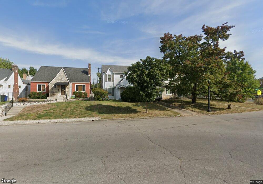
2976 Parkside Rd Columbus, OH 43204
Westgate NeighborhoodEstimated Value: $209,000 - $271,000
3
Beds
2
Baths
1,460
Sq Ft
$164/Sq Ft
Est. Value
About This Home
This home is located at 2976 Parkside Rd, Columbus, OH 43204 and is currently estimated at $239,613, approximately $164 per square foot. 2976 Parkside Rd is a home located in Franklin County with nearby schools including Westgate Alternative Elementary School, Westmoor Middle School, and West High School.
Ownership History
Date
Name
Owned For
Owner Type
Purchase Details
Closed on
Dec 19, 2007
Sold by
Hone Joanne and Estate Of Anne R Fisher
Bought by
Woodring Aaron E and Cline Christina L
Current Estimated Value
Home Financials for this Owner
Home Financials are based on the most recent Mortgage that was taken out on this home.
Original Mortgage
$79,900
Outstanding Balance
$49,201
Interest Rate
6.13%
Mortgage Type
New Conventional
Estimated Equity
$190,412
Purchase Details
Closed on
May 20, 1969
Bought by
Fisher Anne R
Create a Home Valuation Report for This Property
The Home Valuation Report is an in-depth analysis detailing your home's value as well as a comparison with similar homes in the area
Home Values in the Area
Average Home Value in this Area
Purchase History
| Date | Buyer | Sale Price | Title Company |
|---|---|---|---|
| Woodring Aaron E | $79,900 | Title Co Lt | |
| Fisher Anne R | -- | -- |
Source: Public Records
Mortgage History
| Date | Status | Borrower | Loan Amount |
|---|---|---|---|
| Open | Woodring Aaron E | $79,900 |
Source: Public Records
Tax History
| Year | Tax Paid | Tax Assessment Tax Assessment Total Assessment is a certain percentage of the fair market value that is determined by local assessors to be the total taxable value of land and additions on the property. | Land | Improvement |
|---|---|---|---|---|
| 2025 | $2,912 | $64,890 | $21,000 | $43,890 |
| 2024 | $2,912 | $64,890 | $21,000 | $43,890 |
| 2023 | $2,875 | $64,890 | $21,000 | $43,890 |
| 2022 | $2,171 | $41,860 | $6,720 | $35,140 |
| 2021 | $2,175 | $41,860 | $6,720 | $35,140 |
| 2020 | $2,178 | $41,860 | $6,720 | $35,140 |
| 2019 | $2,140 | $35,280 | $5,600 | $29,680 |
| 2018 | $1,993 | $35,280 | $5,600 | $29,680 |
| 2017 | $2,139 | $35,280 | $5,600 | $29,680 |
| 2016 | $2,038 | $30,770 | $6,790 | $23,980 |
| 2015 | $1,850 | $30,770 | $6,790 | $23,980 |
| 2014 | $1,855 | $30,770 | $6,790 | $23,980 |
| 2013 | $1,016 | $34,160 | $7,525 | $26,635 |
Source: Public Records
Map
Nearby Homes
- 457 Guernsey Ave
- 3001 Wicklow Rd
- 363 S Chase Ave
- 327 S Chase Ave
- 620 Salisbury Rd
- 2835 Sullivant Ave
- 570 S Westgate Ave
- 570 Wiltshire Rd
- 2845 Fremont St
- 642 S Roys Ave
- 406 S Hague Ave Unit 6
- 396 S Hague Ave
- 640 Chestershire Rd
- 361 S Harris Ave Unit 361
- 623 S Harris Ave
- 354 S Harris Ave
- 338-340 S Harris Ave
- 2715 Sullivant Ave
- 448 S Warren Ave
- 500 S Warren Ave
- 2970 Parkside Rd
- 2970 Parkside Rd
- 2982 Parkside Rd
- 2988 Parkside Rd
- 459 Guernsey Ave
- 460 Binns Blvd
- 456 Binns Blvd
- 493 Binns Blvd
- 451 Guernsey Ave
- 2965 Parkside Rd
- 450 Binns Blvd
- 501 Binns Blvd
- 445 Guernsey Ave
- 502 Binns Blvd
- 444 Binns Blvd
- 507 Binns Blvd
- 477 Binns Blvd
- 441 Guernsey Ave
- 471 Binns Blvd
- 508 Binns Blvd
Your Personal Tour Guide
Ask me questions while you tour the home.