2976 Stanton Rd Oxford, MI 48371
Estimated Value: $800,000 - $842,000
4
Beds
4
Baths
2,783
Sq Ft
$294/Sq Ft
Est. Value
About This Home
This home is located at 2976 Stanton Rd, Oxford, MI 48371 and is currently estimated at $816,947, approximately $293 per square foot. 2976 Stanton Rd is a home located in Oakland County with nearby schools including Paint Creek Elementary School, Scripps Middle School, and Lake Orion Community High School.
Ownership History
Date
Name
Owned For
Owner Type
Purchase Details
Closed on
Feb 15, 2005
Sold by
Robinson Kenneth F and Robinson Marilyn K
Bought by
Freeman Edward and Freeman Wendy
Current Estimated Value
Home Financials for this Owner
Home Financials are based on the most recent Mortgage that was taken out on this home.
Original Mortgage
$436,000
Outstanding Balance
$216,563
Interest Rate
5.71%
Mortgage Type
Purchase Money Mortgage
Estimated Equity
$600,384
Create a Home Valuation Report for This Property
The Home Valuation Report is an in-depth analysis detailing your home's value as well as a comparison with similar homes in the area
Home Values in the Area
Average Home Value in this Area
Purchase History
| Date | Buyer | Sale Price | Title Company |
|---|---|---|---|
| Freeman Edward | $545,000 | -- |
Source: Public Records
Mortgage History
| Date | Status | Borrower | Loan Amount |
|---|---|---|---|
| Open | Freeman Edward | $436,000 | |
| Closed | Freeman Edward | $19,000 |
Source: Public Records
Tax History
| Year | Tax Paid | Tax Assessment Tax Assessment Total Assessment is a certain percentage of the fair market value that is determined by local assessors to be the total taxable value of land and additions on the property. | Land | Improvement |
|---|---|---|---|---|
| 2025 | $7,502 | $438,270 | $0 | $0 |
| 2024 | $4,674 | $389,240 | $0 | $0 |
| 2023 | $4,458 | $359,350 | $0 | $0 |
| 2022 | $6,621 | $328,990 | $0 | $0 |
| 2021 | $6,333 | $311,650 | $0 | $0 |
| 2020 | $4,085 | $302,110 | $0 | $0 |
| 2019 | $5,932 | $285,560 | $0 | $0 |
| 2018 | $5,821 | $251,620 | $0 | $0 |
| 2017 | $5,693 | $238,580 | $0 | $0 |
| 2016 | $5,682 | $220,790 | $0 | $0 |
| 2015 | -- | $207,470 | $0 | $0 |
| 2014 | -- | $194,440 | $0 | $0 |
| 2011 | -- | $158,840 | $0 | $0 |
Source: Public Records
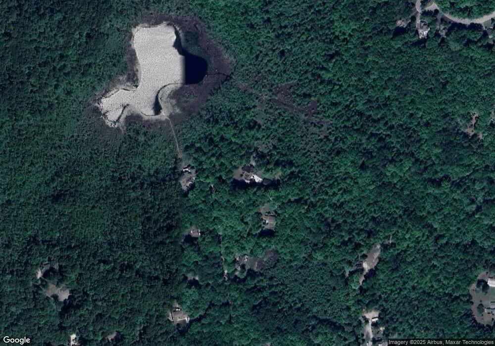
Map
Nearby Homes
- 2273 Somerville Dr
- 1 Pinery Ct
- 767 Pinery Blvd
- 2140 W Drahner Rd
- 967 Keith St
- 00 Coats Rd
- 1847 High Pointe Dr
- 1614 High Pointe Dr
- 146 Crosbie Ct
- 1906 Indianwood Rd
- 192 Greenan Ln
- 3230 Park Meadow Dr
- 271 Greenan Ln
- 1315 Beemer Ct
- 1904 Sandy Shores Dr
- 1932 Sandy Shores Dr
- 1974 Sandy Shores Dr
- 1087 Watersmeet Ct
- 631 Drahner Cir
- 576 Brookside Ct
- 2950 Stanton Rd
- 3000 Stanton Rd
- 3000 Stanton Rd
- 2930 Stanton Rd
- 3020 Stanton Rd
- 2852 Stanton Rd
- 3050 Stanton Rd Unit Bldg-Unit
- 3050 Stanton Rd
- 2912 Stanton Rd
- 2890 Stanton Rd
- 3070 Stanton Rd
- 3070 Stanton Rd
- 3070 Stanton Rd
- 3070 Stanton Rd
- 3090 Stanton Rd
- 2870 Stanton Rd
- 0 Pinery Ct Unit 211117896
- 0 Pinery Ct Unit 211117899
- 0 Pinery Ct Unit 212070126
- 0 Pinery Ct Unit 212070125