2977 Foster Rd Buford, GA 30519
Estimated Value: $414,000 - $516,000
4
Beds
3
Baths
2,144
Sq Ft
$214/Sq Ft
Est. Value
About This Home
This home is located at 2977 Foster Rd, Buford, GA 30519 and is currently estimated at $459,019, approximately $214 per square foot. 2977 Foster Rd is a home with nearby schools including Harmony Elementary School and Glenn C. Jones Middle School.
Ownership History
Date
Name
Owned For
Owner Type
Purchase Details
Closed on
Feb 6, 2004
Sold by
Foster Rd Inc
Bought by
Holman Stephen A and Holman T
Current Estimated Value
Home Financials for this Owner
Home Financials are based on the most recent Mortgage that was taken out on this home.
Original Mortgage
$83,000
Interest Rate
5.85%
Mortgage Type
New Conventional
Purchase Details
Closed on
Aug 21, 2000
Sold by
Pass Kenneth C
Bought by
Davis Marty
Create a Home Valuation Report for This Property
The Home Valuation Report is an in-depth analysis detailing your home's value as well as a comparison with similar homes in the area
Home Values in the Area
Average Home Value in this Area
Purchase History
| Date | Buyer | Sale Price | Title Company |
|---|---|---|---|
| Holman Stephen A | $253,500 | -- | |
| Davis Marty | $20,500 | -- |
Source: Public Records
Mortgage History
| Date | Status | Borrower | Loan Amount |
|---|---|---|---|
| Closed | Holman Stephen A | $83,000 |
Source: Public Records
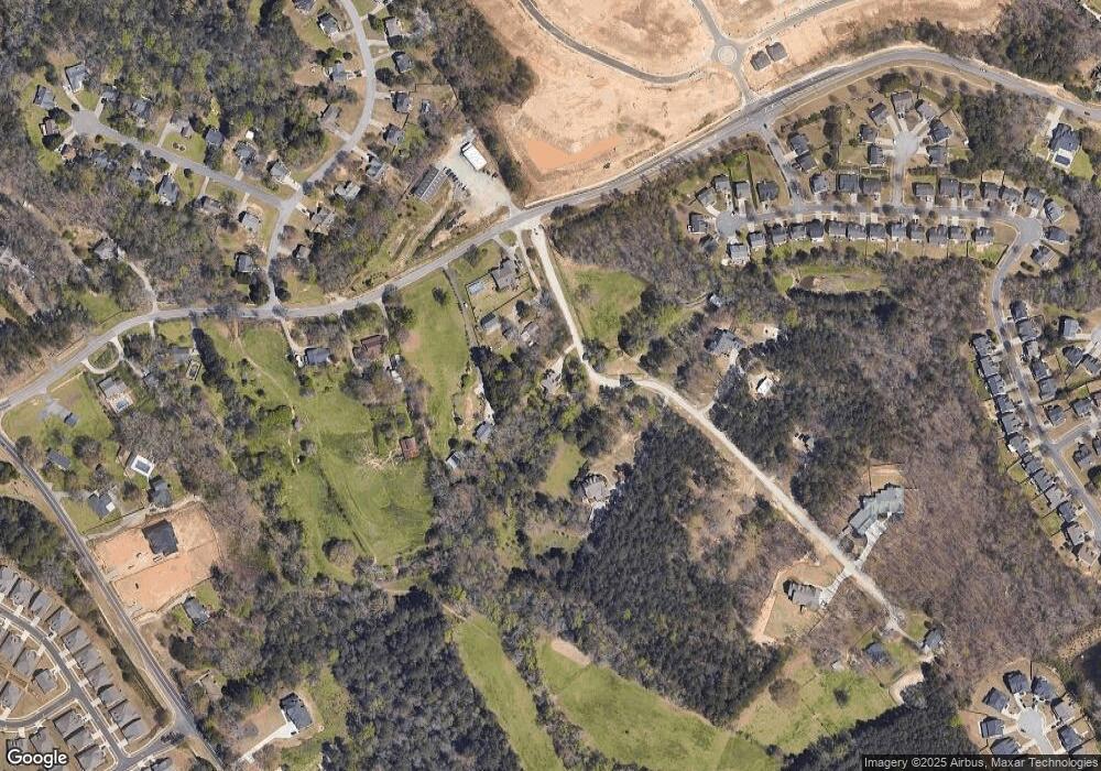
Map
Nearby Homes
- 3721 Bogan Mill Rd
- 3671 Hamilton Mill Rd
- 3561 Bogan Mill Rd
- 3570 Bogan Mill Rd NE
- 3200 Golden Spring Dr
- 3848 Heirloom Loop Ct
- 3861 Heirloom Loop Ct NE
- 2716 Hamilton Mill Rd
- 3525 Hamilton Mill Rd
- 3713 Golden Ive Dr
- 3458 Crayton Glen Way
- 3976 Woodruff Park Way Unit 1
- 3488 Hamilton Mill Rd
- 3075 Andover Trail
- 3761 Andover Way
- 2705 Chandler Grove Dr
- 3970 Piper Glen Dr
- 2710 Kilgore Rd
- 3775 Rolling Creek Dr
- 3363 Old Oaks Rd
- 2975 Bart Johnson Rd
- 2931 Bart Johnson Rd
- 2979 Bart Johnson Rd
- 2939 Bart Johnson Rd
- 2939 Bart Johnson Rd Unit 1
- 2983 Bart Johnson Rd
- 2891 Bart Johnson Rd
- 2985 Foster Rd
- 3930 Bogan Mill Rd
- 3941 Bogan Mill Rd
- 3930 Bogan Mill Rd NE
- 3920 Bogan Mill Rd
- 2881 Bart Johnson Rd
- 3910 Bogan Mill Rd
- 3921 Bogan Mill Rd
- 3921 Bogan Mill Rd NE
- 3755 Byrnwycke Dr
- 3785 Byrnwycke Dr
- 3795 Byrnwycke Dr
- 3900 Bogan Mill Rd
Your Personal Tour Guide
Ask me questions while you tour the home.