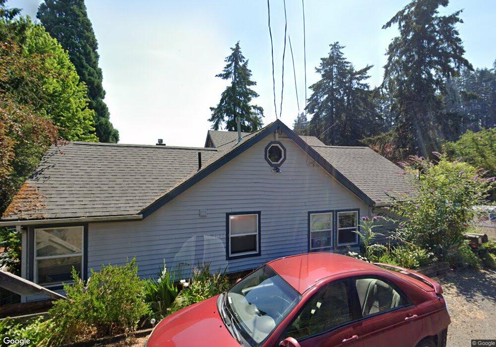
2977 McKendrick St Eugene, OR 97405
Crest Drive NeighborhoodEstimated Value: $573,253 - $701,000
3
Beds
3
Baths
2,387
Sq Ft
$264/Sq Ft
Est. Value
About This Home
This home is located at 2977 McKendrick St, Eugene, OR 97405 and is currently estimated at $629,313, approximately $263 per square foot. 2977 McKendrick St is a home located in Lane County with nearby schools including Adams Elementary School, Arts And Technology Academy At Jefferson, and Churchill High School.
Ownership History
Date
Name
Owned For
Owner Type
Purchase Details
Closed on
Aug 17, 2016
Sold by
Walsh Kieran Patrick
Bought by
Alexander Margaret E
Current Estimated Value
Home Financials for this Owner
Home Financials are based on the most recent Mortgage that was taken out on this home.
Original Mortgage
$275,000
Outstanding Balance
$218,322
Interest Rate
3.41%
Mortgage Type
New Conventional
Estimated Equity
$410,991
Purchase Details
Closed on
Apr 14, 2014
Sold by
Walsh Kieran P and Walsh Ardemis K
Bought by
Walsh Kieran Patrick and Kieran Patrick Walsh Living Trust
Create a Home Valuation Report for This Property
The Home Valuation Report is an in-depth analysis detailing your home's value as well as a comparison with similar homes in the area
Home Values in the Area
Average Home Value in this Area
Purchase History
| Date | Buyer | Sale Price | Title Company |
|---|---|---|---|
| Alexander Margaret E | $375,000 | Cascade Title Company | |
| Walsh Kieran Patrick | -- | None Available |
Source: Public Records
Mortgage History
| Date | Status | Borrower | Loan Amount |
|---|---|---|---|
| Open | Alexander Margaret E | $275,000 |
Source: Public Records
Tax History
| Year | Tax Paid | Tax Assessment Tax Assessment Total Assessment is a certain percentage of the fair market value that is determined by local assessors to be the total taxable value of land and additions on the property. | Land | Improvement |
|---|---|---|---|---|
| 2025 | $6,067 | $311,376 | -- | -- |
| 2024 | $5,991 | $302,307 | -- | -- |
| 2023 | $5,991 | $293,502 | $0 | $0 |
| 2022 | $5,613 | $284,954 | $0 | $0 |
| 2021 | $5,272 | $276,655 | $0 | $0 |
| 2020 | $5,290 | $268,598 | $0 | $0 |
| 2019 | $5,095 | $260,775 | $0 | $0 |
| 2018 | $4,673 | $245,806 | $0 | $0 |
| 2017 | $4,401 | $245,806 | $0 | $0 |
| 2016 | $4,307 | $238,647 | $0 | $0 |
| 2015 | $4,163 | $231,696 | $0 | $0 |
| 2014 | $4,100 | $224,948 | $0 | $0 |
Source: Public Records
Map
Nearby Homes
- 1783 Graham Dr
- 0 Mclean Blvd Unit 24671448
- 0 Mclean Blvd Unit 697374759
- 1955 W 28th Ave
- 2850 Garfield St
- 2673 Garfield St
- 3023 Ashley Loop
- 3093 Soloman Loop
- 2225 W 28th Ave
- 2030 W 34th Ave
- 2037 Morning View Dr
- 2650 Taylor St
- 1960 W 25th Ave
- 2315 W 28th Ave
- 2323 W 28th Ave
- 2455 W 29th Ave
- 3160 Whitten Dr
- 865 W 28th Ave
- 2572 W 28th Ave
- 2634 Suncrest Ave
- 2955 McKendrick St
- 1895 Mclean Blvd
- 1775 Mclean Blvd
- 3010 McKendrick St
- 3020 McKendrick St
- 1760 Graham Dr
- 1910 Graham Dr
- 3050 McKendrick St
- 1740 Graham Dr
- 2945 McKendrick St
- 3060 McKendrick St
- 1755 Mclean Blvd
- 1930 Graham Dr
- 1730 Graham Dr
- 1927 Mclean Blvd
- 1735 Mclean Blvd
- 2944 McKendrick St
- 1950 Graham Dr
- 1755 Graham Dr
- 1715 Mclean Blvd
Your Personal Tour Guide
Ask me questions while you tour the home.