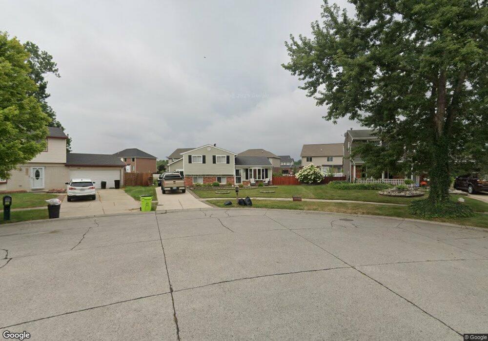
29790 Cambridge St Flat Rock, MI 48134
Estimated Value: $248,180 - $266,000
3
Beds
2
Baths
1,164
Sq Ft
$220/Sq Ft
Est. Value
About This Home
This home is located at 29790 Cambridge St, Flat Rock, MI 48134 and is currently estimated at $256,545, approximately $220 per square foot. 29790 Cambridge St is a home located in Wayne County with nearby schools including Ethel C. Bobcean Elementary School, John M. Barnes Elementary School, and Thomas Simpson Middle School.
Ownership History
Date
Name
Owned For
Owner Type
Purchase Details
Closed on
Nov 29, 2021
Sold by
Kozlowski Richard and Kozlowski Carrie
Bought by
Kozlowski Carrie
Current Estimated Value
Home Financials for this Owner
Home Financials are based on the most recent Mortgage that was taken out on this home.
Original Mortgage
$100,000
Outstanding Balance
$78,225
Interest Rate
2.37%
Mortgage Type
New Conventional
Estimated Equity
$178,320
Purchase Details
Closed on
Jul 1, 2010
Sold by
Wells Fargo Bank Na
Bought by
Federal National Mortgage Association
Purchase Details
Closed on
Jun 30, 2010
Sold by
Holbrook Nancy G and Holbrook Robert A
Bought by
Wells Fargo Bank Na
Create a Home Valuation Report for This Property
The Home Valuation Report is an in-depth analysis detailing your home's value as well as a comparison with similar homes in the area
Home Values in the Area
Average Home Value in this Area
Purchase History
| Date | Buyer | Sale Price | Title Company |
|---|---|---|---|
| Kozlowski Carrie | -- | None Available | |
| Federal National Mortgage Association | -- | None Available | |
| Wells Fargo Bank Na | $70,200 | None Available |
Source: Public Records
Mortgage History
| Date | Status | Borrower | Loan Amount |
|---|---|---|---|
| Open | Kozlowski Carrie | $100,000 |
Source: Public Records
Tax History Compared to Growth
Tax History
| Year | Tax Paid | Tax Assessment Tax Assessment Total Assessment is a certain percentage of the fair market value that is determined by local assessors to be the total taxable value of land and additions on the property. | Land | Improvement |
|---|---|---|---|---|
| 2025 | $3,062 | $116,900 | $0 | $0 |
| 2024 | $3,062 | $110,100 | $0 | $0 |
| 2023 | $2,920 | $98,200 | $0 | $0 |
| 2022 | $3,535 | $88,100 | $0 | $0 |
| 2021 | $3,196 | $81,400 | $0 | $0 |
| 2020 | $3,153 | $76,000 | $0 | $0 |
| 2019 | $3,094 | $65,700 | $0 | $0 |
| 2018 | $2,405 | $64,200 | $0 | $0 |
| 2017 | $1,268 | $62,200 | $0 | $0 |
| 2016 | $2,913 | $59,200 | $0 | $0 |
| 2015 | $5,357 | $58,000 | $0 | $0 |
| 2013 | $4,628 | $46,600 | $0 | $0 |
| 2012 | $2,380 | $45,200 | $11,700 | $33,500 |
Source: Public Records
Map
Nearby Homes
- 29389 Franklin Cir
- 23772 Koszuta
- 30563 Bradbury Dr
- 0 Woodruff Unit 20251041652
- VL Gibraltar Rd
- 23965 Gibraltar Rd
- 30026 Huron Meadows Dr
- 24755 Gibraltar Rd
- 29321 Tamarack Dr
- 001 Woodruff Rd
- 24680 Huron River Dr
- 24664 E Huron River Dr
- 24641 Parklane Dr
- 29483 Aspen Dr
- 23135 Candace Dr
- 29115 Magnolia Dr
- 23469 Astrid Ln
- 0 Huron River Dr Unit 20251015696
- 31666 E Ditner Dr
- 31694 Olmstead Rd
- 23367 Whitby Ave
- 29774 Cambridge St
- 23359 Whitby Ave
- 29783 Bradbury Dr
- 29811 Bradbury Dr
- 23410 Meadows Ave
- 29755 Bradbury Dr
- 29764 Cambridge St
- 23396 Meadows Ave
- 23349 Whitby Ave
- 23380 Meadows Ave
- 29727 Bradbury Dr
- 29771 Cambridge St
- 29839 Bradbury Dr
- 29746 Cambridge St
- 23364 Meadows Ave
- 29699 Bradbury Dr
- 29780 Bradbury Dr
- 23335 Whitby Ave
- 29751 Cambridge St