Estimated Value: $758,678 - $1,017,000
3
Beds
2
Baths
1,363
Sq Ft
$634/Sq Ft
Est. Value
About This Home
This home is located at 29794 N Wheatridge Rd, Athol, ID 83801 and is currently estimated at $864,559, approximately $634 per square foot. 29794 N Wheatridge Rd is a home located in Kootenai County with nearby schools including Athol Elementary School, Timberlake Junior High School, and Timberlake Senior High School.
Ownership History
Date
Name
Owned For
Owner Type
Purchase Details
Closed on
Feb 15, 2017
Sold by
Blanchard Max C and Blanchard Sandrale
Bought by
Schlotthauer Brent G and The Max And Sandy Blanchard Ir
Current Estimated Value
Purchase Details
Closed on
Nov 25, 2014
Sold by
Schnider Michael H and Schnider Kimberly D
Bought by
Blacnhard Max C and Blacnhard Sandrale
Create a Home Valuation Report for This Property
The Home Valuation Report is an in-depth analysis detailing your home's value as well as a comparison with similar homes in the area
Home Values in the Area
Average Home Value in this Area
Purchase History
| Date | Buyer | Sale Price | Title Company |
|---|---|---|---|
| Schlotthauer Brent G | -- | None Available | |
| Blacnhard Max C | -- | First American Title Company |
Source: Public Records
Tax History Compared to Growth
Tax History
| Year | Tax Paid | Tax Assessment Tax Assessment Total Assessment is a certain percentage of the fair market value that is determined by local assessors to be the total taxable value of land and additions on the property. | Land | Improvement |
|---|---|---|---|---|
| 2025 | $1,694 | $581,280 | $188,970 | $392,310 |
| 2024 | $1,694 | $586,486 | $191,086 | $395,400 |
| 2023 | $1,694 | $605,199 | $209,799 | $395,400 |
| 2022 | $2,043 | $624,025 | $228,625 | $395,400 |
| 2021 | $2,013 | $409,944 | $131,589 | $278,355 |
| 2020 | $2,043 | $347,074 | $118,624 | $228,450 |
| 2019 | $2,102 | $320,855 | $101,005 | $219,850 |
| 2018 | $2,125 | $296,282 | $88,262 | $208,020 |
| 2017 | $1,728 | $281,313 | $100,533 | $180,780 |
| 2016 | $1,548 | $261,950 | $85,460 | $176,490 |
| 2015 | $1,240 | $207,789 | $27,919 | $179,870 |
| 2013 | $1,564 | $233,376 | $60,976 | $172,400 |
Source: Public Records
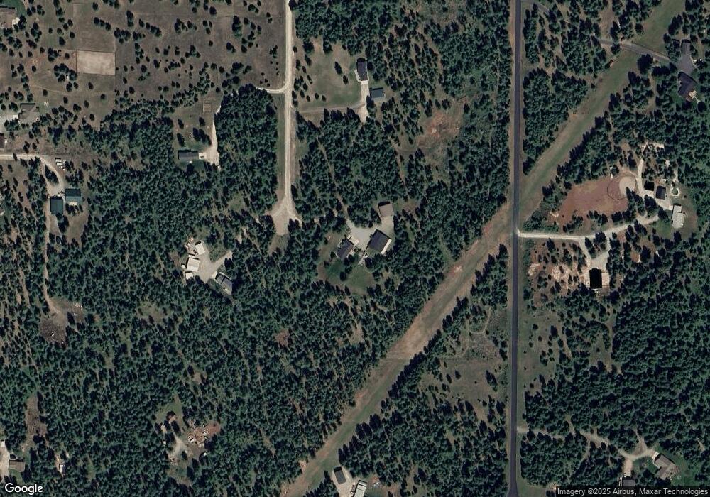
Map
Nearby Homes
- 30267 N Wheatridge Rd
- 30296 N Wheatridge Rd
- 30763 Sienna Loop
- 5 Ellington Ct
- 29222 N 1st St
- Lot11 Blk1 Leonard Loop
- 29475 N Miller Rd
- NKA N Targhee St
- 28990 N Miller Rd
- 6161 E Menser Ave
- 29913 N Red Fish St
- 6025 E Grove Ave
- 2128 E Shoshone Ave
- 4308 E Rosemont Dr
- 28807 U S Route 95
- 2996 E Briar Ct
- NKA Sylvan
- L1B1 Sylvan Rd
- Lot 1 Dawson Lp
- Lot 15 Asulkan St
- 29759 N Wheatridge Rd
- 29884 N Wheatridge Rd
- 29837 N Wheatridge Rd
- 3993 E Custer St
- 31115 N Sienna Loop
- 1775 N Greystone Rd
- 200 N Greystone Rd
- 2300 N Greystone Rd
- 1800 N Greystone Rd
- 400 N Greystone Rd
- 7700 N Greystone Rd
- 30064 N Wheatridge Rd
- 30095 N Wheatridge Rd
- 4303 Custer St
- 0 Forest View Unit 6-11091
- 0 Forest View Unit 5-1317
- 0 Forrest View Dr
- 0 Forest View Unit 3108
- 0 Forest View Unit 98-8405
- 0 Forest View Unit 97-6212