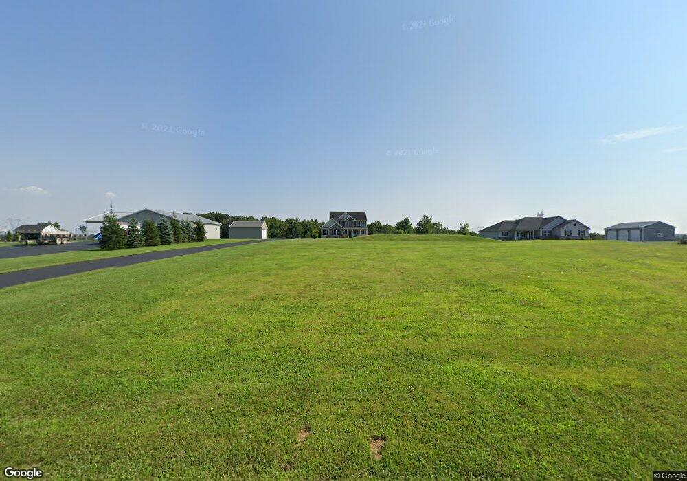
298 Awol Rd Jonestown, PA 17038
Estimated Value: $536,000
3
Beds
3
Baths
2,200
Sq Ft
$244/Sq Ft
Est. Value
About This Home
This home is located at 298 Awol Rd, Jonestown, PA 17038 and is currently estimated at $536,000, approximately $243 per square foot. 298 Awol Rd is a home located in Lebanon County with nearby schools including Northern Lebanon Senior High School, Blue Mountain Christian School, and Blue Mountain Christian Day School.
Ownership History
Date
Name
Owned For
Owner Type
Purchase Details
Closed on
Nov 28, 2007
Sold by
Stichler Ray R and Stichler Susan W
Bought by
Callahan Robert W and Callahan Janice M
Current Estimated Value
Home Financials for this Owner
Home Financials are based on the most recent Mortgage that was taken out on this home.
Original Mortgage
$383,175
Outstanding Balance
$234,715
Interest Rate
5%
Mortgage Type
Construction
Estimated Equity
$301,285
Create a Home Valuation Report for This Property
The Home Valuation Report is an in-depth analysis detailing your home's value as well as a comparison with similar homes in the area
Home Values in the Area
Average Home Value in this Area
Purchase History
| Date | Buyer | Sale Price | Title Company |
|---|---|---|---|
| Callahan Robert W | $180,000 | None Available |
Source: Public Records
Mortgage History
| Date | Status | Borrower | Loan Amount |
|---|---|---|---|
| Open | Callahan Robert W | $383,175 |
Source: Public Records
Tax History Compared to Growth
Tax History
| Year | Tax Paid | Tax Assessment Tax Assessment Total Assessment is a certain percentage of the fair market value that is determined by local assessors to be the total taxable value of land and additions on the property. | Land | Improvement |
|---|---|---|---|---|
| 2025 | $6,683 | $304,200 | $66,700 | $237,500 |
| 2024 | $8,272 | $426,100 | $188,600 | $237,500 |
| 2023 | $8,272 | $426,100 | $188,600 | $237,500 |
| 2022 | $8,004 | $426,100 | $188,600 | $237,500 |
| 2021 | $7,519 | $426,100 | $188,600 | $237,500 |
| 2020 | $7,373 | $426,100 | $188,600 | $237,500 |
| 2019 | $7,258 | $426,100 | $188,600 | $237,500 |
| 2018 | $7,090 | $426,100 | $188,600 | $237,500 |
| 2017 | $1,071 | $426,100 | $188,600 | $237,500 |
| 2016 | $6,879 | $426,100 | $188,600 | $237,500 |
| 2015 | -- | $426,100 | $188,600 | $237,500 |
| 2014 | -- | $426,100 | $188,600 | $237,500 |
Source: Public Records
Map
Nearby Homes
- 60 Bordnersville Rd
- 2963 Pennsylvania 72
- 0 Fisher Ave
- 19 Racehorse Dr
- Lot #49 Ss Shepherd St
- 507 Shepherd St
- 2103 Thompson Ave
- 8 Spruce Ln
- 472 S Lancaster St Unit 8
- 2005 Yordys Bridge Rd
- 2303 Quarry Rd
- 11 Wolfe Dr
- 0 Darkes Rd Unit PALN2019172
- 22 Wildflower Cir
- 3204 State Route 72
- 2255 Quarry Rd
- 2301 Quarry Rd
- 1899 State Route 72 N
- 1735 Quarry Rd
- 230 Monroe Valley Dr