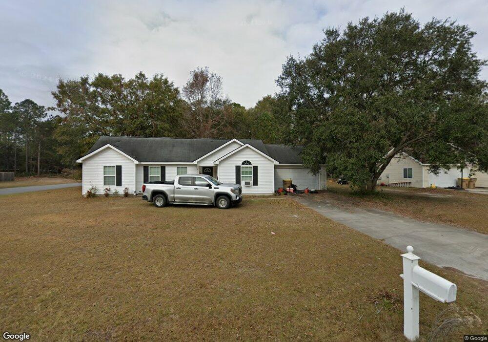
298 Barrister Cir Guyton, GA 31312
Estimated Value: $270,000 - $290,000
Studio
1
Bath
1,219
Sq Ft
$232/Sq Ft
Est. Value
About This Home
This home is located at 298 Barrister Cir, Guyton, GA 31312 and is currently estimated at $282,435, approximately $231 per square foot. 298 Barrister Cir is a home located in Effingham County with nearby schools including Guyton Elementary School, Effingham County Middle School, and Effingham County High School.
Ownership History
Date
Name
Owned For
Owner Type
Purchase Details
Closed on
Sep 29, 2006
Sold by
Mike Stewart Construction
Bought by
Crosby William R
Current Estimated Value
Home Financials for this Owner
Home Financials are based on the most recent Mortgage that was taken out on this home.
Original Mortgage
$104,560
Outstanding Balance
$61,075
Interest Rate
6.36%
Mortgage Type
New Conventional
Estimated Equity
$221,360
Create a Home Valuation Report for This Property
The Home Valuation Report is an in-depth analysis detailing your home's value as well as a comparison with similar homes in the area
Home Values in the Area
Average Home Value in this Area
Purchase History
We collect this data history from publicly available records. To have your information removed, we recommend requesting removal directly through your county’s website.
| Date | Buyer | Sale Price | Title Company |
|---|---|---|---|
| Crosby William R | $130,700 | -- |
Source: Public Records
Mortgage History
We collect this data history from publicly available records. To have your information removed, we recommend requesting removal directly through your county’s website.
| Date | Status | Borrower | Loan Amount |
|---|---|---|---|
| Open | Crosby William R | $104,560 |
Source: Public Records
Tax History
| Year | Tax Paid | Tax Assessment Tax Assessment Total Assessment is a certain percentage of the fair market value that is determined by local assessors to be the total taxable value of land and additions on the property. | Land | Improvement |
|---|---|---|---|---|
| 2025 | $3,660 | $107,166 | $22,800 | $84,366 |
| 2024 | $3,660 | $101,467 | $22,800 | $78,667 |
| 2023 | $2,384 | $75,680 | $17,600 | $58,080 |
| 2022 | $2,184 | $63,838 | $14,800 | $49,038 |
| 2021 | $1,981 | $56,837 | $14,000 | $42,837 |
| 2020 | $1,936 | $56,022 | $12,000 | $44,022 |
| 2019 | $1,714 | $48,084 | $10,760 | $37,324 |
| 2018 | $1,651 | $45,481 | $10,760 | $34,721 |
| 2017 | $1,660 | $45,481 | $10,760 | $34,721 |
| 2016 | $1,652 | $47,546 | $10,000 | $37,546 |
| 2015 | -- | $36,881 | $2,400 | $34,481 |
| 2014 | -- | $36,529 | $2,048 | $34,481 |
| 2013 | -- | $39,600 | $5,120 | $34,480 |
Source: Public Records
Map
Nearby Homes
- 282 Barrister Cir
- 228 Southern Charm Way
- 236 Southern Charm Way
- 207 Southern Charm Way
- 520 Glory Dr
- 321 Saranac Way
- 115 Indica Place
- 325 Formosa Dr
- 513 Adelante Ln
- 102 Keylime Ln
- 102 Serenoa Dr
- 1919 Courthouse Rd
- 404 Sir Arthur Ct
- 228 Wild Rose Dr
- 225 Wild Rose Dr
- 434 Sir Arthur Ct
- 106 Conifer Dr
- 205 Wild Rose Dr
- 119 Hunters Chase Dr Unit Lot 62
- 119 Hunters Chase Dr
- 300 Barrister Cir
- 294 Barrister Cir
- 302 Barrister Cir
- 101 Dailey Dr
- 301 Barrister Cir
- 97 Dailey Dr
- 95 Dailey Dr
- 292 Barrister Cir
- 299 Barrister Cir
- 103 Dailey Dr
- 304 Barrister Cir
- 303 Barrister Cir
- 93 Dailey Dr
- 297 Barrister Cir
- 105 Dailey Dr
- 290 Barrister Cir
- 305 Barrister Cir
- 306 Barrister Cir
- 91 Dailey Dr
- 295 Barrister Cir
Your Personal Tour Guide
Ask me questions while you tour the home.