298 Brayton Point Rd Westport, MA 02790
Acoaxet NeighborhoodEstimated Value: $2,164,000 - $2,741,000
5
Beds
6
Baths
3,457
Sq Ft
$690/Sq Ft
Est. Value
About This Home
This home is located at 298 Brayton Point Rd, Westport, MA 02790 and is currently estimated at $2,385,082, approximately $689 per square foot. 298 Brayton Point Rd is a home located in Bristol County with nearby schools including Alice A. Macomber Primary School, Westport Elementary School, and Westport Middle-High School.
Ownership History
Date
Name
Owned For
Owner Type
Purchase Details
Closed on
Jan 4, 2008
Sold by
Cd Rt and Kaplan Cynthia S
Bought by
Wyper George U and Wyper Susan C
Current Estimated Value
Purchase Details
Closed on
Oct 28, 2003
Sold by
Kaplan Cynthia S and Levitt David
Bought by
Cd Rt and Kaplan Cynthia S
Home Financials for this Owner
Home Financials are based on the most recent Mortgage that was taken out on this home.
Original Mortgage
$650,000
Interest Rate
6.15%
Mortgage Type
Purchase Money Mortgage
Purchase Details
Closed on
Dec 12, 2001
Sold by
Brayton Pt Nt
Bought by
Kaplan Cynthia S and Levitt David
Home Financials for this Owner
Home Financials are based on the most recent Mortgage that was taken out on this home.
Original Mortgage
$546,000
Interest Rate
6.6%
Mortgage Type
Purchase Money Mortgage
Create a Home Valuation Report for This Property
The Home Valuation Report is an in-depth analysis detailing your home's value as well as a comparison with similar homes in the area
Home Values in the Area
Average Home Value in this Area
Purchase History
| Date | Buyer | Sale Price | Title Company |
|---|---|---|---|
| Wyper George U | $2,167,500 | -- | |
| Cd Rt | -- | -- | |
| Kaplan Cynthia S | -- | -- | |
| Kaplan Cynthia S | $840,000 | -- |
Source: Public Records
Mortgage History
| Date | Status | Borrower | Loan Amount |
|---|---|---|---|
| Previous Owner | Kaplan Cynthia S | $650,000 | |
| Previous Owner | Kaplan Cynthia S | $546,000 |
Source: Public Records
Tax History Compared to Growth
Tax History
| Year | Tax Paid | Tax Assessment Tax Assessment Total Assessment is a certain percentage of the fair market value that is determined by local assessors to be the total taxable value of land and additions on the property. | Land | Improvement |
|---|---|---|---|---|
| 2025 | $12,999 | $1,744,800 | $1,153,200 | $591,600 |
| 2024 | $12,727 | $1,646,500 | $1,068,400 | $578,100 |
| 2023 | $12,715 | $1,558,200 | $1,017,500 | $540,700 |
| 2022 | $12,687 | $1,496,100 | $1,017,500 | $478,600 |
| 2021 | $12,099 | $1,403,600 | $925,000 | $478,600 |
| 2020 | $11,520 | $1,366,600 | $888,000 | $478,600 |
| 2019 | $4,312 | $1,347,800 | $888,000 | $459,800 |
| 2018 | $4,136 | $1,472,000 | $846,600 | $625,400 |
| 2017 | $4,019 | $1,461,300 | $834,700 | $626,600 |
| 2016 | $11,090 | $1,402,000 | $834,700 | $567,300 |
| 2015 | $10,881 | $1,372,100 | $834,700 | $537,400 |
Source: Public Records
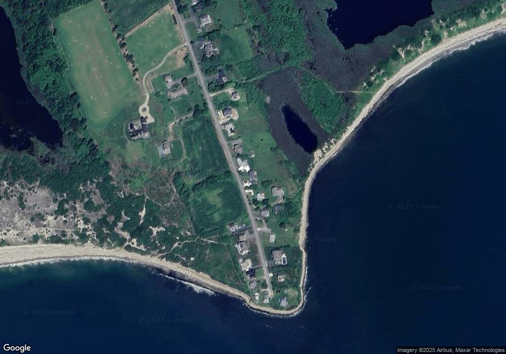
Map
Nearby Homes
- 304 Brayton Point Rd
- 189 Brayton Point Rd
- 19 Seabury Ln
- 18 Old Barn Rd
- 128 Maple Ave
- 255 John Dyer Rd
- 141 S Of Commons Rd
- 505 Long Hwy
- 1881 Main Rd
- 245 John Dyer Rd
- 1749 Main Rd
- 0 Willow Ave
- 1580 Main Rd
- 576 W Main Rd
- 1702J Drift Rd
- 536 W Main Rd
- 1702 Drift Rd
- 8 Taylors Ln
- 116 Amy Hart Path
- 1346 Main Rd Unit B
- 302 Brayton Point Rd Unit WINTER
- 302 Brayton Point Rd
- 292 Brayton Point Rd
- 300 Brayton Point Rd
- 288 Brayton Point Rd
- 306 Brayton Point Rd
- 311 Brayton Point Rd
- 284 Brayton Point Rd
- 314 Brayton Point Rd
- 317 Brayton Point Rd
- 278 Brayton Point Rd
- 318 Brayton Point Rd
- 272 Brayton Point Rd
- 321 Brayton Point Rd
- 325 Brayton Point Rd
- 324 Brayton Point Rd
- 270 Brayton Point Rd
- 327 Brayton Point Rd
- 263 Brayton Pt Rd
- 263 Brayton Point Rd Unit 273