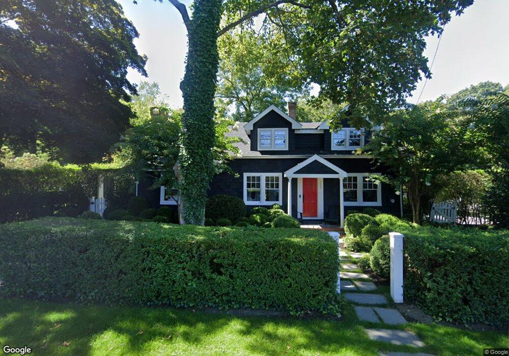
298 Division St Sag Harbor, NY 11963
Estimated Value: $1,981,000 - $3,570,000
4
Beds
2
Baths
1,404
Sq Ft
$1,968/Sq Ft
Est. Value
About This Home
This home is located at 298 Division St, Sag Harbor, NY 11963 and is currently estimated at $2,762,377, approximately $1,967 per square foot. 298 Division St is a home located in Suffolk County with nearby schools including Sag Harbor Elementary School, Pierson Middle/High School, and Ross School.
Ownership History
Date
Name
Owned For
Owner Type
Purchase Details
Closed on
Jul 11, 2019
Sold by
Dupont Michael
Bought by
Merle Julien and Gulin-Merle Marie
Current Estimated Value
Purchase Details
Closed on
Dec 19, 2007
Sold by
Alvardo John
Bought by
Dupont Michael
Purchase Details
Closed on
Sep 19, 2005
Sold by
Matles Karen
Bought by
Alvarado John
Purchase Details
Closed on
Apr 16, 2002
Sold by
Lattanzio Joseph
Bought by
Kosinski Gwen L and Matles Karen
Purchase Details
Closed on
Mar 1, 1999
Sold by
Lattanzio Joseph
Bought by
Kosinski Gwen L and Matles Karen
Create a Home Valuation Report for This Property
The Home Valuation Report is an in-depth analysis detailing your home's value as well as a comparison with similar homes in the area
Home Values in the Area
Average Home Value in this Area
Purchase History
| Date | Buyer | Sale Price | Title Company |
|---|---|---|---|
| Merle Julien | $2,050,000 | -- | |
| Dupont Michael | $1,600,000 | Deborah Kooperstein | |
| Dupont Michael | -- | Deborah Kooperstein | |
| Alvarado John | $895,000 | Craig Gibson | |
| Kosinski Gwen L | -- | -- | |
| Kosinski Gwen L | -- | Fidelity National Title |
Source: Public Records
Tax History Compared to Growth
Tax History
| Year | Tax Paid | Tax Assessment Tax Assessment Total Assessment is a certain percentage of the fair market value that is determined by local assessors to be the total taxable value of land and additions on the property. | Land | Improvement |
|---|---|---|---|---|
| 2024 | $5,539 | $1,994,100 | $826,900 | $1,167,200 |
| 2023 | $5,484 | $1,994,100 | $826,900 | $1,167,200 |
| 2022 | $5,415 | $1,994,100 | $826,900 | $1,167,200 |
| 2021 | $3,026 | $1,107,400 | $826,900 | $280,500 |
| 2020 | $5,934 | $1,107,400 | $826,900 | $280,500 |
| 2019 | $8,831 | $0 | $0 | $0 |
| 2018 | -- | $1,073,600 | $826,900 | $246,700 |
| 2017 | $6,168 | $1,073,600 | $826,900 | $246,700 |
| 2016 | $6,415 | $1,073,600 | $826,900 | $246,700 |
| 2015 | -- | $1,073,600 | $826,900 | $246,700 |
| 2014 | -- | $1,073,600 | $826,900 | $246,700 |
Source: Public Records
Map
Nearby Homes
- 11 Grand St
- 12 Marsden St
- 233 Madison St
- 41 Montauk Ave
- 207 Madison St
- 159 Jermain Ave
- 6 Ackerly St
- 14 Hamilton St
- 17 Elizabeth St
- 57 Palmer Terrace
- 36 Denison Rd
- 11 Carver St
- 278 Hampton St
- 109 Franklin Ave
- 1206 Middle Line Hwy
- 57 Jermain Ave
- 5 Washington Ave
- 28 Palmer Terrace
- 7 Somers Place
- 100 Bay St