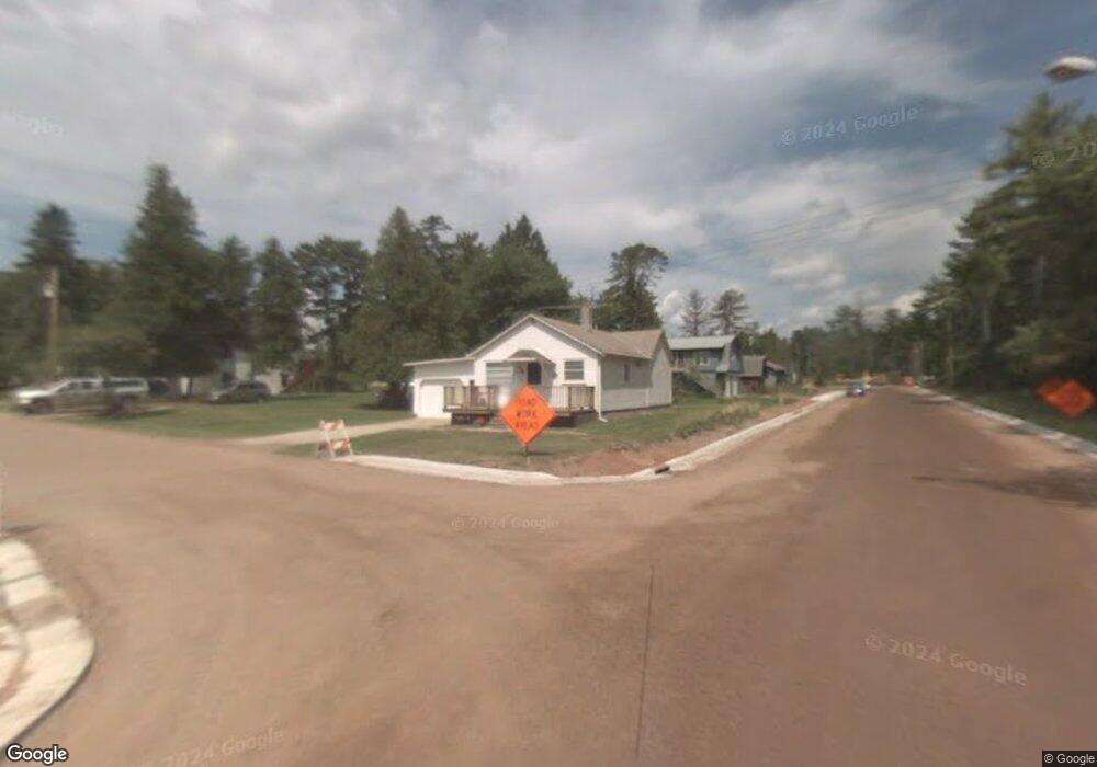
298 Library St La Pointe, WI 54850
Estimated Value: $128,373 - $281,000
Studio
--
Bath
--
Sq Ft
8,276
Sq Ft Lot
About This Home
This home is located at 298 Library St, La Pointe, WI 54850 and is currently estimated at $204,687. 298 Library St is a home with nearby schools including Bayfield High School.
Ownership History
Date
Name
Owned For
Owner Type
Purchase Details
Closed on
Jul 31, 2012
Sold by
Cadotte Denise E and Cadotte Lemere Marcia L
Bought by
Johnson David G and Rasmus Michael S
Current Estimated Value
Home Financials for this Owner
Home Financials are based on the most recent Mortgage that was taken out on this home.
Original Mortgage
$86,250
Outstanding Balance
$10,863
Interest Rate
3.6%
Mortgage Type
New Conventional
Estimated Equity
$193,824
Create a Home Valuation Report for This Property
The Home Valuation Report is an in-depth analysis detailing your home's value as well as a comparison with similar homes in the area
Purchase History
| Date | Buyer | Sale Price | Title Company |
|---|---|---|---|
| Johnson David G | $100,000 | Choice Title |
Source: Public Records
Mortgage History
| Date | Status | Borrower | Loan Amount |
|---|---|---|---|
| Open | Johnson David G | $86,250 |
Source: Public Records
Tax History
| Year | Tax Paid | Tax Assessment Tax Assessment Total Assessment is a certain percentage of the fair market value that is determined by local assessors to be the total taxable value of land and additions on the property. | Land | Improvement |
|---|---|---|---|---|
| 2025 | $2,218 | $102,100 | $17,500 | $84,600 |
| 2024 | $2,102 | $102,100 | $17,500 | $84,600 |
| 2023 | $1,349 | $56,000 | $13,200 | $42,800 |
| 2022 | $1,241 | $56,000 | $13,200 | $42,800 |
| 2021 | $1,240 | $56,000 | $13,200 | $42,800 |
| 2020 | $1,203 | $56,000 | $13,200 | $42,800 |
| 2019 | $1,141 | $56,000 | $13,200 | $42,800 |
| 2018 | $1,071 | $56,000 | $13,200 | $42,800 |
| 2017 | $1,053 | $56,000 | $13,200 | $42,800 |
| 2016 | $1,056 | $56,000 | $13,200 | $42,800 |
| 2015 | $1,178 | $56,000 | $13,200 | $42,800 |
| 2014 | $975 | $56,700 | $13,900 | $42,800 |
| 2013 | $1,014 | $56,700 | $13,900 | $42,800 |
Source: Public Records
Map
Nearby Homes
- Lot 1, Block 1 Raspberry Trail
- Lot 3, Block 1 Raspberry Trail
- Lot 5 Raspberry Trail
- Lot 6, Block 1 Raspberry Trail
- Lot 2, Block 2 Raspberry Trail
- 804 Middle Rd
- 1161 Middle Rd
- 1117 S Shore Rd
- XXX Old San Rd Unit 12
- XXX Old San Rd Unit 11
- XXX Old San Rd Unit TBD-Farmhouse
- XXX Old San Rd Unit TBD- Woodland
- XXX Old San Rd Unit 16
- XXX Old San Rd Unit TBD-Field Pair
- Lots 1-5 Wilson Ave
- 107 S 4th St
- 83XXX State Highway 13
- 83XX State Highway 13
- 33 S 4th St
- 231 N 1st St Unit 302
- 295 Library St Unit 283 Colonel Woods Av
- 283 Colonel Woods Ave
- 282 Library St
- 283 Big Bay Rd
- 907 Rice St
- 279 Colonel Woods Ave
- 296 Big Bay Rd
- 860 Rice St
- 886 Rice St
- 241 Voyageur Ln
- 261 Colonel Woods Ave
- 936 Herring St
- E261 Colonel Woods Ave
- 302 Voyageur Ln
- 215 Baraga St
- 896 Whitefish St
- 904 Whitefish St
- 892 Whitefish St
- 888 Whitefish St
- 884 Whitefish St
Your Personal Tour Guide
Ask me questions while you tour the home.