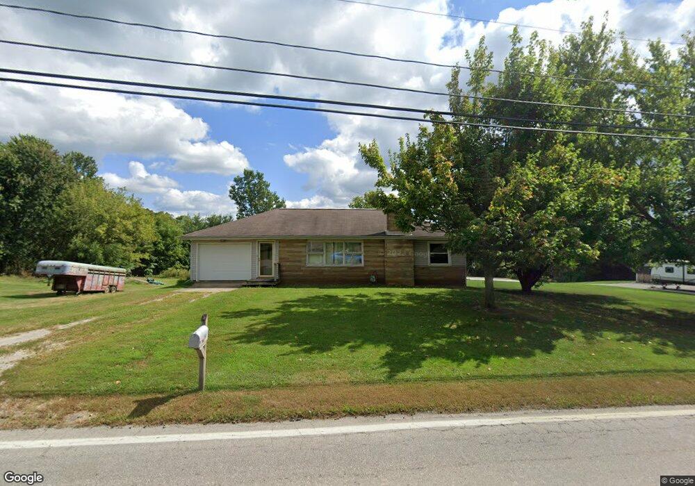
298 Mill St S Dalton, OH 44618
Estimated Value: $153,000 - $226,000
2
Beds
2
Baths
1,020
Sq Ft
$187/Sq Ft
Est. Value
About This Home
This home is located at 298 Mill St S, Dalton, OH 44618 and is currently estimated at $190,322, approximately $186 per square foot. 298 Mill St S is a home located in Wayne County with nearby schools including Dalton Elementary School, Dalton Middle School, and Dalton High School.
Ownership History
Date
Name
Owned For
Owner Type
Purchase Details
Closed on
Sep 13, 2024
Sold by
Alcorn Arnold B and Alcorn Laura K
Bought by
Sword Steven M
Current Estimated Value
Home Financials for this Owner
Home Financials are based on the most recent Mortgage that was taken out on this home.
Original Mortgage
$160,000
Outstanding Balance
$157,431
Interest Rate
6.73%
Mortgage Type
Credit Line Revolving
Estimated Equity
$32,891
Purchase Details
Closed on
May 8, 1996
Sold by
Geiser Dorothy D
Bought by
Alcorn Bryan S
Home Financials for this Owner
Home Financials are based on the most recent Mortgage that was taken out on this home.
Original Mortgage
$60,000
Interest Rate
7.78%
Mortgage Type
New Conventional
Purchase Details
Closed on
Nov 4, 1986
Bought by
Geiser Dorothy D Le
Create a Home Valuation Report for This Property
The Home Valuation Report is an in-depth analysis detailing your home's value as well as a comparison with similar homes in the area
Home Values in the Area
Average Home Value in this Area
Purchase History
| Date | Buyer | Sale Price | Title Company |
|---|---|---|---|
| Sword Steven M | -- | None Listed On Document | |
| Alcorn Bryan S | $63,500 | -- | |
| Geiser Dorothy D Le | -- | -- |
Source: Public Records
Mortgage History
| Date | Status | Borrower | Loan Amount |
|---|---|---|---|
| Open | Sword Steven M | $160,000 | |
| Previous Owner | Alcorn Bryan S | $60,000 |
Source: Public Records
Tax History Compared to Growth
Tax History
| Year | Tax Paid | Tax Assessment Tax Assessment Total Assessment is a certain percentage of the fair market value that is determined by local assessors to be the total taxable value of land and additions on the property. | Land | Improvement |
|---|---|---|---|---|
| 2024 | $1,740 | $49,300 | $15,120 | $34,180 |
| 2023 | $1,740 | $49,300 | $15,120 | $34,180 |
| 2022 | $1,545 | $37,930 | $11,630 | $26,300 |
| 2021 | $1,561 | $37,930 | $11,630 | $26,300 |
| 2020 | $1,583 | $37,930 | $11,630 | $26,300 |
| 2019 | $1,152 | $28,170 | $10,460 | $17,710 |
| 2018 | $1,158 | $28,170 | $10,460 | $17,710 |
| 2017 | $1,143 | $28,170 | $10,460 | $17,710 |
| 2016 | $1,083 | $27,090 | $10,060 | $17,030 |
| 2015 | $1,061 | $27,090 | $10,060 | $17,030 |
| 2014 | $1,067 | $27,090 | $10,060 | $17,030 |
| 2013 | $1,074 | $26,590 | $9,110 | $17,480 |
Source: Public Records
Map
Nearby Homes
- 29 Mill St N
- 119 Briarwood Dr
- 209 Greenbriar Ln
- 0 Dalton Fox Lake Rd
- 223 Tanglewood Dr
- 865 SW Lebanon Rd
- 110 NW Lebanon Rd Unit Lot 62
- 14533 Arnold Rd
- 2424 SW Lebanon Rd
- 14003 Highview Dr
- 13946 Highview Dr
- 13877 Highview Dr
- 16450 Church Rd
- 1821 Deerfield Ave N
- 740 Kidron Rd
- 15299 Lincoln Way W
- 12428 Arnold Rd
- 18803 Church Rd
- 14656 Lincoln St
- 16201 Burton City Rd